Industries
Business Distribution by Industry in Şammā
| Industry Description | Number of Establishments |
|---|---|
| Apartments | 63 |
| Mosques | 14 |
| Grocery stores and supermarkets | 12 |
| Education | 11 |
| Shopping | 11 |
| Restaurants | 11 |
| Electronics stores | 9 |
| Travel and transportation | 7 |
| Cafes | 6 |
| Cemeteries and crematoriums | 5 |
Şammā Facts
| Local Time | |
| Timezone | GMT+03:00 |
| Lat & Lng | 32.57103, 35.69025 |
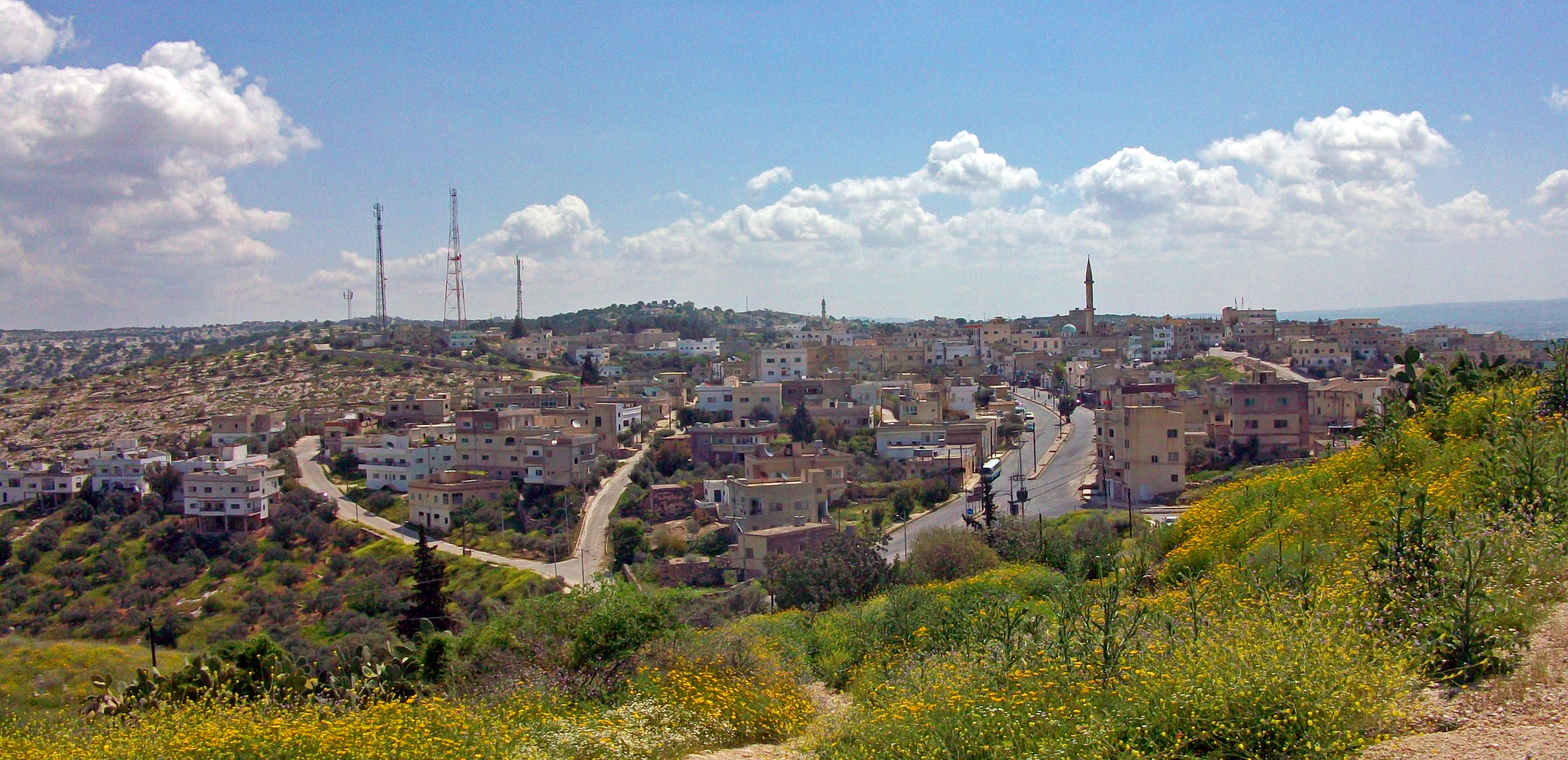
Map of Şammā
Interactive Map
Recent Nearby Earthquakes
Magnitude 3.0 and greater
| Date▼ | Time↕ | Magnitude↕ | Distance↕ | Depth↕ | Location↕ | Link |
|---|---|---|---|---|---|---|
| 7/4/18 | 7:45 PM | 4.7 | 34.1 km | 10,000 m | 5km SE of 'Eilabun, Israel | usgs.gov |
| 7/4/18 | 1:50 AM | 4 | 33.7 km | 10,000 m | 6km SSE of 'Eilabun, Israel | usgs.gov |
| 10/20/13 | 12:54 PM | 3.5 | 33.6 km | 5,000 m | 8km NNE of Tiberias, Israel | usgs.gov |
| 7/10/09 | 6:19 PM | 4 | 87.5 km | 10,000 m | Lebanon - Syria region | usgs.gov |
| 7/2/08 | 9:29 AM | 3.1 | 95.5 km | 20,100 m | Lebanon - Syria region | usgs.gov |
| 6/23/08 | 3:45 PM | 3 | 83.4 km | 1,000 m | Lebanon - Syria region | usgs.gov |
| 6/13/08 | 5:28 AM | 4 | 86 km | 1,000 m | Lebanon - Syria region | usgs.gov |
| 6/12/08 | 4:40 PM | 4 | 86.6 km | 5,400 m | Lebanon - Syria region | usgs.gov |
| 6/12/08 | 3:43 PM | 3.9 | 85.2 km | 4,300 m | Lebanon - Syria region | usgs.gov |
| 6/12/08 | 3:41 PM | 4.2 | 85 km | 0 m | Lebanon - Syria region | usgs.gov |
Source: U.S. Geological Survey (USGS)

About Our Data
The data on this page is estimated using a number of publicly available tools and resources. It is provided without warranty, and could contain inaccuracies. Use at your own risk.