Categories in Roma, Lesotho
Roma, Lesotho Facts
| Local Time | |
| Timezone | South Africa Standard Time |
| Lat & Lng | -29.46134, 27.72494 |
Map of Roma, Lesotho
Interactive Map
Recent Nearby Earthquakes
Magnitude 3.0 and greater
| Date▼ | Time↕ | Magnitude↕ | Distance↕ | Depth↕ | Location↕ | Link |
|---|---|---|---|---|---|---|
| 9/5/16 | 6:22 AM | 4.3 | 21.7 km | 5,000 m | 45km SSE of Maseru, Lesotho | usgs.gov |
| 1/27/02 | 10:09 PM | 4.3 | 60.2 km | 10,000 m | Lesotho | usgs.gov |
| 1/27/02 | 9:50 PM | 4.3 | 43.3 km | 10,000 m | Lesotho | usgs.gov |
| 2/8/95 | 11:26 PM | 3.7 | 55.8 km | 5,000 m | Lesotho | usgs.gov |
| 7/31/93 | 10:38 PM | 3.8 | 23 km | 10,000 m | Lesotho | usgs.gov |
| 5/31/87 | 11:59 AM | 3.6 | 77.7 km | 5,000 m | Lesotho | usgs.gov |
Source: U.S. Geological Survey (USGS)
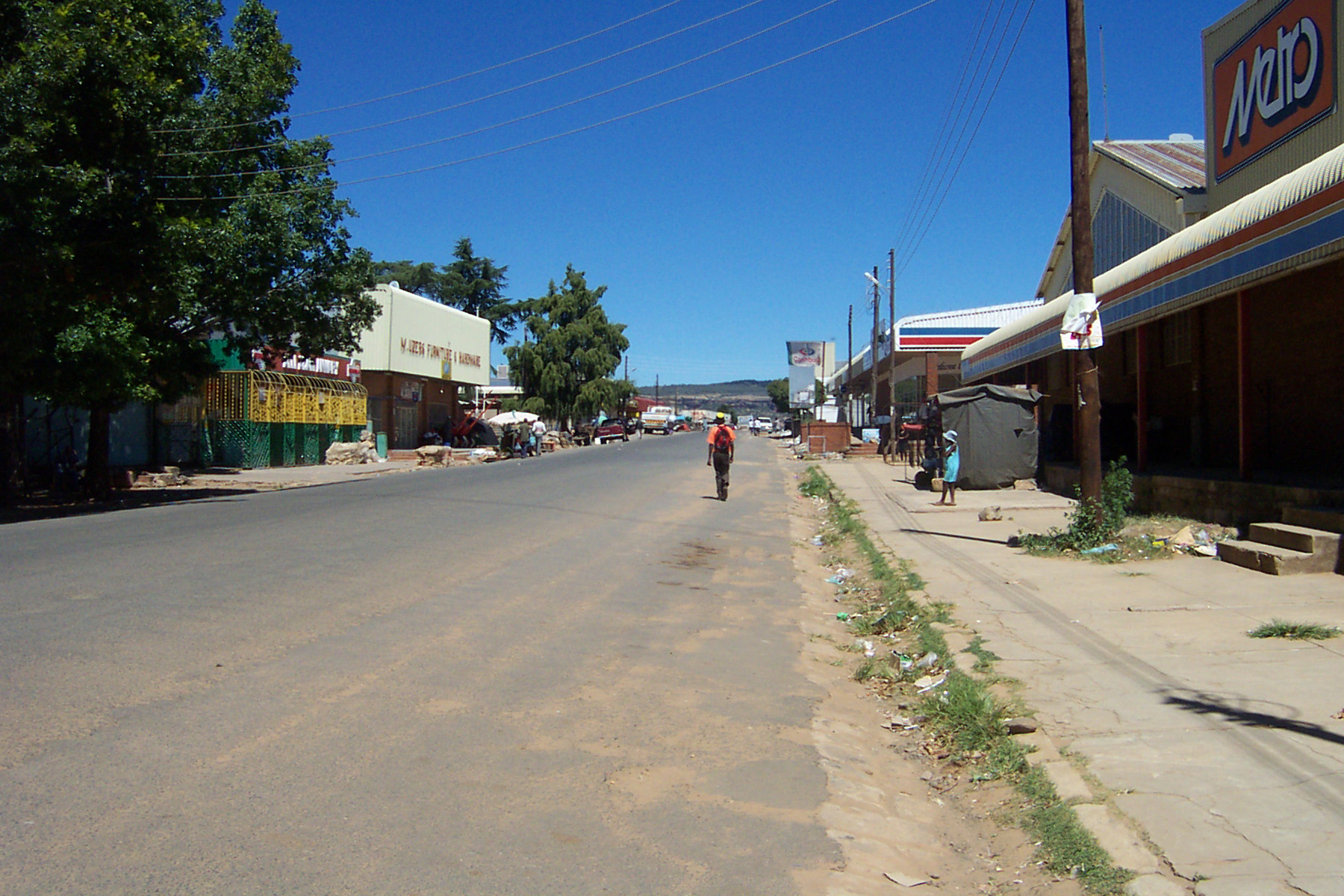
Roma, Lesotho
Roma is a settlement under the Manonyane Community Council in the Maseru District of Lesotho, some 34 kilometers southeast of Maseru, the capital of Lesotho. The Roma valley is broad and fertile, and is surrounded by sandstone cliffs topped to the Ea..
Roma, Lesotho Wikipedia Page


About Our Data
The data on this page is estimated using a number of publicly available tools and resources. It is provided without warranty, and could contain inaccuracies. Use at your own risk.