Thaba Bosigo Facts
| Local Time | |
| Timezone | South Africa Standard Time |
| Lat & Lng | -29.34510, 27.67134 |
Map of Thaba Bosigo
Interactive Map
Recent Nearby Earthquakes
Magnitude 3.0 and greater
| Date▼ | Time↕ | Magnitude↕ | Distance↕ | Depth↕ | Location↕ | Link |
|---|---|---|---|---|---|---|
| 9/5/16 | 6:22 AM | 4.3 | 35.2 km | 5,000 m | 45km SSE of Maseru, Lesotho | usgs.gov |
| 1/27/02 | 10:09 PM | 4.3 | 74.1 km | 10,000 m | Lesotho | usgs.gov |
| 1/27/02 | 9:50 PM | 4.3 | 56.8 km | 10,000 m | Lesotho | usgs.gov |
| 2/8/95 | 11:26 PM | 3.7 | 69.2 km | 5,000 m | Lesotho | usgs.gov |
| 7/31/93 | 10:38 PM | 3.8 | 36.7 km | 10,000 m | Lesotho | usgs.gov |
| 5/31/87 | 11:59 AM | 3.6 | 91.6 km | 5,000 m | Lesotho | usgs.gov |
Source: U.S. Geological Survey (USGS)
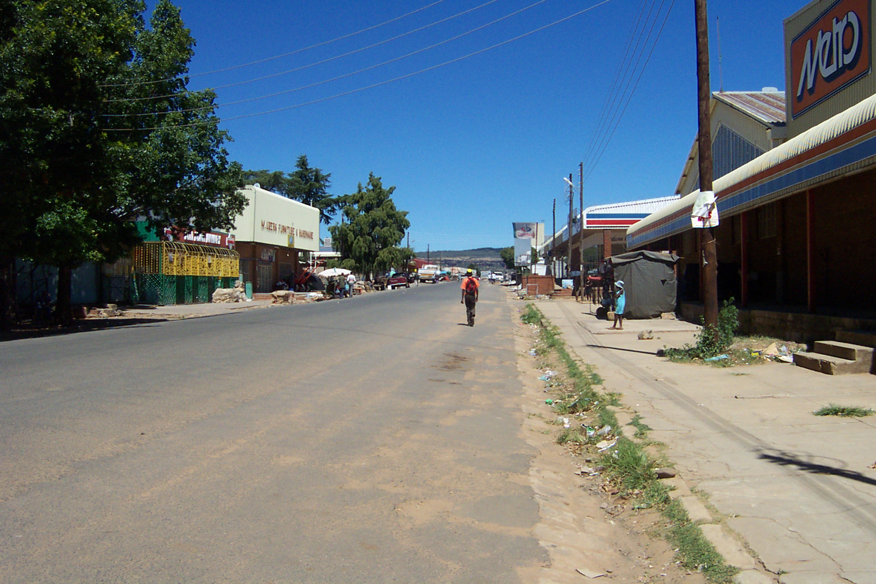
Thaba Bosiu
Thaba Bosiu is a sandstone plateau with an area of approximately 2 km2 and a height of 1,804 meters above sea level. It is located between the Orange and Caledon Rivers in the Maseru District of Lesotho, 24 km east of the country's capital Maseru. t..
Thaba Bosiu Wikipedia Page


About Our Data
The data on this page is estimated using a number of publicly available tools and resources. It is provided without warranty, and could contain inaccuracies. Use at your own risk.