Categories in Berkane
Industries
Business Distribution by Industry in Berkane
| Industry Description | Number of Establishments |
|---|---|
| Cafes | 129 |
| Shopping | 126 |
| Pharmacies and drug stores | 96 |
| Education | 90 |
| Restaurants | 71 |
| Car rental | 51 |
| Public administration | 49 |
| Mosques | 48 |
| Electronics stores | 46 |
| Beauty salons | 42 |
| Finance other | 40 |
| Grocery stores and supermarkets | 39 |
| Health and medical | 34 |
Berkane Facts
| Area | 157.0 km² |
| Population | 169,733 |
| Male Population | 84,442 (49.7%) |
| Female Population | 85,291 (50.3%) |
| Population change (1975 to 2020) | +68.5% |
| Population change (2000 to 2020) | +14.1% |
| Median Age | 29.6 years (Male: 28.4, Female: 30.8) |
| Area Codes | 5362 |
| Neighborhoods | الحي الحسني, Beni Jdid, El Hassani District, Les Orangers District, El Massira District |
| Local Time | |
| Timezone | GMT+01:00 |
| Lat & Lng | 34.92000, -2.32000 |
| Postal Codes | 63300, 63302, 63304, 63305, 63310, More |
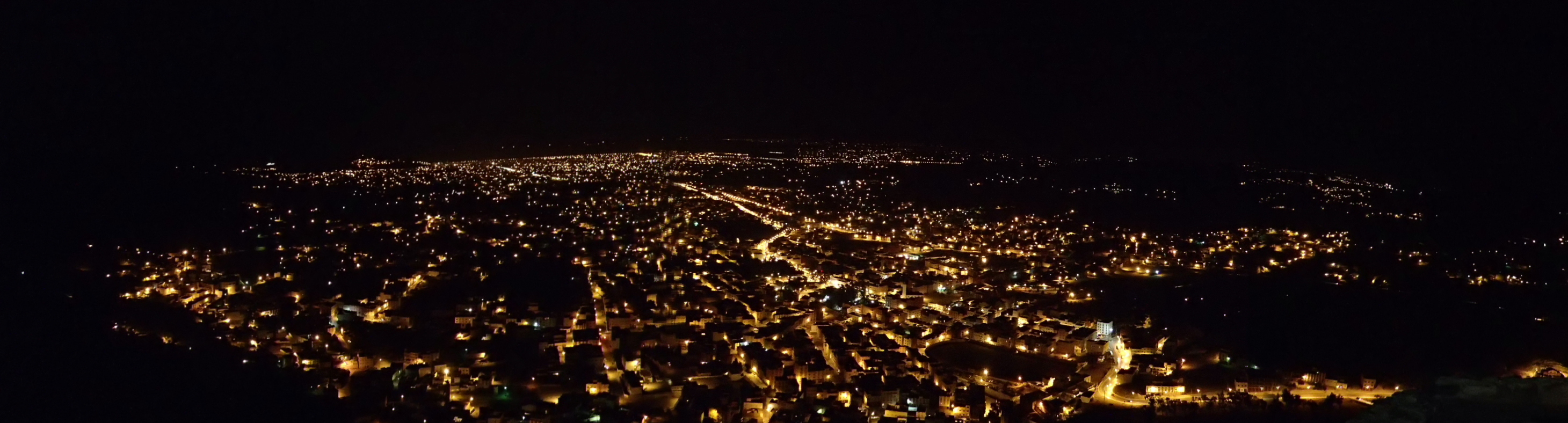
Map of Berkane
Interactive Map
Berkane Population
Years 1975 to 2020
| Data | 1975 | 1990 | 2000 | 2015 | 2020 |
|---|---|---|---|---|---|
| Population | 100,709 | 134,719 | 148,715 | 162,295 | 169,733 |
| Population Density | 641.5 / km² | 858.1 / km² | 947.2 / km² | 1,033.7 / km² | 1,081.1 / km² |
Berkane Population change from 2000 to 2015
Increase of 9.1% from year 2000 to 2015
| Location | Change since 1975 | Change since 1990 | Change since 2000 |
|---|---|---|---|
| Berkane | +61.2% | +20.5% | +9.1% |
| Oriental (Morocco) | +74.5% | +28.7% | +13.3% |
| Morocco | +95.4% | +38.9% | +19.4% |
Berkane Median Age
Median Age: 29.6 years
| Location | Median Age | Median Age (Female) | Median Age (Male) |
|---|---|---|---|
| Berkane | 29.6 yrs | 30.8 yrs | 28.4 yrs |
| Oriental (Morocco) | 27.7 yrs | 28.5 yrs | 26.8 yrs |
| Morocco | 26.6 yrs | 27 yrs | 26.2 yrs |
Berkane Population Density
Population Density: 1,081 / km²
| Location | Population | Area | Density |
|---|---|---|---|
| Berkane | 169,733 | 157 km² | 1,081 / km² |
| Oriental (Morocco) | 2.1 million | 58,229.8 km² | 36 / km² |
| Morocco | 34.5 million | 591,745.3 km² | 58.4 / km² |
Berkane Historical and Projected Population
Estimated Population from 1300 to 2100
- JRC (European Commission's Joint Research Centre) work on the GHS built-up grid
- CIESIN (Center for International Earth Science Information Network)
- [Link] Klein Goldewijk, K., Beusen, A., Doelman, J., and Stehfest, E.: Anthropogenic land use estimates for the Holocene – HYDE 3.2, Earth Syst. Sci. Data, 9, 927–953, https://doi.org/10.5194/essd-9-927-2017, 2017.
Neighborhoods in Berkane
Percentage of businesses by neighborhood in Berkane
Area Codes
Percentage Area Codes used by businesses in Berkane
Postal Codes
Percentage of businesses by Postal Codes in Berkane
Price Distribution
Business distribution by price for Berkane
Human Development Index (HDI)
Statistic composite index of life expectancy, education, and per capita income.
Berkane CO2 Emissions
Carbon Dioxide (CO2) Emissions Per Capita in Tonnes Per Year
| Location | CO2 Emissions | CO2 Emissions Per Capita | CO2 Emissions Intensity |
|---|---|---|---|
| Berkane | 350,982 tn | 2.07 tn | 2,235.6 tons/km² |
| Oriental (Morocco) | 3,449,092 tn | 1.64 tn | 59.2 tons/km² |
| Morocco | 39,324,427 tn | 1.14 tn | 66.5 tons/km² |
| 2013 CO2 emissions (tonnes/year) | 350,982 tn |
| 2013 CO2 emissions (tonnes/year) per capita | 2.07 tn |
| 2013 CO2 emissions intensity (tonnes/km²/year) | 2,235.6 tons/km² |
Natural Hazards Risk
Relative risk out of 10
| Hazard | Risk Level |
|---|---|
| Earthquake | Medium (4) |
* Risk, particularly concerning flood or landslide, may not be for the entire area.
- Dilley, M., R.S. Chen, U. Deichmann, A.L. Lerner-Lam, M. Arnold, J. Agwe, P. Buys, O. Kjekstad, B. Lyon, and G. Yetman. 2005. Natural Disaster Hotspots: A Global Risk Analysis. Washington, D.C.: World Bank. https://doi.org/10.1596/0-8213-5930-4.
- Center for Hazards and Risk Research - CHRR - Columbia University, Center for International Earth Science Information Network - CIESIN - Columbia University. 2005. Global Earthquake Hazard Distribution - Peak Ground Acceleration. Palisades, NY: NASA Socioeconomic Data and Applications Center (SEDAC). https://doi.org/10.7927/H4BZ63ZS.
Recent Nearby Earthquakes
Magnitude 3.0 and greater
| Date▼ | Time↕ | Magnitude↕ | Distance↕ | Depth↕ | Location↕ | Link |
|---|---|---|---|---|---|---|
| 3/6/15 | 4:01 AM | 4.3 | 44.1 km | 5,000 m | 8km SW of Zaio, Morocco | usgs.gov |
| 7/31/14 | 5:14 PM | 4.1 | 59.6 km | 7,500 m | 8km SSW of Selouane, Morocco | usgs.gov |
| 4/29/13 | 7:27 PM | 4.1 | 27.6 km | 8,100 m | Morocco | usgs.gov |
| 10/14/08 | 6:59 PM | 3.3 | 61 km | 0 m | northern Algeria | usgs.gov |
| 8/10/08 | 9:10 PM | 3.1 | 34 km | 0 m | Strait of Gibraltar | usgs.gov |
| 7/19/08 | 8:02 PM | 3.2 | 37.9 km | 0 m | northern Algeria | usgs.gov |
| 9/19/06 | 4:26 AM | 3.3 | 60.1 km | 8,600 m | Morocco | usgs.gov |
| 5/14/06 | 4:52 PM | 3.5 | 55.8 km | 0 m | Morocco | usgs.gov |
| 12/11/05 | 2:20 AM | 3.4 | 16.7 km | 14,100 m | Morocco | usgs.gov |
| 8/26/05 | 11:37 PM | 3.8 | 3.6 km | 16,500 m | Morocco | usgs.gov |
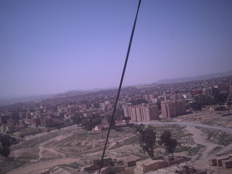
Berkane
Berkane or (Berber: Berkan, Arabic: بَركان) is a city in the northeastern Morocco (Rif) in the area of Trifa, limited by the Mediterranean to its north, the Kiss Oued (Moroccan-Algerian border) and Oujda Province in the east, Nador Province to the w..
Berkane Wikipedia Page
About Our Data
The data on this page is estimated using a number of publicly available tools and resources. It is provided without warranty, and could contain inaccuracies. Use at your own risk.