Pindaya Facts
| Local Time | |
| Timezone | Myanmar Time |
| Lat & Lng | 20.94318, 96.66266 |
Map of Pindaya
Interactive Map
Price Distribution
Business distribution by price for Pindaya
Recent Nearby Earthquakes
Magnitude 3.0 and greater
| Date▼ | Time↕ | Magnitude↕ | Distance↕ | Depth↕ | Location↕ | Link |
|---|---|---|---|---|---|---|
| 8/18/12 | 4:01 AM | 4.1 | 67 km | 10,000 m | Myanmar | usgs.gov |
| 4/16/07 | 5:02 PM | 4.5 | 92.3 km | 23,100 m | Myanmar | usgs.gov |
| 5/14/06 | 10:15 PM | 4.1 | 89 km | 10,000 m | Myanmar | usgs.gov |
| 1/9/05 | 5:42 PM | 3.6 | 86.1 km | 10,000 m | Myanmar | usgs.gov |
| 11/6/03 | 1:59 PM | 4.3 | 18.7 km | 10,000 m | Myanmar | usgs.gov |
| 2/5/96 | 2:36 PM | 4.1 | 39.9 km | 33,000 m | Myanmar | usgs.gov |
| 6/30/91 | 10:50 PM | 4.2 | 14.5 km | 33,000 m | Myanmar | usgs.gov |
| 1/1/88 | 10:14 PM | 5.2 | 95.4 km | 25,500 m | Myanmar | usgs.gov |
| 5/4/83 | 9:19 PM | 4.5 | 25.2 km | 33,200 m | Myanmar | usgs.gov |
| 2/17/76 | 7:50 AM | 4.3 | 95.6 km | 33,000 m | Myanmar | usgs.gov |
Source: U.S. Geological Survey (USGS)
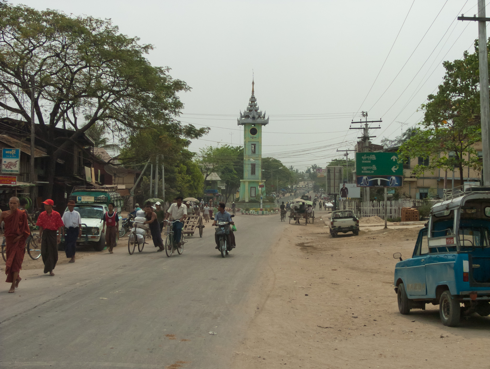
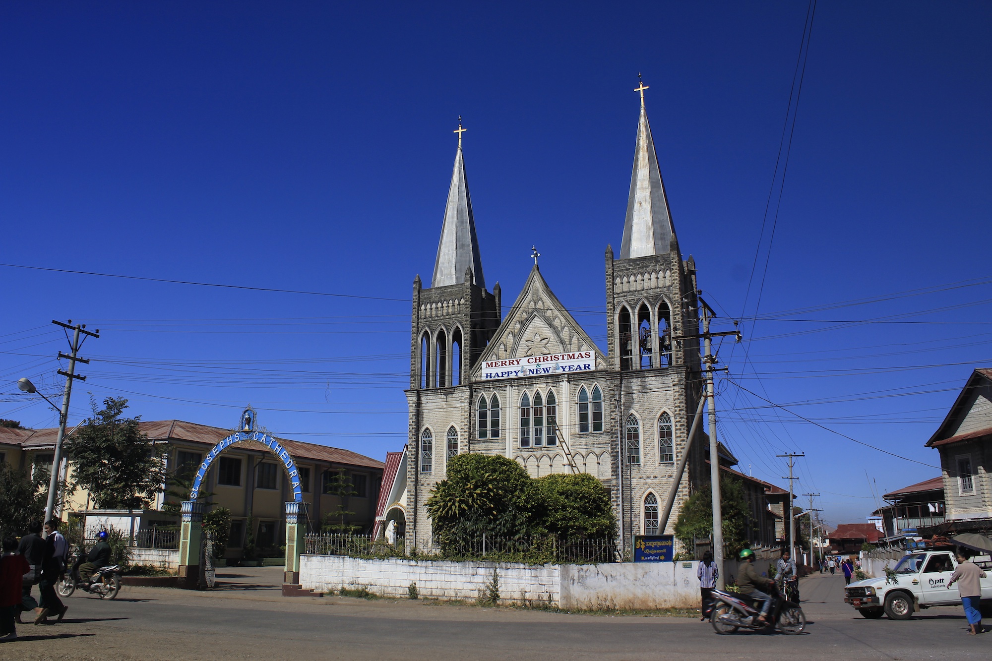
Pindaya
Pindaya (Burmese: ပင်းတယမြို့) is a town in the Shan State of Burma. It is located in the west of the state in Pindaya Township in Taunggyi District. Mainly famous for its limestone caves called Pindaya Caves where thousands of Buddha images have bee..
Pindaya Wikipedia Page

About Our Data
The data on this page is estimated using a number of publicly available tools and resources. It is provided without warranty, and could contain inaccuracies. Use at your own risk.