Pinlaung Facts
| Local Time | |
| Timezone | Myanmar Time |
| Lat & Lng | 20.12295, 96.78219 |
Map of Pinlaung
Interactive Map
Recent Nearby Earthquakes
Magnitude 3.0 and greater
| Date▼ | Time↕ | Magnitude↕ | Distance↕ | Depth↕ | Location↕ | Link |
|---|---|---|---|---|---|---|
| 6/27/18 | 1:02 PM | 4.7 | 74.5 km | 10,000 m | 9km N of Nay Pyi Taw, Burma | usgs.gov |
| 3/7/18 | 9:13 PM | 4.8 | 94.1 km | 10,000 m | 22km WNW of Nay Pyi Taw, Burma | usgs.gov |
| 3/19/16 | 11:17 PM | 4.3 | 93.4 km | 27,050 m | 63km NE of Loikaw, Burma | usgs.gov |
| 6/8/14 | 9:15 AM | 4.6 | 82.9 km | 27,030 m | 12km SSW of Pyinmana, Burma | usgs.gov |
| 8/18/12 | 4:01 AM | 4.1 | 83.6 km | 10,000 m | Myanmar | usgs.gov |
| 4/16/07 | 5:02 PM | 4.5 | 93.3 km | 23,100 m | Myanmar | usgs.gov |
| 8/5/05 | 10:46 AM | 4.1 | 41.2 km | 100,000 m | Myanmar | usgs.gov |
| 12/30/04 | 1:13 AM | 5 | 89.4 km | 51,600 m | Myanmar | usgs.gov |
| 3/20/04 | 7:39 PM | 4.4 | 82.1 km | 40,500 m | Myanmar | usgs.gov |
| 1/11/04 | 2:56 PM | 4.5 | 99.2 km | 10,000 m | Myanmar | usgs.gov |
Source: U.S. Geological Survey (USGS)
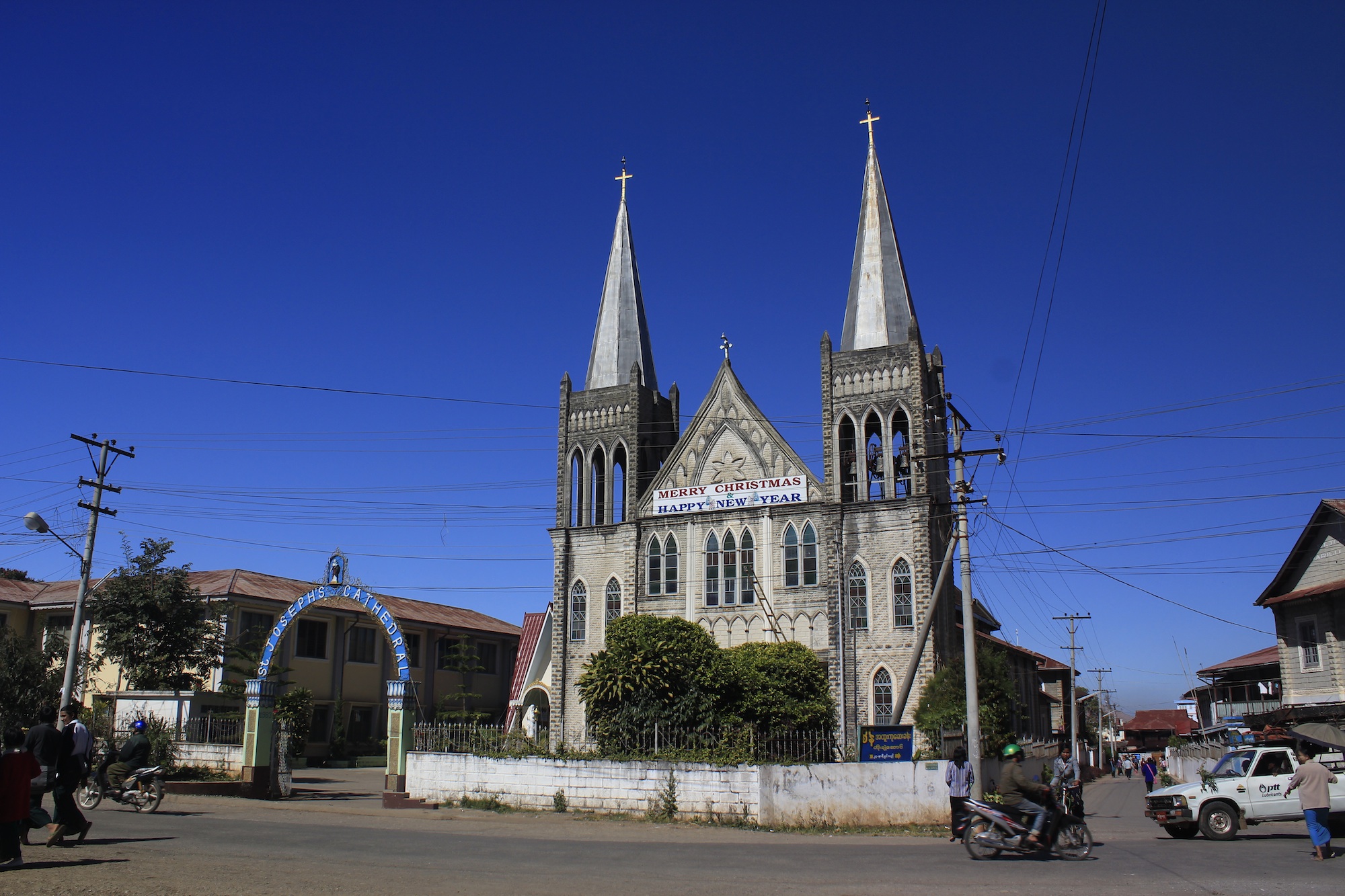
Pinlaung
Pinlaung is a town and seat of Pinlaung Township, in the Pa-O Self-Administered Zone of Shan State of eastern-central Burma. It lies along National Road 54, north-west by road from Loikaw .
Pinlaung Wikipedia Page

About Our Data
The data on this page is estimated using a number of publicly available tools and resources. It is provided without warranty, and could contain inaccuracies. Use at your own risk.