Categories in Bacalar
Industries
Business Distribution by Industry in Bacalar
| Industry Description | Number of Establishments |
|---|---|
| Restaurants | 334 |
| Hotels and motels | 307 |
| Other accommodation | 199 |
| Shopping | 108 |
| Grocery stores and supermarkets | 75 |
| Tour operators | 65 |
| Education | 54 |
| Travel agencies | 52 |
Bacalar Facts
| Area | 6.1 km² |
| Population | 13,200 |
| Male Population | 6,449 (48.9%) |
| Female Population | 6,751 (51.1%) |
| Population change (1975 to 2020) | +194.4% |
| Population change (2000 to 2020) | +37.7% |
| Median Age | 24.5 years (Male: 23.8, Female: 25.1) |
| Area Codes | 467 |
| Neighborhoods | Centro, Mario Villanueva Madrid, Magisterial, Benito Juárez, Luis Donaldo Colosio |
| Local Time | |
| Timezone | Eastern Standard Time |
| Lat & Lng | 18.68109, -88.39333 |
| Postal Codes | 77900, 77923, 77927, 77930, 77934, More |
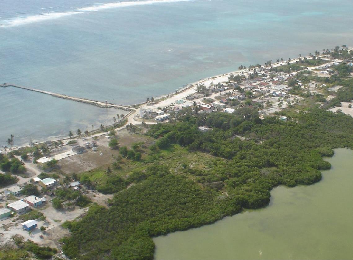
Map of Bacalar
Interactive Map
Bacalar Population
Years 1975 to 2020
| Data | 1975 | 1990 | 2000 | 2015 | 2020 |
|---|---|---|---|---|---|
| Population | 4,484 | 7,361 | 9,583 | 12,617 | 13,200 |
| Population Density | 732.1 / km² | 1,201.8 / km² | 1,564.6 / km² | 2,059.9 / km² | 2,155.1 / km² |
Bacalar Population change from 2000 to 2015
Increase of 31.7% from year 2000 to 2015
| Location | Change since 1975 | Change since 1990 | Change since 2000 |
|---|---|---|---|
| Bacalar | +181.4% | +71.4% | +31.7% |
| Quintana Roo | +282.2% | +112.5% | +52% |
| Mexico | +108.7% | +48.4% | +23.5% |
Bacalar Median Age
Median Age: 24.5 years
| Location | Median Age | Median Age (Female) | Median Age (Male) |
|---|---|---|---|
| Bacalar | 24.5 yrs | 25.1 yrs | 23.8 yrs |
| Quintana Roo | 25.4 yrs | 25.3 yrs | 25.4 yrs |
| Mexico | 26.2 yrs | 27 yrs | 25.3 yrs |
Bacalar Population Density
Population Density: 2,155 / km²
| Location | Population | Area | Density |
|---|---|---|---|
| Bacalar | 13,200 | 6.1 km² | 2,155 / km² |
| Quintana Roo | 1.6 million | 44,825 km² | 35.4 / km² |
| Mexico | 126.8 million | 1,965,208 km² | 64.5 / km² |
Bacalar Historical and Projected Population
Estimated Population from 1300 to 2100
- JRC (European Commission's Joint Research Centre) work on the GHS built-up grid
- CIESIN (Center for International Earth Science Information Network)
- [Link] Klein Goldewijk, K., Beusen, A., Doelman, J., and Stehfest, E.: Anthropogenic land use estimates for the Holocene – HYDE 3.2, Earth Syst. Sci. Data, 9, 927–953, https://doi.org/10.5194/essd-9-927-2017, 2017.
Neighborhoods in Bacalar
Percentage of businesses by neighborhood in Bacalar
Price Distribution
Business distribution by price for Bacalar
Human Development Index (HDI)
Statistic composite index of life expectancy, education, and per capita income.
Bacalar CO2 Emissions
Carbon Dioxide (CO2) Emissions Per Capita in Tonnes Per Year
| Location | CO2 Emissions | CO2 Emissions Per Capita | CO2 Emissions Intensity |
|---|---|---|---|
| Bacalar | 57,556 tn | 4.36 tn | 9,396.9 tons/km² |
| Quintana Roo | 6,481,649 tn | 4.09 tn | 144.6 tons/km² |
| Mexico | 496,865,013 tn | 3.92 tn | 252.8 tons/km² |
| 2013 CO2 emissions (tonnes/year) | 57,556 tn |
| 2013 CO2 emissions (tonnes/year) per capita | 4.36 tn |
| 2013 CO2 emissions intensity (tonnes/km²/year) | 9,396.9 tons/km² |
Natural Hazards Risk
Relative risk out of 10
| Hazard | Risk Level |
|---|---|
| Flood | Medium (7) |
| Earthquake | Low (2) |
| Cyclone | High (8) |
* Risk, particularly concerning flood or landslide, may not be for the entire area.
- Dilley, M., R.S. Chen, U. Deichmann, A.L. Lerner-Lam, M. Arnold, J. Agwe, P. Buys, O. Kjekstad, B. Lyon, and G. Yetman. 2005. Natural Disaster Hotspots: A Global Risk Analysis. Washington, D.C.: World Bank. https://doi.org/10.1596/0-8213-5930-4.
- Center for Hazards and Risk Research - CHRR - Columbia University, Center for International Earth Science Information Network - CIESIN - Columbia University, International Bank for Reconstruction and Development - The World Bank, and United Nations Environment Programme Global Resource Information Database Geneva - UNEP/GRID-Geneva. 2005. Global Cyclone Hazard Frequency and Distribution. Palisades, NY: NASA Socioeconomic Data and Applications Center (SEDAC). https://doi.org/10.7927/H4CZ353K.
- Center for Hazards and Risk Research - CHRR - Columbia University, Center for International Earth Science Information Network - CIESIN - Columbia University. 2005. Global Flood Hazard Frequency and Distribution. Palisades, NY: NASA Socioeconomic Data and Applications Center (SEDAC). https://doi.org/10.7927/H4668B3D.
- Center for Hazards and Risk Research - CHRR - Columbia University, Center for International Earth Science Information Network - CIESIN - Columbia University. 2005. Global Earthquake Hazard Distribution - Peak Ground Acceleration. Palisades, NY: NASA Socioeconomic Data and Applications Center (SEDAC). https://doi.org/10.7927/H4BZ63ZS.
Recent Nearby Earthquakes
Magnitude 3.0 and greater
| Date▼ | Time↕ | Magnitude↕ | Distance↕ | Depth↕ | Location↕ | Link |
|---|---|---|---|---|---|---|
| 6/10/02 | 5:36 AM | 4.1 | 74.6 km | 10,000 m | Quintana Roo, Mexico | usgs.gov |
Bacalar
Bacalar (Spanish [bakala'r] ) is the municipal seat and largest city in Bacalar Municipality (until 2011 a part of Othón P. Blanco Municipality) in the Mexican state of Quintana Roo, about 40 kilometres (25 mi) north of Chetumal, at 18° 40' 37" N, 8..
Bacalar Wikipedia Page


About Our Data
The data on this page is estimated using a number of publicly available tools and resources. It is provided without warranty, and could contain inaccuracies. Use at your own risk.