Categories in Chalchihuites
Industries
Business Distribution by Industry in Chalchihuites
| Industry Description | Number of Establishments |
|---|---|
| Restaurants | 17 |
| Shopping | 14 |
| Grocery stores and supermarkets | 13 |
| Churches | 11 |
| Education | 10 |
| Public administration | 8 |
| Gas station | 6 |
| Car repair | 5 |
Chalchihuites Facts
| Area | 2.6 km² |
| Population | 4,104 |
| Male Population | 1,904 (46.4%) |
| Female Population | 2,200 (53.6%) |
| Population change (1975 to 2020) | +29.7% |
| Population change (2000 to 2020) | +1.7% |
| Median Age | 26.7 years (Male: 27.1, Female: 26.4) |
| Area Codes | 346 |
| Neighborhoods | Centro, Centró, alameda, Zacatecas, La Colorada |
| Local Time | |
| Timezone | Central Standard Time |
| Lat & Lng | 23.47498, -103.88293 |
| Postal Codes | 99260, 99270, 99279 |
Map of Chalchihuites
Interactive Map
Chalchihuites Population
Years 1975 to 2020
| Data | 1975 | 1990 | 2000 | 2015 | 2020 |
|---|---|---|---|---|---|
| Population | 3,165 | 3,820 | 4,037 | 3,911 | 4,104 |
| Population Density | 1,205.7 / km² | 1,455.2 / km² | 1,537.9 / km² | 1,489.9 / km² | 1,563.4 / km² |
Chalchihuites Population change from 2000 to 2015
Decrease of 3.1% from year 2000 to 2015
| Location | Change since 1975 | Change since 1990 | Change since 2000 |
|---|---|---|---|
| Chalchihuites | +23.6% | +2.4% | -3.1% |
| Zacatecas | +125.5% | +51.9% | +23.7% |
| Mexico | +108.7% | +48.4% | +23.5% |
Chalchihuites Median Age
Median Age: 26.7 years
| Location | Median Age | Median Age (Female) | Median Age (Male) |
|---|---|---|---|
| Chalchihuites | 26.7 yrs | 26.4 yrs | 27.1 yrs |
| Zacatecas | 25.1 yrs | 25.8 yrs | 24.3 yrs |
| Mexico | 26.2 yrs | 27 yrs | 25.3 yrs |
Chalchihuites Population Density
Population Density: 1,563 / km²
| Location | Population | Area | Density |
|---|---|---|---|
| Chalchihuites | 4,104 | 2.625 km² | 1,563 / km² |
| Zacatecas | 1.7 million | 75,275.4 km² | 22.3 / km² |
| Mexico | 126.8 million | 1,965,208 km² | 64.5 / km² |
Chalchihuites Historical and Projected Population
Estimated Population from 0 to 2100
- JRC (European Commission's Joint Research Centre) work on the GHS built-up grid
- CIESIN (Center for International Earth Science Information Network)
- [Link] Klein Goldewijk, K., Beusen, A., Doelman, J., and Stehfest, E.: Anthropogenic land use estimates for the Holocene – HYDE 3.2, Earth Syst. Sci. Data, 9, 927–953, https://doi.org/10.5194/essd-9-927-2017, 2017.
Neighborhoods in Chalchihuites
Percentage of businesses by neighborhood in Chalchihuites
Price Distribution
Business distribution by price for Chalchihuites
Human Development Index (HDI)
Statistic composite index of life expectancy, education, and per capita income.
Chalchihuites CO2 Emissions
Carbon Dioxide (CO2) Emissions Per Capita in Tonnes Per Year
| Location | CO2 Emissions | CO2 Emissions Per Capita | CO2 Emissions Intensity |
|---|---|---|---|
| Chalchihuites | 14,452 tn | 3.52 tn | 5,505.6 tons/km² |
| Zacatecas | 5,919,877 tn | 3.53 tn | 78.6 tons/km² |
| Mexico | 496,865,013 tn | 3.92 tn | 252.8 tons/km² |
| 2013 CO2 emissions (tonnes/year) | 14,452 tn |
| 2013 CO2 emissions (tonnes/year) per capita | 3.52 tn |
| 2013 CO2 emissions intensity (tonnes/km²/year) | 5,505.6 tons/km² |
Natural Hazards Risk
Relative risk out of 10
| Hazard | Risk Level |
|---|---|
| Drought | High (10) |
* Risk, particularly concerning flood or landslide, may not be for the entire area.
- Dilley, M., R.S. Chen, U. Deichmann, A.L. Lerner-Lam, M. Arnold, J. Agwe, P. Buys, O. Kjekstad, B. Lyon, and G. Yetman. 2005. Natural Disaster Hotspots: A Global Risk Analysis. Washington, D.C.: World Bank. https://doi.org/10.1596/0-8213-5930-4.
- Center for Hazards and Risk Research - CHRR - Columbia University, Center for International Earth Science Information Network - CIESIN - Columbia University, and International Research Institute for Climate and Society - IRI - Columbia University. 2005. Global Drought Hazard Frequency and Distribution. Palisades, NY: NASA Socioeconomic Data and Applications Center (SEDAC). https://doi.org/10.7927/H4VX0DFT.
Chalchihuites
Alta Vista, or Chalchihuites, is a small Mesoamerican archaeological site in the Mexican state of Zacatecas and Durango, in the northwest of Mexico. The archaeological site of Alta Vista, at Chalchihuites, is located 137 miles to the northwest of the..
Chalchihuites Wikipedia Page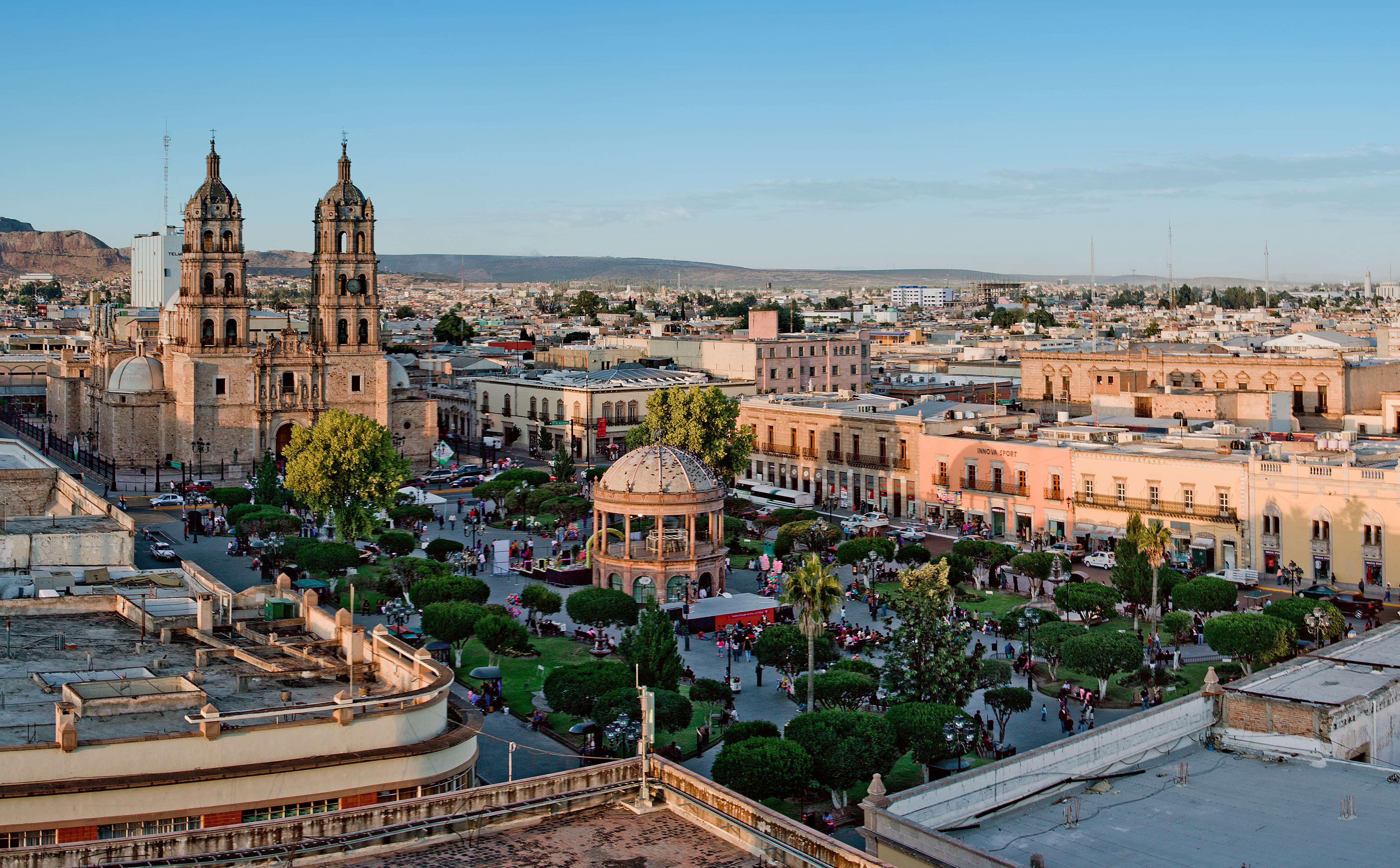


About Our Data
The data on this page is estimated using a number of publicly available tools and resources. It is provided without warranty, and could contain inaccuracies. Use at your own risk.