Categories in Chamela
Industries
Business Distribution by Industry in Chamela
| Industry Description | Number of Establishments |
|---|---|
| Restaurants | 38 |
| Hotels and motels | 28 |
| Other accommodation | 22 |
| Holiday homes, cabins and resorts | 8 |
| Shopping | 7 |
| Grocery stores and supermarkets | 7 |
| Education | 6 |
| Real estate | 5 |
Map of Chamela
Interactive Map
Price Distribution
Business distribution by price for Chamela
Recent Nearby Earthquakes
Magnitude 3.0 and greater
| Date▼ | Time↕ | Magnitude↕ | Distance↕ | Depth↕ | Location↕ | Link |
|---|---|---|---|---|---|---|
| 6/30/18 | 3:56 AM | 5.9 | 56.3 km | 15,000 m | 49km WSW of San Patricio, Mexico | usgs.gov |
| 6/7/16 | 10:32 AM | 4.1 | 62.3 km | 10,000 m | 30km SW of San Patricio, Mexico | usgs.gov |
| 10/15/15 | 12:48 AM | 4.5 | 39.2 km | 10,000 m | 65km W of San Patricio, Mexico | usgs.gov |
| 2/12/15 | 5:40 PM | 4 | 65.5 km | 36,420 m | 89km SSW of Tomatlan, Mexico | usgs.gov |
| 11/24/13 | 3:28 AM | 4.1 | 66.5 km | 22,500 m | 18km NNW of Tomatlan, Mexico | usgs.gov |
| 11/14/13 | 5:52 AM | 4.2 | 50.9 km | 15,000 m | 36km SW of Tomatlan, Mexico | usgs.gov |
| 5/5/13 | 2:52 AM | 4.4 | 56.3 km | 20,500 m | 14km E of Tomatlan, Mexico | usgs.gov |
| 5/4/13 | 11:12 AM | 4.2 | 30.2 km | 16,000 m | 46km W of San Patricio, Mexico | usgs.gov |
| 5/14/12 | 12:58 AM | 4 | 46.3 km | 43,600 m | Jalisco, Mexico | usgs.gov |
| 4/22/12 | 7:43 PM | 4 | 57.9 km | 5,500 m | Jalisco, Mexico | usgs.gov |
Source: U.S. Geological Survey (USGS)
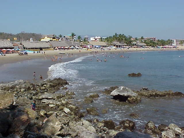
Chamela
Chamela is a small town in the state of Jalisco, on the west coast of Mexico. The town of Chamela sits on the south end of a bay called the Bahía de Chamela, or "Chamela Bay", on Federal Highway 200. San Mateo and Punta Pérula are the two other towns..
Chamela Wikipedia Page


About Our Data
The data on this page is estimated using a number of publicly available tools and resources. It is provided without warranty, and could contain inaccuracies. Use at your own risk.