Categories in Kuah
Industries
Business Distribution by Industry in Kuah
| Industry Description | Number of Establishments | Average Age of Business |
|---|---|---|
| Restaurants | 1,728 | 16 years |
| Other accommodation | 1,000 | 18 years |
| Hotels and motels | 508 | — |
| Shopping | 477 | — |
| Travel agencies | 413 | 26 years |
| Cafes | 344 | — |
| Grocery stores and supermarkets | 164 | — |
| Clothing stores | 159 | — |
| Hardware store | 144 | — |
Kuah Facts
| Area | 194.6 km² |
| Population | 99,041 |
| Male Population | 52,677 (53.2%) |
| Female Population | 46,364 (46.8%) |
| Population change (1975 to 2020) | +249.9% |
| Population change (2000 to 2020) | +50.0% |
| Median Age | 24.1 years (Male: 23.8, Female: 24.3) |
| Area Codes | 4, 4903, 4933, 4950 |
| Neighborhoods | Kuah, Pusat Bandar Kuah, Kelibang, Kampung Lubok Buaya, Taman Langkawi |
| Local Time | |
| Timezone | Malaysia Time |
| Lat & Lng | 6.32649, 99.84320 |
| Postal Codes | 07000, 07007, 07009 |
Map of Kuah
Interactive Map
Kuah Population
Years 1975 to 2020
| Data | 1975 | 1990 | 2000 | 2015 | 2020 |
|---|---|---|---|---|---|
| Population | 28,306 | 47,363 | 66,012 | 93,087 | 99,041 |
| Population Density | 145.4 / km² | 243.4 / km² | 339.2 / km² | 478.3 / km² | 508.9 / km² |
Kuah Population change from 2000 to 2015
Increase of 41% from year 2000 to 2015
| Location | Change since 1975 | Change since 1990 | Change since 2000 |
|---|---|---|---|
| Kuah | +228.9% | +96.5% | +41% |
| Kedah | +119.8% | +54.1% | +23.4% |
| Malaysia | +145.8% | +66.5% | +29.4% |
Kuah Median Age
Median Age: 24.1 years
| Location | Median Age | Median Age (Female) | Median Age (Male) |
|---|---|---|---|
| Kuah | 24.1 yrs | 24.3 yrs | 23.8 yrs |
| Kedah | 25.5 yrs | 26.1 yrs | 25.1 yrs |
| Malaysia | 25.7 yrs | 25.7 yrs | 25.8 yrs |
Kuah Population Density
Population Density: 509 / km²
| Location | Population | Area | Density |
|---|---|---|---|
| Kuah | 99,041 | 194.6 km² | 509 / km² |
| Kedah | 2 million | 9,465.1 km² | 216 / km² |
| Malaysia | 29.6 million | 329,840.2 km² | 89.7 / km² |
Kuah Historical and Projected Population
Estimated Population from 1710 to 2100
- JRC (European Commission's Joint Research Centre) work on the GHS built-up grid
- CIESIN (Center for International Earth Science Information Network)
- [Link] Klein Goldewijk, K., Beusen, A., Doelman, J., and Stehfest, E.: Anthropogenic land use estimates for the Holocene – HYDE 3.2, Earth Syst. Sci. Data, 9, 927–953, https://doi.org/10.5194/essd-9-927-2017, 2017.
Neighborhoods in Kuah
Percentage of businesses by neighborhood in Kuah
Area Codes
Percentage Area Codes used by businesses in Kuah
Price Distribution
Business distribution by price for Kuah
Human Development Index (HDI)
Statistic composite index of life expectancy, education, and per capita income.
Kuah CO2 Emissions
Carbon Dioxide (CO2) Emissions Per Capita in Tonnes Per Year
| Location | CO2 Emissions | CO2 Emissions Per Capita | CO2 Emissions Intensity |
|---|---|---|---|
| Kuah | 762,394 tn | 7.7 tn | 3,917.2 tons/km² |
| Kedah | 12,649,101 tn | 6.18 tn | 1,336.4 tons/km² |
| Malaysia | 198,593,412 tn | 6.71 tn | 602.1 tons/km² |
| 2013 CO2 emissions (tonnes/year) | 762,394 tn |
| 2013 CO2 emissions (tonnes/year) per capita | 7.7 tn |
| 2013 CO2 emissions intensity (tonnes/km²/year) | 3,917.2 tons/km² |
Natural Hazards Risk
Relative risk out of 10
| Hazard | Risk Level |
|---|---|
| Flood | High (8) |
* Risk, particularly concerning flood or landslide, may not be for the entire area.
- Dilley, M., R.S. Chen, U. Deichmann, A.L. Lerner-Lam, M. Arnold, J. Agwe, P. Buys, O. Kjekstad, B. Lyon, and G. Yetman. 2005. Natural Disaster Hotspots: A Global Risk Analysis. Washington, D.C.: World Bank. https://doi.org/10.1596/0-8213-5930-4.
- Center for Hazards and Risk Research - CHRR - Columbia University, Center for International Earth Science Information Network - CIESIN - Columbia University. 2005. Global Flood Hazard Frequency and Distribution. Palisades, NY: NASA Socioeconomic Data and Applications Center (SEDAC). https://doi.org/10.7927/H4668B3D.
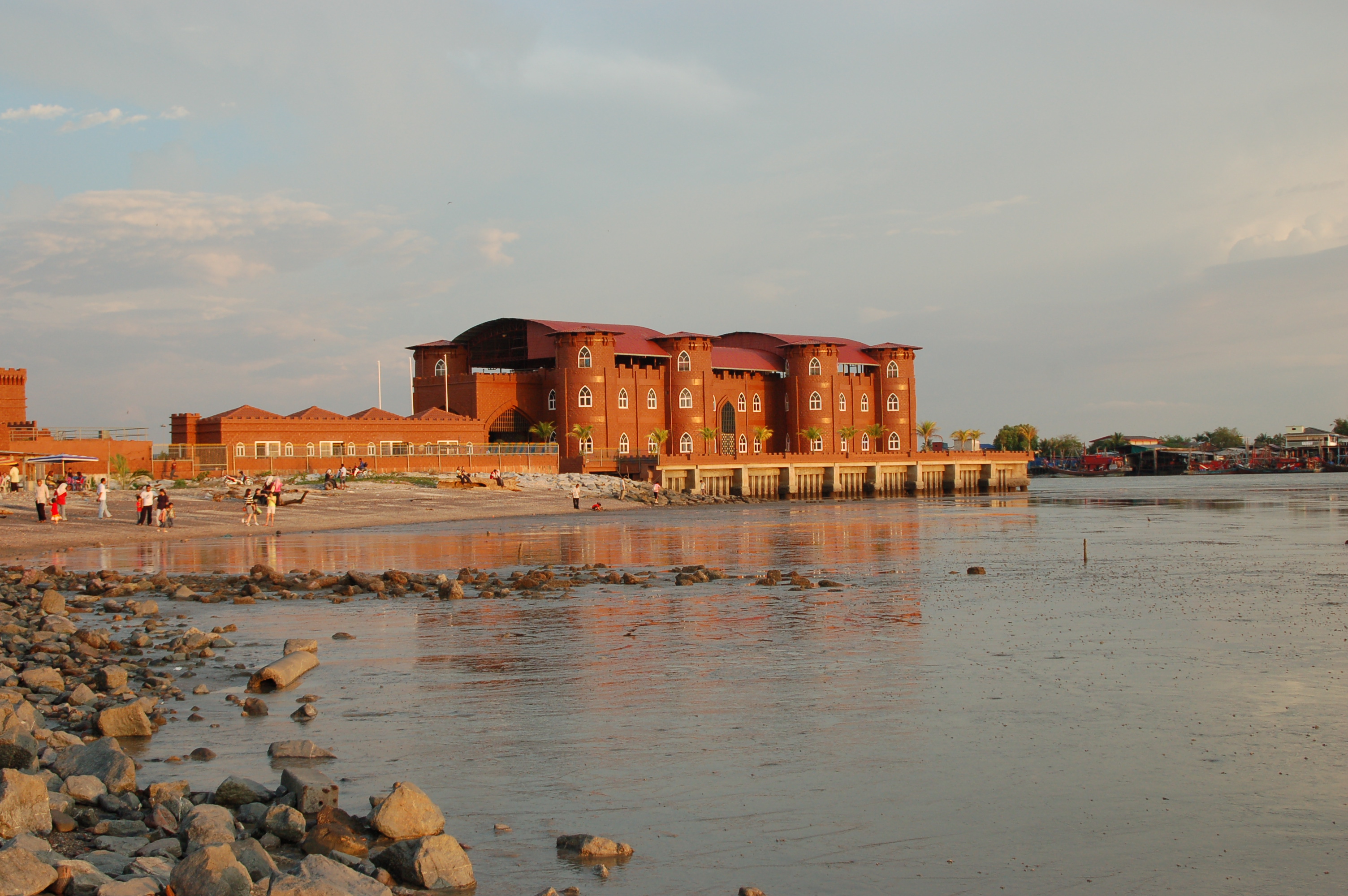
Kuah
Pekan Kuah is a town and district capital of Langkawi, Kedah, and is the entry point for those coming by ferry from either the mainland or Penang Island. The town is centered on its jetty, which brings in flocks of tourists each year who come to enjo..
Kuah Wikipedia Page


About Our Data
The data on this page is estimated using a number of publicly available tools and resources. It is provided without warranty, and could contain inaccuracies. Use at your own risk.