Categories in Rantau
Industries
Business Distribution by Industry in Rantau
| Industry Description | Number of Establishments |
|---|---|
| Restaurants | 75 |
| Education | 40 |
| Shopping | 37 |
| Religion | 34 |
| Car repair | 25 |
| Grocery stores and supermarkets | 23 |
| Hindu temple | 19 |
| Cemeteries and crematoriums | 19 |
| Tractors and farm equipment | 18 |
| Buses and trains | 17 |
| Other accommodation | 16 |
| Corporate management | 16 |
| Mosques | 14 |
| Cafes | 14 |
Rantau Facts
| Area | 47.1 km² |
| Population | 16,278 |
| Male Population | 8,376 (51.5%) |
| Female Population | 7,902 (48.5%) |
| Population change (1975 to 2020) | +333.2% |
| Population change (2000 to 2020) | +65.3% |
| Median Age | 26.8 years (Male: 26.4, Female: 27.3) |
| Area Codes | 6 |
| Neighborhoods | Kampung Rantau, Kampung Rantau Panjang, Kampung Baharu, Kampung Kuala Sawah Pasir, Kampung Tanjong |
| Local Time | |
| Timezone | Malaysia Time |
| Lat & Lng | 2.59020, 101.96290 |
| Postal Codes | 71010, 71100, 71109, 71200, 71209 |
Map of Rantau
Interactive Map
Rantau Population
Years 1975 to 2020
| Data | 1975 | 1990 | 2000 | 2015 | 2020 |
|---|---|---|---|---|---|
| Population | 3,758 | 6,910 | 9,846 | 15,076 | 16,278 |
| Population Density | 79.9 / km² | 146.8 / km² | 209.2 / km² | 320.3 / km² | 345.9 / km² |
Rantau Population change from 2000 to 2015
Increase of 53.1% from year 2000 to 2015
| Location | Change since 1975 | Change since 1990 | Change since 2000 |
|---|---|---|---|
| Rantau | +301.2% | +118.2% | +53.1% |
| Negeri Sembilan | +19.3% | -2.9% | +3% |
| Malaysia | +145.8% | +66.5% | +29.4% |
Rantau Median Age
Median Age: 26.8 years
| Location | Median Age | Median Age (Female) | Median Age (Male) |
|---|---|---|---|
| Rantau | 26.8 yrs | 27.3 yrs | 26.4 yrs |
| Malaysia | 25.7 yrs | 25.7 yrs | 25.8 yrs |
Rantau Population Density
Population Density: 346 / km²
| Location | Population | Area | Density |
|---|---|---|---|
| Rantau | 16,278 | 47.1 km² | 346 / km² |
| Negeri Sembilan | 68 | 3.118 km² | 21.8 / km² |
| Malaysia | 29.6 million | 329,840.2 km² | 89.7 / km² |
Rantau Historical and Projected Population
Estimated Population from 1700 to 2100
- JRC (European Commission's Joint Research Centre) work on the GHS built-up grid
- CIESIN (Center for International Earth Science Information Network)
- [Link] Klein Goldewijk, K., Beusen, A., Doelman, J., and Stehfest, E.: Anthropogenic land use estimates for the Holocene – HYDE 3.2, Earth Syst. Sci. Data, 9, 927–953, https://doi.org/10.5194/essd-9-927-2017, 2017.
Neighborhoods in Rantau
Percentage of businesses by neighborhood in Rantau
Area Codes
Percentage Area Codes used by businesses in Rantau
Postal Codes
Percentage of businesses by Postal Codes in Rantau
Price Distribution
Business distribution by price for Rantau
Human Development Index (HDI)
Statistic composite index of life expectancy, education, and per capita income.
Rantau CO2 Emissions
Carbon Dioxide (CO2) Emissions Per Capita in Tonnes Per Year
| Location | CO2 Emissions | CO2 Emissions Per Capita | CO2 Emissions Intensity |
|---|---|---|---|
| Rantau | 118,639 tn | 7.29 tn | 2,520.9 tons/km² |
| Negeri Sembilan | 496 tn | 7.3 tn | 159.2 tons/km² |
| Malaysia | 198,593,412 tn | 6.71 tn | 602.1 tons/km² |
| 2013 CO2 emissions (tonnes/year) | 118,639 tn |
| 2013 CO2 emissions (tonnes/year) per capita | 7.29 tn |
| 2013 CO2 emissions intensity (tonnes/km²/year) | 2,520.9 tons/km² |
Natural Hazards Risk
Relative risk out of 10
| Hazard | Risk Level |
|---|---|
| Flood | High (9) |
| Earthquake | Medium (4) |
* Risk, particularly concerning flood or landslide, may not be for the entire area.
- Dilley, M., R.S. Chen, U. Deichmann, A.L. Lerner-Lam, M. Arnold, J. Agwe, P. Buys, O. Kjekstad, B. Lyon, and G. Yetman. 2005. Natural Disaster Hotspots: A Global Risk Analysis. Washington, D.C.: World Bank. https://doi.org/10.1596/0-8213-5930-4.
- Center for Hazards and Risk Research - CHRR - Columbia University, Center for International Earth Science Information Network - CIESIN - Columbia University. 2005. Global Flood Hazard Frequency and Distribution. Palisades, NY: NASA Socioeconomic Data and Applications Center (SEDAC). https://doi.org/10.7927/H4668B3D.
- Center for Hazards and Risk Research - CHRR - Columbia University, Center for International Earth Science Information Network - CIESIN - Columbia University. 2005. Global Earthquake Hazard Distribution - Peak Ground Acceleration. Palisades, NY: NASA Socioeconomic Data and Applications Center (SEDAC). https://doi.org/10.7927/H4BZ63ZS.
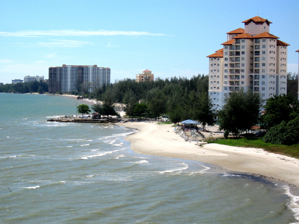
Rantau
Rantau is a small town in Negeri Sembilan, Malaysia. Located between the state capital Seremban and Port Dickson, Rantau is surrounded by many smaller towns such including Kuala Sawah, Siliau, Kg.Sega, Linsum, and Ayer Kuning, making it the main town..
Rantau Wikipedia Page


About Our Data
The data on this page is estimated using a number of publicly available tools and resources. It is provided without warranty, and could contain inaccuracies. Use at your own risk.