Categories in Semerah
Industries
Business Distribution by Industry in Semerah
| Industry Description | Number of Establishments |
|---|---|
| Restaurants | 87 |
| Shopping | 43 |
| Education | 40 |
| Other accommodation | 26 |
| Mosques | 21 |
| Grocery stores and supermarkets | 16 |
| Religion | 16 |
| Cafes | 14 |
| Clothing stores | 11 |
Semerah Facts
| Area | 37.1 km² |
| Population | 7,635 |
| Male Population | 3,782 (49.5%) |
| Female Population | 3,853 (50.5%) |
| Population change (1975 to 2020) | +132.6% |
| Population change (2000 to 2020) | +31.5% |
| Median Age | 28.2 years (Male: 28.1, Female: 28.3) |
| Area Codes | 7 |
| Neighborhoods | Semerah, Sungai Balang, Pekan Baharu, Kampung Lubok, Sarang Buaya |
| Local Time | |
| Timezone | Malaysia Time |
| Lat & Lng | 1.88450, 102.78320 |
| Postal Codes | 83600, 83610 |
Map of Semerah
Interactive Map
Semerah Population
Years 1975 to 2020
| Data | 1975 | 1990 | 2000 | 2015 | 2020 |
|---|---|---|---|---|---|
| Population | 3,283 | 4,750 | 5,807 | 7,087 | 7,635 |
| Population Density | 88.4 / km² | 127.9 / km² | 156.4 / km² | 190.9 / km² | 205.7 / km² |
Semerah Population change from 2000 to 2015
Increase of 22% from year 2000 to 2015
| Location | Change since 1975 | Change since 1990 | Change since 2000 |
|---|---|---|---|
| Semerah | +115.9% | +49.2% | +22% |
| Johor | +137.8% | +65.5% | +29.8% |
| Malaysia | +145.8% | +66.5% | +29.4% |
Semerah Median Age
Median Age: 28.2 years
| Location | Median Age | Median Age (Female) | Median Age (Male) |
|---|---|---|---|
| Semerah | 28.2 yrs | 28.3 yrs | 28.1 yrs |
| Johor | 26.6 yrs | 26.5 yrs | 26.6 yrs |
| Malaysia | 25.7 yrs | 25.7 yrs | 25.8 yrs |
Semerah Population Density
Population Density: 206 / km²
| Location | Population | Area | Density |
|---|---|---|---|
| Semerah | 7,635 | 37.1 km² | 206 / km² |
| Johor | 3.5 million | 18,988.3 km² | 182 / km² |
| Malaysia | 29.6 million | 329,840.2 km² | 89.7 / km² |
Semerah Historical and Projected Population
Estimated Population from 1100 to 2100
- JRC (European Commission's Joint Research Centre) work on the GHS built-up grid
- CIESIN (Center for International Earth Science Information Network)
- [Link] Klein Goldewijk, K., Beusen, A., Doelman, J., and Stehfest, E.: Anthropogenic land use estimates for the Holocene – HYDE 3.2, Earth Syst. Sci. Data, 9, 927–953, https://doi.org/10.5194/essd-9-927-2017, 2017.
Neighborhoods in Semerah
Percentage of businesses by neighborhood in Semerah
Area Codes
Percentage Area Codes used by businesses in Semerah
Postal Codes
Percentage of businesses by Postal Codes in Semerah
Price Distribution
Business distribution by price for Semerah
Human Development Index (HDI)
Statistic composite index of life expectancy, education, and per capita income.
Semerah CO2 Emissions
Carbon Dioxide (CO2) Emissions Per Capita in Tonnes Per Year
| Location | CO2 Emissions | CO2 Emissions Per Capita | CO2 Emissions Intensity |
|---|---|---|---|
| Semerah | 56,376 tn | 7.38 tn | 1,518.5 tons/km² |
| Johor | 25,270,859 tn | 7.3 tn | 1,330.9 tons/km² |
| Malaysia | 198,593,412 tn | 6.71 tn | 602.1 tons/km² |
| 2013 CO2 emissions (tonnes/year) | 56,376 tn |
| 2013 CO2 emissions (tonnes/year) per capita | 7.38 tn |
| 2013 CO2 emissions intensity (tonnes/km²/year) | 1,518.5 tons/km² |
Natural Hazards Risk
Relative risk out of 10
| Hazard | Risk Level |
|---|---|
| Flood | High (10) |
| Earthquake | Medium (4) |
* Risk, particularly concerning flood or landslide, may not be for the entire area.
- Dilley, M., R.S. Chen, U. Deichmann, A.L. Lerner-Lam, M. Arnold, J. Agwe, P. Buys, O. Kjekstad, B. Lyon, and G. Yetman. 2005. Natural Disaster Hotspots: A Global Risk Analysis. Washington, D.C.: World Bank. https://doi.org/10.1596/0-8213-5930-4.
- Center for Hazards and Risk Research - CHRR - Columbia University, Center for International Earth Science Information Network - CIESIN - Columbia University. 2005. Global Flood Hazard Frequency and Distribution. Palisades, NY: NASA Socioeconomic Data and Applications Center (SEDAC). https://doi.org/10.7927/H4668B3D.
- Center for Hazards and Risk Research - CHRR - Columbia University, Center for International Earth Science Information Network - CIESIN - Columbia University. 2005. Global Earthquake Hazard Distribution - Peak Ground Acceleration. Palisades, NY: NASA Socioeconomic Data and Applications Center (SEDAC). https://doi.org/10.7927/H4BZ63ZS.
Recent Nearby Earthquakes
Magnitude 3.0 and greater
| Date▼ | Time↕ | Magnitude↕ | Distance↕ | Depth↕ | Location↕ | Link |
|---|---|---|---|---|---|---|
| 5/25/08 | 8:58 PM | 3.8 | 65.2 km | 35,000 m | northern Sumatra, Indonesia | usgs.gov |
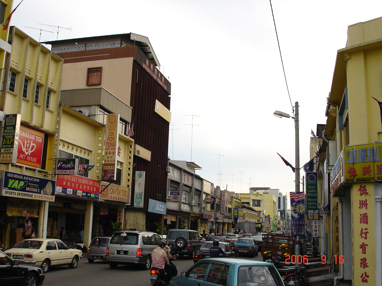
Semerah
Semerah(圣模那)is a small town in Johor, Malaysia. It is the border town between Batu Pahat and Muar district. small town is basically a main street with old shop houses and a road to Semerah wet market (Pasar Semerah). They are mainly of wooden struct..
Semerah Wikipedia Page

About Our Data
The data on this page is estimated using a number of publicly available tools and resources. It is provided without warranty, and could contain inaccuracies. Use at your own risk.