Kalkrand Facts
| Area Codes | 63 |
| Local Time | |
| Timezone | Central Africa Time |
| Lat & Lng | -24.06667, 17.58333 |
Map of Kalkrand
Interactive Map
Recent Nearby Earthquakes
Magnitude 3.0 and greater
| Date▼ | Time↕ | Magnitude↕ | Distance↕ | Depth↕ | Location↕ | Link |
|---|---|---|---|---|---|---|
| 5/7/93 | 1:23 PM | 3.7 | 56.1 km | 10,000 m | Namibia | usgs.gov |
| 12/23/92 | 10:54 AM | 5 | 38.9 km | 10,000 m | Namibia | usgs.gov |
Source: U.S. Geological Survey (USGS)
Kalkrand
Kalkrand is a village in the Hardap Region of southern central Namibia. It is situated between Rehoboth and Mariental on the national road B1. The village features a petrol station, schools, a police station and a public clinic. The inhabitants mainl..
Kalkrand Wikipedia Page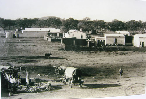

About Our Data
The data on this page is estimated using a number of publicly available tools and resources. It is provided without warranty, and could contain inaccuracies. Use at your own risk.