Rietoog Facts
| Area Codes | 62 |
| Local Time | |
| Timezone | Central Africa Time |
| Lat & Lng | -23.96667, 16.55000 |
Map of Rietoog
Interactive Map
Recent Nearby Earthquakes
Magnitude 3.0 and greater
| Date▼ | Time↕ | Magnitude↕ | Distance↕ | Depth↕ | Location↕ | Link |
|---|---|---|---|---|---|---|
| 5/24/10 | 11:00 AM | 4.1 | 88.2 km | 10,000 m | Namibia | usgs.gov |
| 5/7/93 | 1:23 PM | 3.7 | 89.9 km | 10,000 m | Namibia | usgs.gov |
| 12/23/92 | 10:54 AM | 5 | 90.7 km | 10,000 m | Namibia | usgs.gov |
Source: U.S. Geological Survey (USGS)
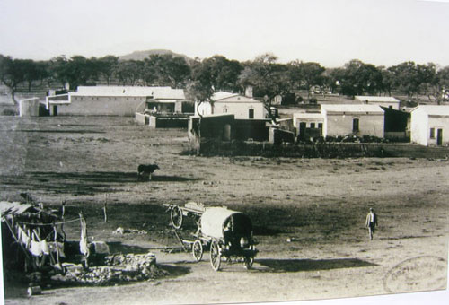
Rietoog
Rietoog is a settlement in the Hardap Region of Namibia. It is 112 kilometres by road southwest of Rehoboth and 130 kilometres north of Maltahohe along the M47 gravel road. The name Rietoog means Cane-eye, named that because of a spring that looks li..
Rietoog Wikipedia Page
About Our Data
The data on this page is estimated using a number of publicly available tools and resources. It is provided without warranty, and could contain inaccuracies. Use at your own risk.