Industries
Business Distribution by Industry in Siggerud
| Industry Description | Number of Establishments |
|---|---|
| Construction of buildings | 8 |
| Advertising and marketing | 7 |
| Other transport activities | 7 |
| Wholesale of machinery | 6 |
| Electronics stores | 6 |
| Kitchen and bath cabinets and remodel | 5 |
| Education | 5 |
Siggerud Facts
| Area | 0.9 km² |
| Population | 1,050 |
| Male Population | 524 (49.9%) |
| Female Population | 526 (50.1%) |
| Population change (1975 to 2020) | -4.9% |
| Population change (2000 to 2020) | +13.5% |
| Median Age | 38.5 years (Male: 37.8, Female: 39.3) |
| Neighborhoods | Marka, Frogner, Sentrum, Sankt Hanshaugen |
| Local Time | |
| Timezone | Central European Summer Time |
| Lat & Lng | 60.58333, 11.88333 |
Map of Siggerud
Interactive Map
Siggerud Population
Years 1975 to 2020
| Data | 1975 | 1990 | 2000 | 2015 | 2020 |
|---|---|---|---|---|---|
| Population | 1,104 | 1,011 | 925 | 986 | 1,050 |
| Population Density | 1,177.6 / km² | 1,078.4 / km² | 986.7 / km² | 1,051.7 / km² | 1,120 / km² |
Siggerud Population change from 2000 to 2015
Increase of 6.6% from year 2000 to 2015
| Location | Change since 1975 | Change since 1990 | Change since 2000 |
|---|---|---|---|
| Siggerud | -10.7% | -2.5% | +6.6% |
| Hedmark | -0.5% | +3.1% | +4.2% |
| Norway | +30.2% | +23.2% | +16.4% |
Siggerud Median Age
Median Age: 38.5 years
| Location | Median Age | Median Age (Female) | Median Age (Male) |
|---|---|---|---|
| Siggerud | 38.5 yrs | 39.3 yrs | 37.8 yrs |
| Hedmark | 43 yrs | 44.1 yrs | 41.8 yrs |
| Norway | 38.8 yrs | 39.6 yrs | 38 yrs |
Siggerud Population Density
Population Density: 1,120 / km²
| Location | Population | Area | Density |
|---|---|---|---|
| Siggerud | 1,050 | 0.938 km² | 1,120 / km² |
| Hedmark | 196,387 | 27,409.6 km² | 7.2 / km² |
| Norway | 4.9 million | 322,754.2 km² | 15.2 / km² |
Siggerud Historical and Projected Population
Estimated Population from 1200 to 2100
- JRC (European Commission's Joint Research Centre) work on the GHS built-up grid
- CIESIN (Center for International Earth Science Information Network)
- [Link] Klein Goldewijk, K., Beusen, A., Doelman, J., and Stehfest, E.: Anthropogenic land use estimates for the Holocene – HYDE 3.2, Earth Syst. Sci. Data, 9, 927–953, https://doi.org/10.5194/essd-9-927-2017, 2017.
Area Codes
Percentage Area Codes used by businesses in Siggerud
Human Development Index (HDI)
Statistic composite index of life expectancy, education, and per capita income.
Siggerud CO2 Emissions
Carbon Dioxide (CO2) Emissions Per Capita in Tonnes Per Year
| Location | CO2 Emissions | CO2 Emissions Per Capita | CO2 Emissions Intensity |
|---|---|---|---|
| Siggerud | 20,772 tn | 19.78 tn | 22,156.4 tons/km² |
| Hedmark | 3,538,521 tn | 18.02 tn | 129.1 tons/km² |
| Norway | 86,855,170 tn | 17.74 tn | 269.1 tons/km² |
| 2013 CO2 emissions (tonnes/year) | 20,772 tn |
| 2013 CO2 emissions (tonnes/year) per capita | 19.78 tn |
| 2013 CO2 emissions intensity (tonnes/km²/year) | 22,156.4 tons/km² |
Recent Nearby Earthquakes
Magnitude 3.0 and greater
| Date▼ | Time↕ | Magnitude↕ | Distance↕ | Depth↕ | Location↕ | Link |
|---|---|---|---|---|---|---|
| 4/7/04 | 8:53 AM | 3.4 | 22.8 km | 22,900 m | southern Norway | usgs.gov |
| 11/19/94 | 9:07 AM | 3.5 | 62.9 km | 10,000 m | southern Norway | usgs.gov |
| 11/27/93 | 6:57 PM | 3.1 | 32.9 km | 10,000 m | southern Norway | usgs.gov |
| 11/12/93 | 7:54 PM | 3.4 | 97.2 km | 10,000 m | Sweden | usgs.gov |
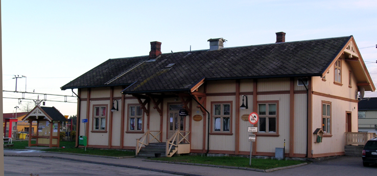
Siggerud
Siggerud is a village in the municipality of Ski, Norway, just a few kilometres away from the border of the municipality of Oslo where most of Siggerud's population work. Its population (2005) is 1,353, but probably over 2000 if you count the area ar..
Siggerud Wikipedia Page

About Our Data
The data on this page is estimated using a number of publicly available tools and resources. It is provided without warranty, and could contain inaccuracies. Use at your own risk.