Godeta Facts
| Local Time | |
| Timezone | Nepal Time |
| Lat & Lng | 26.86188, 85.46571 |
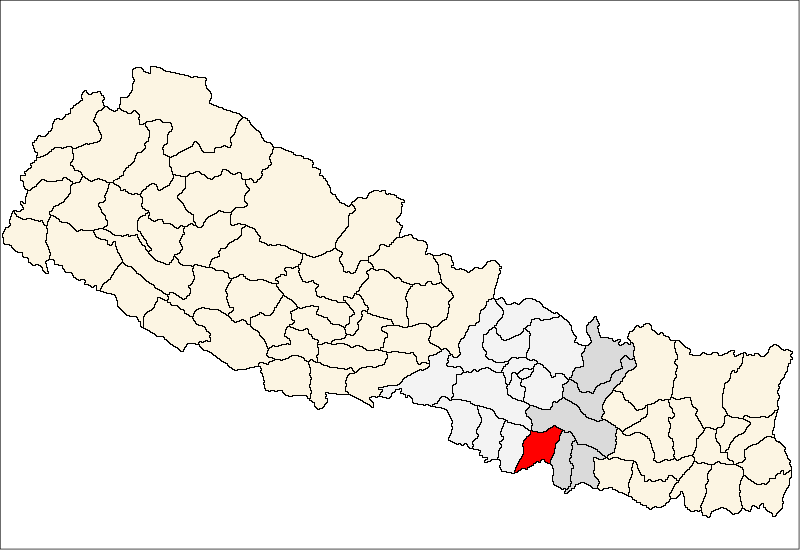
Map of Godeta
Interactive Map
Recent Nearby Earthquakes
Magnitude 3.0 and greater
| Date▼ | Time↕ | Magnitude↕ | Distance↕ | Depth↕ | Location↕ | Link |
|---|---|---|---|---|---|---|
| 7/2/17 | 1:58 AM | 4.8 | 76.8 km | 10,000 m | 10km SSE of Ramechhap, Nepal | usgs.gov |
| 2/27/17 | 4:21 AM | 4.6 | 72.9 km | 20,280 m | 16km WNW of Ramechhap, Nepal | usgs.gov |
| 2/27/17 | 3:37 AM | 4.7 | 87.2 km | 11,230 m | 11km N of Ramechhap, Nepal | usgs.gov |
| 4/9/16 | 1:20 PM | 4.1 | 87.3 km | 10,220 m | 4km SSW of Patan, Nepal | usgs.gov |
| 4/4/16 | 4:31 AM | 4.2 | 83.5 km | 23,690 m | 32km E of Panaoti, Nepal | usgs.gov |
| 3/14/16 | 9:27 PM | 4.3 | 95.7 km | 27,090 m | 1km NE of Nagarkot, Nepal | usgs.gov |
| 2/10/16 | 4:27 PM | 4.1 | 95.6 km | 21,150 m | 10km E of Nagarkot, Nepal | usgs.gov |
| 8/30/15 | 1:17 PM | 4.5 | 89.8 km | 10,000 m | 14km E of Banepa, Nepal | usgs.gov |
| 8/14/15 | 1:02 PM | 4.6 | 99.6 km | 10,000 m | 26km N of Ramechhap, Nepal | usgs.gov |
| 8/11/15 | 4:57 AM | 3.7 | 90 km | 2,640 m | 2km SE of Patan, Nepal | usgs.gov |
Source: U.S. Geological Survey (USGS)
Godeta
Godaita is a village development committee in Sarlahi District in the Janakpur Zone of south-eastern Nepal. At the time of the 1991 Nepal census it had a population of 4200 people living in 733 individual households.
Godeta Wikipedia Page
About Our Data
The data on this page is estimated using a number of publicly available tools and resources. It is provided without warranty, and could contain inaccuracies. Use at your own risk.