Categories in Sunwal
Auto Parts StoreGas StationClothes and Fabric ManufacturerFarmingWholesalersClothing storesShoe storesMobile phone storesCommunity CenterGovernment OfficeHindu templeReligionVillage HallElectronics StoreMobile Phone Repair ShopConstruction of buildingsConstruction of housesHardware storeHome Goods StoreHousing DevelopmentPaint StoreCollegeEducationEducation CenterPhotography StudioBakeriesBars, pubs and tavernsButcherCoffee ShopFast food restaurantsGrocery stores and supermarketsIce Cream ShopMilk Delivery ServiceRestaurantsFurniture storesHouse SitterNurseries and garden suppliesTailorBanksHospitalsBeauty salonsApartment BuildingApartment ComplexHousing ComplexBook stores and newsstandsGeneral StoreMarketPharmacyShoppingShopping Mall
Showing 1-50 of 61
Industries
Business Distribution by Industry in Sunwal
| Industry Description | Number of Establishments |
|---|---|
| Shopping | 55 |
| Education | 47 |
| Restaurants | 45 |
| Shopping other | 33 |
| Hardware store | 29 |
| Clothing stores | 27 |
| Apartments | 26 |
| Hindu temple | 25 |
| Electronics stores | 24 |
| Public administration | 22 |
| Grocery stores and supermarkets | 22 |
| Travel and transportation | 20 |
Sunwal Facts
| Neighborhoods | Ramapur, Kalika Tol |
| Local Time | |
| Timezone | Nepal Time |
| Lat & Lng | 27.60603, 83.64395 |
Map of Sunwal
Interactive Map
Postal Codes
Percentage of businesses by Postal Codes in Sunwal
Recent Nearby Earthquakes
Magnitude 3.0 and greater
| Date▼ | Time↕ | Magnitude↕ | Distance↕ | Depth↕ | Location↕ | Link |
|---|---|---|---|---|---|---|
| 6/13/16 | 11:27 PM | 4.1 | 91.2 km | 10,000 m | 28km NNE of Bharatpur, Nepal | usgs.gov |
| 5/16/15 | 12:46 AM | 4.1 | 97 km | 10,000 m | 27km SE of Lamjung, Nepal | usgs.gov |
| 5/3/15 | 2:15 AM | 4 | 96 km | 10,000 m | 18km ENE of Bharatpur, Nepal | usgs.gov |
| 5/1/15 | 6:47 PM | 4.1 | 98.5 km | 10,000 m | 20km ENE of Bharatpur, Nepal | usgs.gov |
| 4/29/15 | 9:39 AM | 4.2 | 92.1 km | 10,000 m | 14km ENE of Bharatpur, Nepal | usgs.gov |
| 4/25/15 | 8:07 PM | 4.4 | 96.3 km | 10,000 m | 30km SSE of Lamjung, Nepal | usgs.gov |
| 1/31/15 | 1:59 PM | 4.8 | 83.3 km | 32,409 m | 3km N of Pokhara, Nepal | usgs.gov |
| 6/9/12 | 7:54 AM | 4.8 | 99.9 km | 20,100 m | Nepal | usgs.gov |
| 12/22/08 | 9:19 PM | 3.5 | 85.8 km | 10,000 m | Nepal | usgs.gov |
| 5/20/08 | 7:10 PM | 3.7 | 34.8 km | 10,000 m | Nepal-India border region | usgs.gov |
Source: U.S. Geological Survey (USGS)
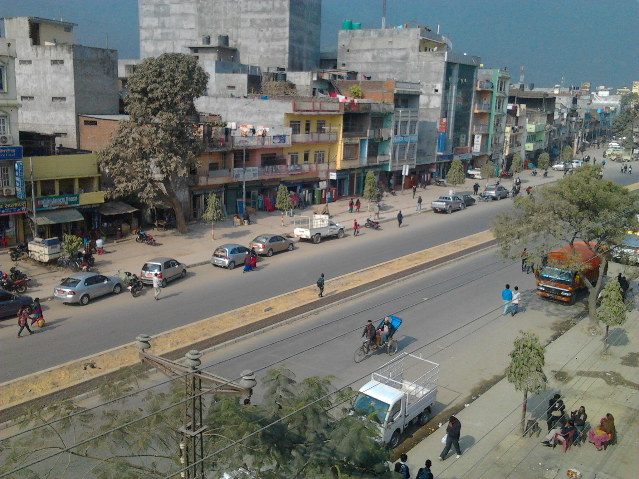
Sunwal
Sunwal (Nepali: सुनवल) is a municipality in Nawalparasi District. It lies in Western Development Region, Lumbini Zone. It was announced as a municipality on 2011 combining two neighboring Village Development Committees; Sunwal and Swathi; of the dist..
Sunwal Wikipedia Page

About Our Data
The data on this page is estimated using a number of publicly available tools and resources. It is provided without warranty, and could contain inaccuracies. Use at your own risk.