Categories in Bhimber
Gas StationMotorcycle repairDairy FarmWholesalersClothing storesShoe storesMobile phone storesTelecommunications Service ProviderGovernment OfficeMosquesNon-Profit OrganizationReligionElectronics StoreMobile Phone Repair ShopBuilding Materials StoreConstruction of buildingsHardware storeHome Goods StoreCollegeEducationEducational InstitutionEducation CenterHigh SchoolPrimary SchoolPhotography StudioBakeriesFast food restaurantsGrocery stores and supermarketsRestaurantsAtm'sBanksHospitalsMedical clinicBeauty salonsHair SalonApartment BuildingBanquet HallBook stores and newsstandsCosmetics StoreGeneral StoreGift ShopPharmacyShoppingShopping MallSupermarketPlaygroundHousing SocietyTravel AgencyUnreachable
Industries
Business Distribution by Industry in Bhimber
| Industry Description | Number of Establishments |
|---|---|
| Education | 46 |
| Mosques | 38 |
| Shopping | 37 |
| Shopping other | 27 |
| Restaurants | 24 |
| Electronics stores | 23 |
| Clothing stores | 19 |
| Public administration | 18 |
| Hospitals | 17 |
| Grocery stores and supermarkets | 16 |
| Travel agencies | 16 |
| Religion | 13 |
| Hardware store | 13 |
| Wholesale of construction supplies | 12 |
Bhimber Facts
| Neighborhoods | Bhimber Rajani |
| Local Time | |
| Timezone | Pakistan Standard Time |
| Lat & Lng | 32.97568, 74.07926 |
| Postal Codes | 10040 |
Map of Bhimber
Interactive Map
Area Codes
Percentage Area Codes used by businesses in Bhimber
Recent Nearby Earthquakes
Magnitude 3.0 and greater
| Date▼ | Time↕ | Magnitude↕ | Distance↕ | Depth↕ | Location↕ | Link |
|---|---|---|---|---|---|---|
| 4/10/18 | 11:47 AM | 3.6 | 80.5 km | 32,940 m | 14km SSE of Kahuta, Pakistan | usgs.gov |
| 7/24/15 | 9:30 PM | 4.6 | 81.2 km | 39,110 m | 5km N of Gujar Khan, Pakistan | usgs.gov |
| 4/19/14 | 8:12 PM | 4 | 65.6 km | 45,530 m | 25km NNW of Mandi Bahauddin, Pakistan | usgs.gov |
| 3/26/14 | 7:52 PM | 4 | 66.2 km | 5,320 m | 2km SSW of Nazir Town, Pakistan | usgs.gov |
| 12/4/13 | 10:58 AM | 4.2 | 35.8 km | 29,390 m | 4km SW of New Mirpur, Pakistan | usgs.gov |
| 4/4/13 | 5:39 PM | 4.5 | 90.9 km | 13,700 m | Pakistan | usgs.gov |
| 4/26/08 | 5:31 PM | 3.7 | 90.7 km | 10,000 m | Pakistan | usgs.gov |
| 10/19/07 | 8:45 PM | 3.8 | 68.8 km | 35,000 m | Pakistan | usgs.gov |
| 8/29/07 | 4:27 AM | 4 | 78.3 km | 53,000 m | Pakistan | usgs.gov |
| 2/9/07 | 4:37 AM | 3.5 | 36.3 km | 32,400 m | Pakistan | usgs.gov |
Source: U.S. Geological Survey (USGS)
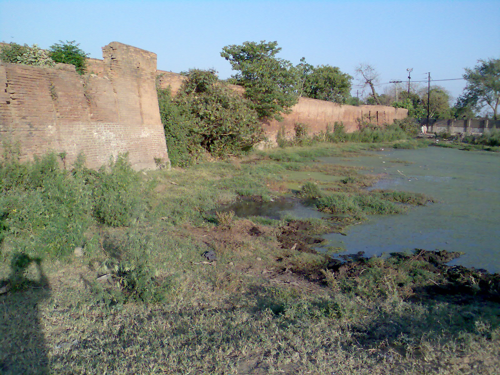
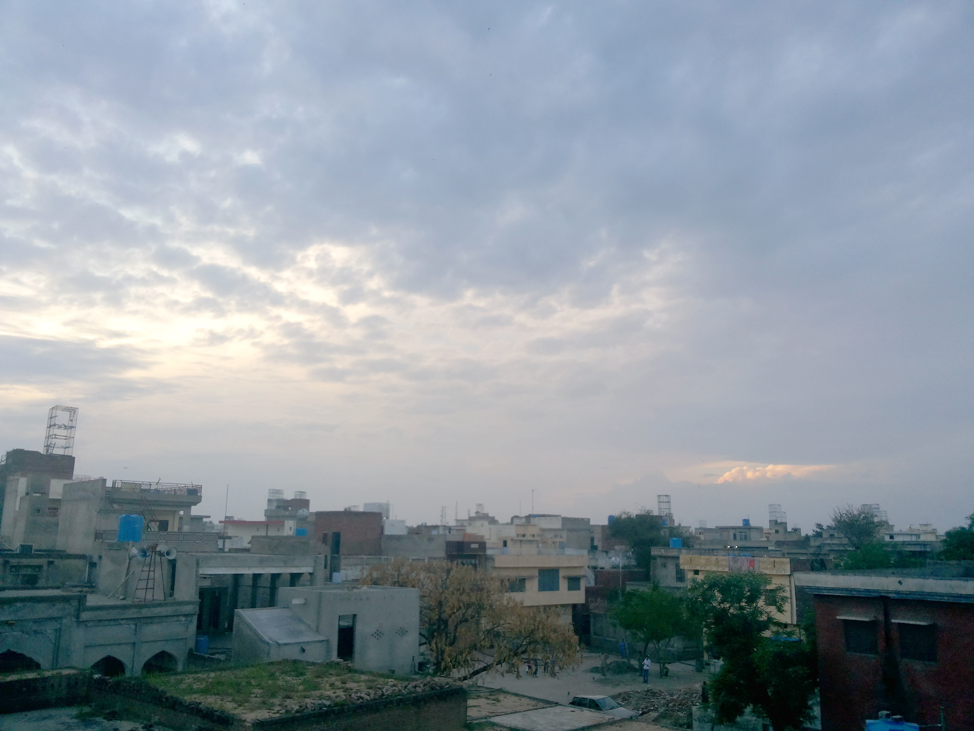
Bhimber
Bhimber (Urdu: بھمبر) is the chief town of Bhimber District, Azad Kashmir. The town is situated on the border between Azad Kashmir and Pakistan at a distance of about 50 km (31 mi) from Mirpur, about 48 kilometres (30 mi) from Gujrat, about 37 kilom..
Bhimber Wikipedia Page

About Our Data
The data on this page is estimated using a number of publicly available tools and resources. It is provided without warranty, and could contain inaccuracies. Use at your own risk.