Categories in Dinga
Auto Parts StoreCar rentalCar repairCar Repair and MaintenanceElectric Motor Repair ShopGas StationMechanicMotorcycle Parts StoreMotorcycle repairNew car dealersTire ShopAgricultural wholesaleDairy FarmElectronics WholesalerFarmingFurniture ManufacturerGarment ExporterWholesalersClothing storesJewelers and watchesShoe storesWomen's clothingMobile phone storesTelecommunications Service ProviderGovernment OfficeMosquesReligionShrineCell phone accessory storeElectronics StoreMobile Phone Repair ShopBuilding Materials StoreConstruction of buildingsConstruction of housesHardware storeHome Goods StorePaint StoreTile StoreCollegeEducationEducational InstitutionEducation CenterPrimary SchoolGraphic DesignerMovie StudioPhotographerPhotography StudioWebsite DesignerBakeriesCafes
Showing 1-50 of 89
Industries
Business Distribution by Industry in Dinga
| Industry Description | Number of Establishments |
|---|---|
| Shopping | 129 |
| Clothing stores | 59 |
| Electronics stores | 54 |
| Education | 39 |
| Grocery stores and supermarkets | 36 |
| Mosques | 34 |
| Restaurants | 32 |
| Shopping other | 30 |
| Religion | 28 |
| Hospitals | 27 |
| Hardware store | 26 |
Dinga Facts
| Neighborhoods | Mohalla Shah Takia, Mohalla Shah Sawar, Mohalla Mashraqi (East), Mohalla Paswallan Dinga, Madina Colony |
| Local Time | |
| Timezone | Pakistan Standard Time |
| Lat & Lng | 32.63976, 73.72201 |
Map of Dinga
Interactive Map
Neighborhoods in Dinga
Percentage of businesses by neighborhood in Dinga
Area Codes
Percentage Area Codes used by businesses in Dinga
Recent Nearby Earthquakes
Magnitude 3.0 and greater
| Date▼ | Time↕ | Magnitude↕ | Distance↕ | Depth↕ | Location↕ | Link |
|---|---|---|---|---|---|---|
| 4/10/18 | 11:47 AM | 3.6 | 96.1 km | 32,940 m | 14km SSE of Kahuta, Pakistan | usgs.gov |
| 7/24/15 | 9:30 PM | 4.6 | 83.4 km | 39,110 m | 5km N of Gujar Khan, Pakistan | usgs.gov |
| 4/19/14 | 8:12 PM | 4 | 34.6 km | 45,530 m | 25km NNW of Mandi Bahauddin, Pakistan | usgs.gov |
| 3/26/14 | 7:52 PM | 4 | 75.3 km | 5,320 m | 2km SSW of Nazir Town, Pakistan | usgs.gov |
| 12/4/13 | 10:58 AM | 4.2 | 52.8 km | 29,390 m | 4km SW of New Mirpur, Pakistan | usgs.gov |
| 4/4/13 | 5:39 PM | 4.5 | 58.1 km | 13,700 m | Pakistan | usgs.gov |
| 4/26/08 | 5:31 PM | 3.7 | 45.2 km | 10,000 m | Pakistan | usgs.gov |
| 10/19/07 | 8:45 PM | 3.8 | 80.6 km | 35,000 m | Pakistan | usgs.gov |
| 2/9/07 | 4:37 AM | 3.5 | 26.6 km | 32,400 m | Pakistan | usgs.gov |
| 1/20/07 | 7:10 PM | 3.6 | 70 km | 60,800 m | Pakistan | usgs.gov |
Source: U.S. Geological Survey (USGS)
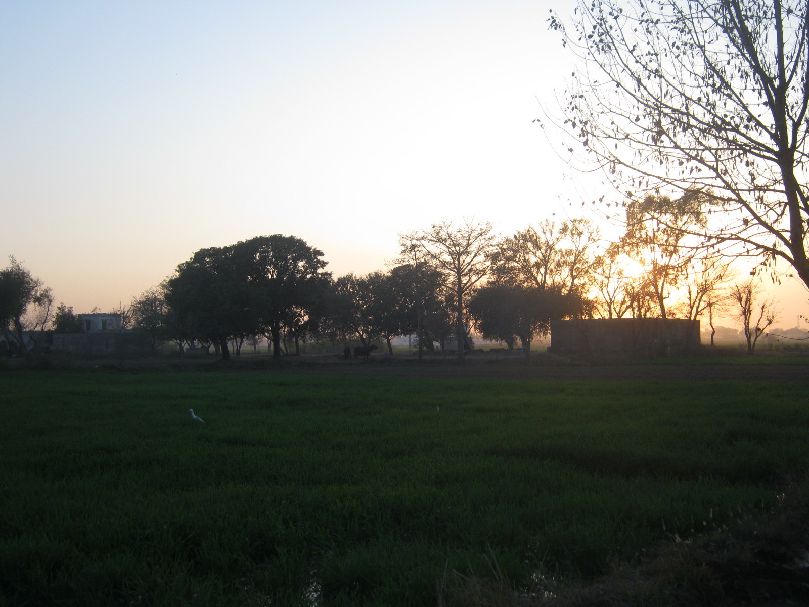
Dinga
Dinga is a city of Gujrat District in the Punjab province of Pakistan. It lies between the rivers Jhelum and Chenab. The main highway that runs from Lahore to Rawalpindi is about 27 km northeast of Dinga. Dinga is about 100 km from the border that se..
Dinga Wikipedia Page

About Our Data
The data on this page is estimated using a number of publicly available tools and resources. It is provided without warranty, and could contain inaccuracies. Use at your own risk.