Categories in Mochowo
Mochowo Facts
| Area Codes | 24 |
| Neighborhoods | Mochowo |
| Local Time | |
| Timezone | Central European Summer Time |
| Lat & Lng | 52.76570, 19.55592 |
Map of Mochowo
Interactive Map
Recent Nearby Earthquakes
Magnitude 3.0 and greater
| Date▼ | Time↕ | Magnitude↕ | Distance↕ | Depth↕ | Location↕ | Link |
|---|---|---|---|---|---|---|
| 11/6/88 | 11:11 AM | 3.7 | 81.1 km | 10,000 m | Poland | usgs.gov |
| 2/22/88 | 10:42 PM | 3 | 93.8 km | 10,000 m | Poland | usgs.gov |
| 1/21/85 | 6:44 PM | 3.4 | 69.2 km | 10,000 m | Poland | usgs.gov |
Source: U.S. Geological Survey (USGS)
Mochowo
Mochowo [mɔˈxɔvɔ] is a village in Sierpc County, Masovian Voivodeship, in east-central Poland. It is the seat of the gmina (administrative district) called Gmina Mochowo. It lies approximately 15 kilometres (9 mi) south-west of Sierpc and 115 km (71 ..
Mochowo Wikipedia Page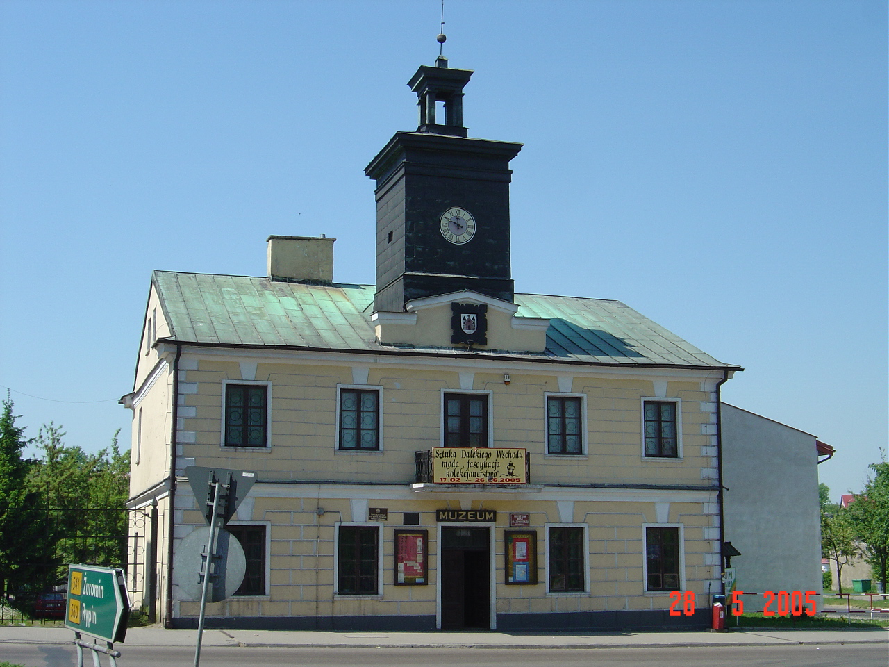
About Our Data
The data on this page is estimated using a number of publicly available tools and resources. It is provided without warranty, and could contain inaccuracies. Use at your own risk.