Categories in Urziceni
Industries
Business Distribution by Industry in Urziceni
| Industry Description | Number of Establishments |
|---|---|
| Shopping | 75 |
| Grocery stores and supermarkets | 66 |
| Real estate | 34 |
| Restaurants | 22 |
| Clothing stores | 19 |
| Electronics stores | 18 |
| Pharmacies and drug stores | 17 |
| All food and beverage | 17 |
| Car repair | 16 |
| Wholesale store | 14 |
| Hardware store | 13 |
| Freight/commercial transport | 12 |
| Education | 11 |
| Electrical installation | 11 |
Urziceni Facts
| Area | 5.1 km² |
| Population | 11,372 |
| Male Population | 5,440 (47.8%) |
| Female Population | 5,932 (52.2%) |
| Population change (1975 to 2020) | -22.2% |
| Population change (2000 to 2020) | -24.2% |
| Median Age | 42.1 years (Male: 40.8, Female: 43.3) |
| Neighborhoods | Cartieru Peste Linie, Cartier Poşta, Cartierul Peste Linie, Domenii, Titan |
| Local Time | |
| Timezone | Eastern European Summer Time |
| Lat & Lng | 44.71667, 26.63333 |
| Postal Codes | 925300 |
Map of Urziceni
Interactive Map
Urziceni Population
Years 1975 to 2020
| Data | 1975 | 1990 | 2000 | 2015 | 2020 |
|---|---|---|---|---|---|
| Population | 14,612 | 16,256 | 14,999 | 11,551 | 11,372 |
| Population Density | 2,886.3 / km² | 3,211.1 / km² | 2,962.8 / km² | 2,281.7 / km² | 2,246.3 / km² |
Urziceni Population change from 2000 to 2015
Decrease of 23% from year 2000 to 2015
| Location | Change since 1975 | Change since 1990 | Change since 2000 |
|---|---|---|---|
| Urziceni | -20.9% | -28.9% | -23% |
| Ialomița County | -16.9% | -24% | -19.5% |
| Romania | -9.9% | -16.9% | -11.8% |
Urziceni Median Age
Median Age: 42.1 years
| Location | Median Age | Median Age (Female) | Median Age (Male) |
|---|---|---|---|
| Urziceni | 42.1 yrs | 43.3 yrs | 40.8 yrs |
| Ialomița County | 40.6 yrs | 42 yrs | 39.1 yrs |
| Romania | 40.1 yrs | 41.6 yrs | 38.5 yrs |
Urziceni Population Density
Population Density: 2,246 / km²
| Location | Population | Area | Density |
|---|---|---|---|
| Urziceni | 11,372 | 5.1 km² | 2,246 / km² |
| Ialomița County | 247,086 | 4,454 km² | 55.5 / km² |
| Romania | 19.5 million | 238,387.8 km² | 81.8 / km² |
Urziceni Historical and Projected Population
Estimated Population from 0 to 2100
- JRC (European Commission's Joint Research Centre) work on the GHS built-up grid
- CIESIN (Center for International Earth Science Information Network)
- [Link] Klein Goldewijk, K., Beusen, A., Doelman, J., and Stehfest, E.: Anthropogenic land use estimates for the Holocene – HYDE 3.2, Earth Syst. Sci. Data, 9, 927–953, https://doi.org/10.5194/essd-9-927-2017, 2017.
Neighborhoods in Urziceni
Percentage of businesses by neighborhood in Urziceni
Area Codes
Percentage Area Codes used by businesses in Urziceni
Price Distribution
Business distribution by price for Urziceni
Human Development Index (HDI)
Statistic composite index of life expectancy, education, and per capita income.
Urziceni CO2 Emissions
Carbon Dioxide (CO2) Emissions Per Capita in Tonnes Per Year
| Location | CO2 Emissions | CO2 Emissions Per Capita | CO2 Emissions Intensity |
|---|---|---|---|
| Urziceni | 35,771 tn | 3.15 tn | 7,065.8 tons/km² |
| Ialomița County | 707,771 tn | 2.86 tn | 158.9 tons/km² |
| Romania | 86,961,323 tn | 4.46 tn | 364.8 tons/km² |
| 2013 CO2 emissions (tonnes/year) | 35,771 tn |
| 2013 CO2 emissions (tonnes/year) per capita | 3.15 tn |
| 2013 CO2 emissions intensity (tonnes/km²/year) | 7,065.8 tons/km² |
Natural Hazards Risk
Relative risk out of 10
| Hazard | Risk Level |
|---|---|
| Flood | Medium (7) |
| Earthquake | Medium (7) |
* Risk, particularly concerning flood or landslide, may not be for the entire area.
- Dilley, M., R.S. Chen, U. Deichmann, A.L. Lerner-Lam, M. Arnold, J. Agwe, P. Buys, O. Kjekstad, B. Lyon, and G. Yetman. 2005. Natural Disaster Hotspots: A Global Risk Analysis. Washington, D.C.: World Bank. https://doi.org/10.1596/0-8213-5930-4.
- Center for Hazards and Risk Research - CHRR - Columbia University, Center for International Earth Science Information Network - CIESIN - Columbia University. 2005. Global Flood Hazard Frequency and Distribution. Palisades, NY: NASA Socioeconomic Data and Applications Center (SEDAC). https://doi.org/10.7927/H4668B3D.
- Center for Hazards and Risk Research - CHRR - Columbia University, Center for International Earth Science Information Network - CIESIN - Columbia University. 2005. Global Earthquake Hazard Distribution - Peak Ground Acceleration. Palisades, NY: NASA Socioeconomic Data and Applications Center (SEDAC). https://doi.org/10.7927/H4BZ63ZS.
Recent Nearby Earthquakes
Magnitude 3.0 and greater
| Date▼ | Time↕ | Magnitude↕ | Distance↕ | Depth↕ | Location↕ | Link |
|---|---|---|---|---|---|---|
| 4/3/14 | 12:38 PM | 4.6 | 86.2 km | 124,100 m | 1km SW of Gura Teghii, Romania | usgs.gov |
| 3/29/14 | 1:55 AM | 4.1 | 76.7 km | 147,100 m | 3km E of Chiojdu, Romania | usgs.gov |
| 1/23/14 | 6:15 AM | 4.7 | 83.7 km | 127,000 m | 3km W of Nehoiu, Romania | usgs.gov |
| 1/12/14 | 6:26 PM | 3.9 | 89.6 km | 137,000 m | 3km NW of Gura Teghii, Romania | usgs.gov |
| 1/10/12 | 6:25 PM | 4.5 | 90.6 km | 139,900 m | Romania | usgs.gov |
| 10/4/11 | 2:40 AM | 4.7 | 92.7 km | 133,900 m | Romania | usgs.gov |
| 12/6/09 | 8:15 PM | 4.5 | 84.3 km | 20,000 m | Romania | usgs.gov |
| 8/29/08 | 7:55 AM | 3.9 | 90.8 km | 170,000 m | Romania | usgs.gov |
| 8/2/08 | 9:04 AM | 3.4 | 32.8 km | 27,600 m | Romania | usgs.gov |
| 7/16/08 | 12:27 PM | 3.7 | 84.4 km | 143,400 m | Romania | usgs.gov |
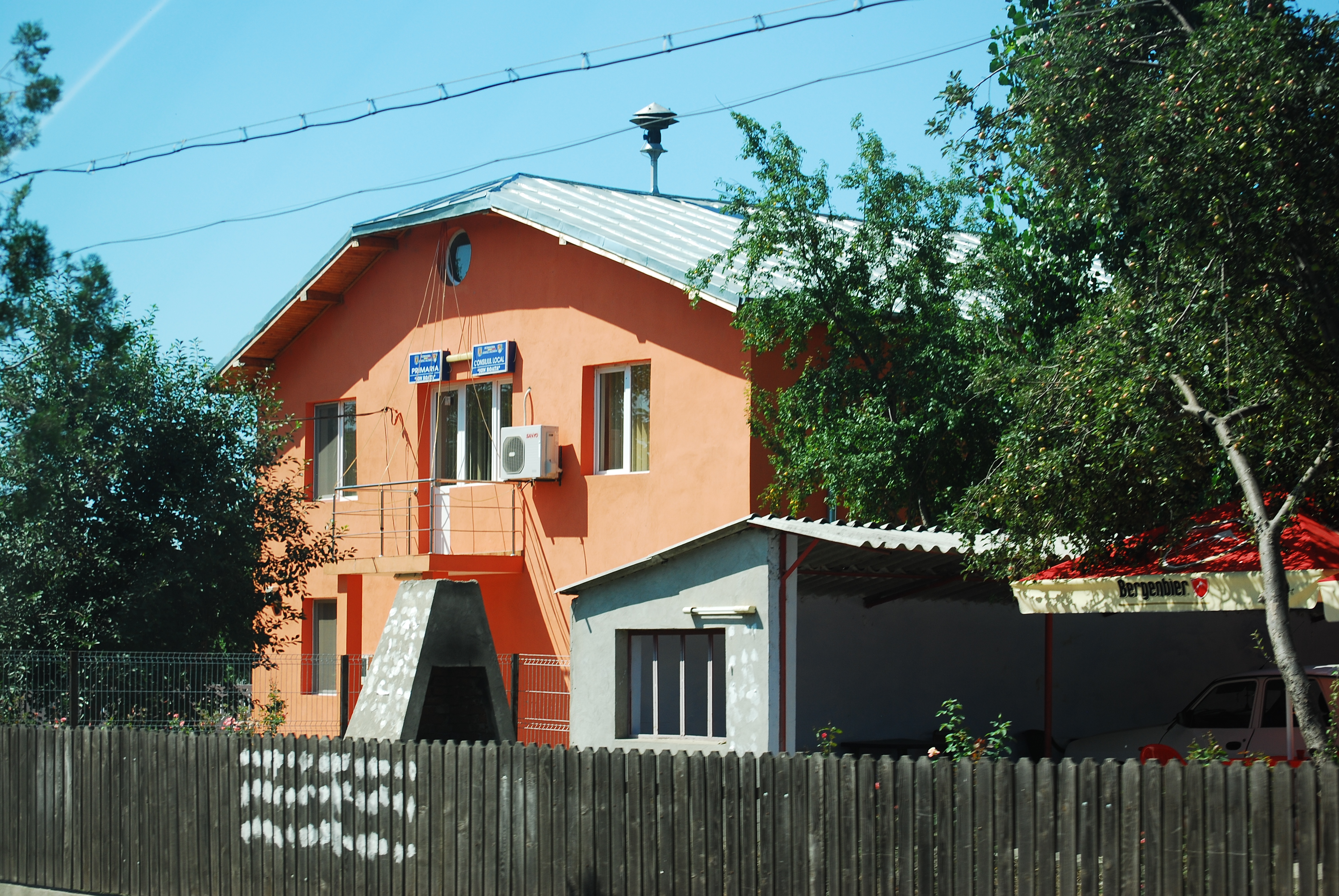
Urziceni
Urziceni (Romanian pronunciation: [urziˈt͡ʃenʲ]) is a town in Ialomiţa County, Romania, located around 60 km north-east of Bucharest. It has a population of 14,053: 93.1% Romanians, 4.6% Roma and 1.6% Hungarians.
Urziceni Wikipedia Page

About Our Data
The data on this page is estimated using a number of publicly available tools and resources. It is provided without warranty, and could contain inaccuracies. Use at your own risk.