Categories in Ečka
Ečka Facts
| Local Time | |
| Timezone | Central European Summer Time |
| Lat & Lng | 45.32328, 20.44294 |
| Postal Codes | 23203 |
Map of Ečka
Interactive Map
Area Codes
Percentage Area Codes used by businesses in Ečka
Postal Codes
Percentage of businesses by Postal Codes in Ečka
Price Distribution
Business distribution by price for Ečka
Recent Nearby Earthquakes
Magnitude 3.0 and greater
| Date▼ | Time↕ | Magnitude↕ | Distance↕ | Depth↕ | Location↕ | Link |
|---|---|---|---|---|---|---|
| 12/23/18 | 6:33 AM | 4.1 | 39.2 km | 10,000 m | 2km NW of Hajducica, Serbia | usgs.gov |
| 2/7/08 | 4:45 PM | 3.6 | 65.9 km | 19,000 m | Serbia-Romania border region | usgs.gov |
| 9/20/07 | 10:46 PM | 3.3 | 43.6 km | 14,900 m | Serbia | usgs.gov |
| 7/30/07 | 8:51 PM | 3.1 | 11.8 km | 10,000 m | Serbia | usgs.gov |
| 6/6/01 | 11:13 AM | 3.3 | 98.7 km | 33,000 m | Serbia | usgs.gov |
| 3/15/01 | 7:01 PM | 3.6 | 89.1 km | 700 m | Serbia | usgs.gov |
| 10/5/00 | 11:04 PM | 3 | 70.8 km | 10,000 m | Romania | usgs.gov |
| 3/24/96 | 9:13 AM | 4.8 | 56.3 km | 22,600 m | Romania | usgs.gov |
| 8/24/95 | 3:14 PM | 4.4 | 51.7 km | 62,800 m | Romania | usgs.gov |
| 2/12/95 | 6:05 AM | 3.5 | 49.3 km | 10,000 m | Romania | usgs.gov |
Source: U.S. Geological Survey (USGS)
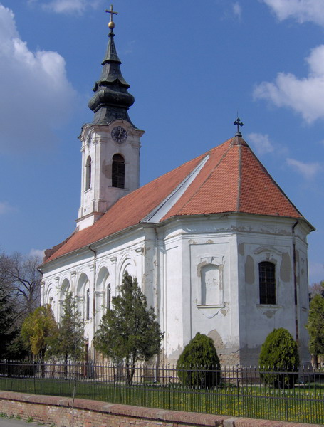
Ečka
Ečka (Serbian Cyrillic: Ечка, Serbian pronunciation: [êtʃka]) is a village located in the Zrenjanin municipality, in the Central Banat District of Serbia. It is situated in the autonomous province of Vojvodina.
Ečka Wikipedia Page


About Our Data
The data on this page is estimated using a number of publicly available tools and resources. It is provided without warranty, and could contain inaccuracies. Use at your own risk.