Ihan Facts
| Local Time | |
| Timezone | Central European Summer Time |
| Lat & Lng | 46.12083, 14.62000 |
Map of Ihan
Interactive Map
Price Distribution
Business distribution by price for Ihan
Recent Nearby Earthquakes
Magnitude 3.0 and greater
| Date▼ | Time↕ | Magnitude↕ | Distance↕ | Depth↕ | Location↕ | Link |
|---|---|---|---|---|---|---|
| 3/13/14 | 5:31 PM | 4.4 | 44.9 km | 2,000 m | 9km E of Ribnica, Slovenia | usgs.gov |
| 6/16/13 | 8:04 PM | 4 | 39.5 km | 10,000 m | 5km WSW of Zuzemberk, Slovenia | usgs.gov |
| 4/7/13 | 11:23 AM | 3.4 | 14.4 km | 10,000 m | 6km NNE of Moravce, Slovenia | usgs.gov |
| 2/2/13 | 1:35 PM | 4 | 41 km | 10,000 m | Austria | usgs.gov |
| 12/3/12 | 4:36 AM | 4.3 | 14.4 km | 8,500 m | Slovenia | usgs.gov |
| 6/25/08 | 2:09 PM | 3.1 | 41.4 km | 9,400 m | Slovenia | usgs.gov |
| 4/19/08 | 1:49 AM | 3.9 | 26.7 km | 10,000 m | Slovenia | usgs.gov |
| 5/2/07 | 12:49 PM | 3.7 | 41.5 km | 2,000 m | Austria | usgs.gov |
| 1/1/07 | 2:59 PM | 4.2 | 48.8 km | 10,000 m | Austria | usgs.gov |
| 12/8/06 | 5:34 PM | 3 | 12 km | 10,000 m | Slovenia | usgs.gov |
Source: U.S. Geological Survey (USGS)
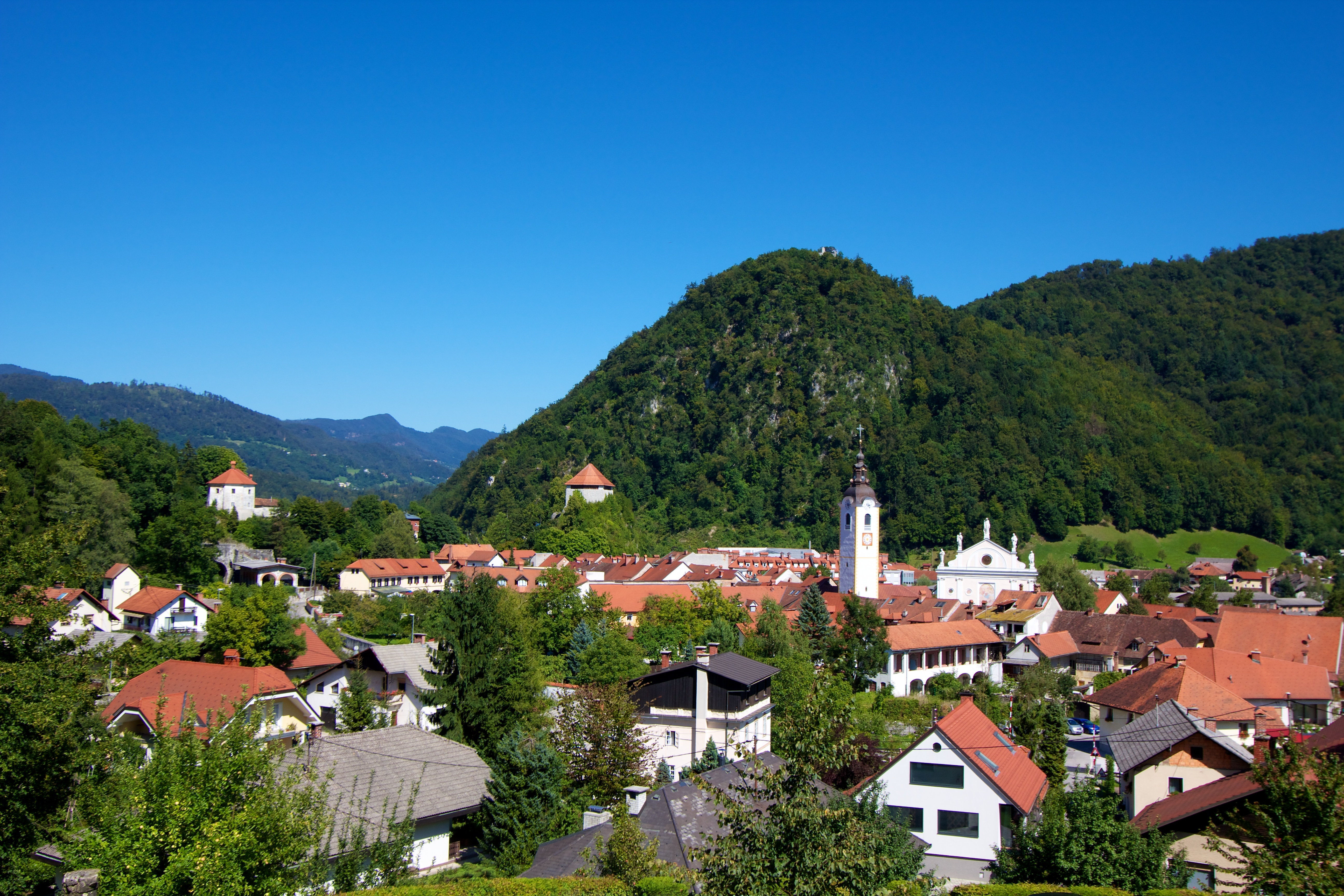
Ihan
Ihan (pronounced [iˈxan]; German: Jauchen) is a settlement in the Municipality of Domžale in the Upper Carniola region of Slovenia. The settlement used to be part of the Krumperk lordship. Today it is known for its pig farm, which is the largest in S..
Ihan Wikipedia Page

About Our Data
The data on this page is estimated using a number of publicly available tools and resources. It is provided without warranty, and could contain inaccuracies. Use at your own risk.