Gabiley Facts
| Local Time | |
| Timezone | East Africa Time |
| Lat & Lng | 9.70028, 43.62444 |
Map of Gabiley
Interactive Map
Recent Nearby Earthquakes
Magnitude 3.0 and greater
| Date▼ | Time↕ | Magnitude↕ | Distance↕ | Depth↕ | Location↕ | Link |
|---|---|---|---|---|---|---|
| 8/2/11 | 11:24 PM | 5 | 66.5 km | 10,000 m | Ethiopia | usgs.gov |
| 2/26/07 | 8:48 AM | 5 | 87.5 km | 10,000 m | Ethiopia | usgs.gov |
| 2/22/07 | 5:50 PM | 3.9 | 98.9 km | 10,000 m | Ethiopia | usgs.gov |
| 8/15/80 | 2:41 AM | 4.4 | 68.7 km | 10,000 m | northwestern Somalia | usgs.gov |
| 7/11/80 | 11:31 PM | 4.5 | 62.2 km | 10,000 m | Ethiopia | usgs.gov |
| 5/30/80 | 11:43 AM | 4.3 | 55.3 km | 10,000 m | northwestern Somalia | usgs.gov |
| 5/30/80 | 8:02 AM | 5.2 | 66.2 km | 10,000 m | northwestern Somalia | usgs.gov |
| 5/16/80 | 5:40 PM | 4.9 | 71.7 km | 10,000 m | Ethiopia | usgs.gov |
| 5/13/80 | 5:35 AM | 4.6 | 78.9 km | 10,000 m | northwestern Somalia | usgs.gov |
| 5/3/80 | 9:25 AM | 4.1 | 72.4 km | 10,000 m | northwestern Somalia | usgs.gov |
Source: U.S. Geological Survey (USGS)
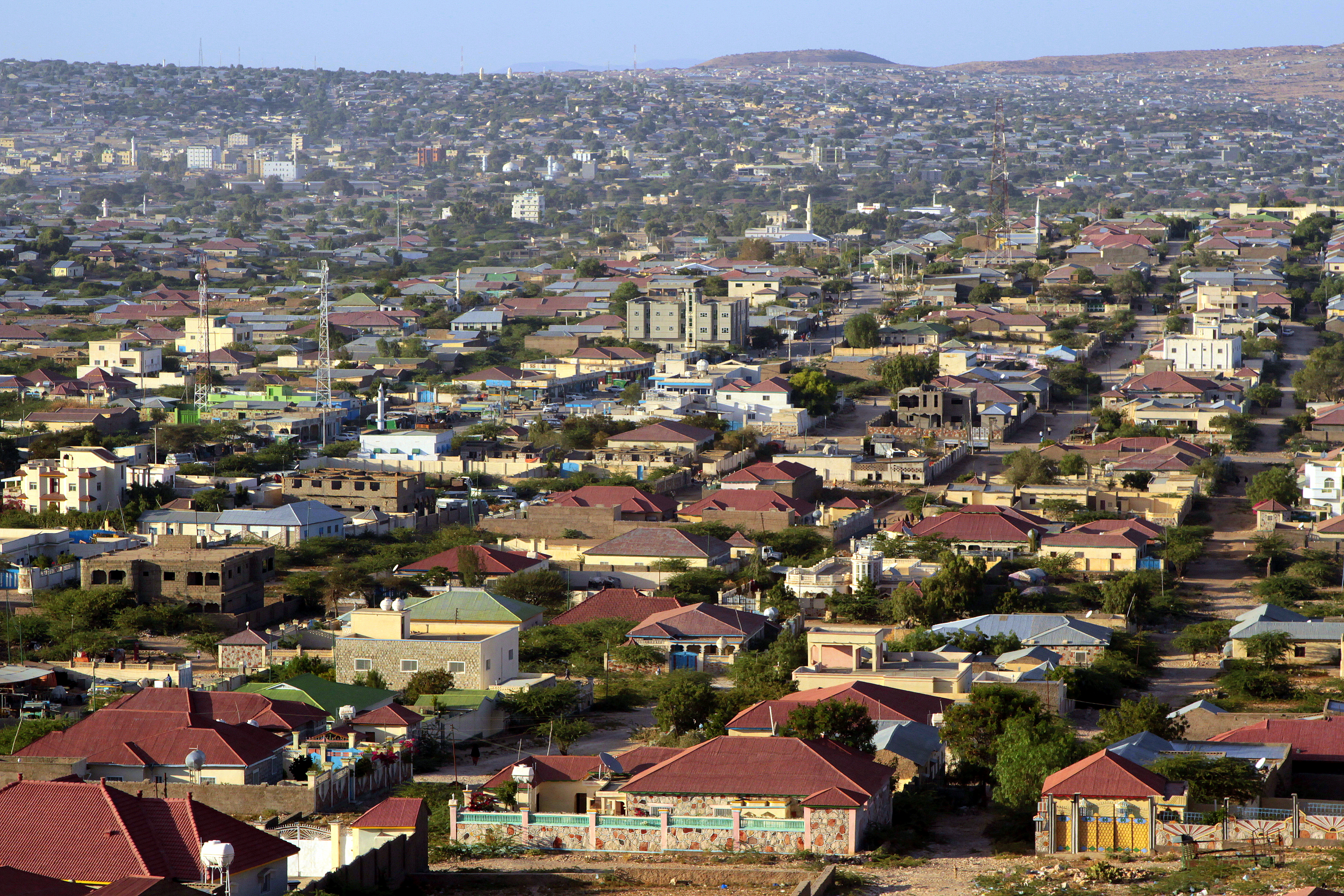
Gabiley
Gabiley (Somali: Gabileh, Arabic: غابيلي), also known as Gebiley, is a town in the northwestern Woqooyi Galbeed province of Somaliland, a self-declared republic that is internationally recognized as an autonomous region of Somalia.
Gabiley Wikipedia Page


About Our Data
The data on this page is estimated using a number of publicly available tools and resources. It is provided without warranty, and could contain inaccuracies. Use at your own risk.