Inkhil Facts
| Local Time | |
| Timezone | GMT+03:00 |
| Lat & Lng | 33.01797, 36.12806 |
Map of Inkhil
Interactive Map
Recent Nearby Earthquakes
Magnitude 3.0 and greater
| Date▼ | Time↕ | Magnitude↕ | Distance↕ | Depth↕ | Location↕ | Link |
|---|---|---|---|---|---|---|
| 7/4/18 | 7:45 PM | 4.7 | 68.5 km | 10,000 m | 5km SE of 'Eilabun, Israel | usgs.gov |
| 7/4/18 | 1:50 AM | 4 | 69.6 km | 10,000 m | 6km SSE of 'Eilabun, Israel | usgs.gov |
| 9/1/14 | 8:50 PM | 4.4 | 83.8 km | 10,000 m | 4km S of Sirghaya, Syria | usgs.gov |
| 7/5/14 | 9:41 PM | 4 | 92.8 km | 12,700 m | 3km NE of Sidon, Lebanon | usgs.gov |
| 10/20/13 | 12:54 PM | 3.5 | 55.1 km | 5,000 m | 8km NNE of Tiberias, Israel | usgs.gov |
| 7/10/09 | 6:19 PM | 4 | 79.4 km | 10,000 m | Lebanon - Syria region | usgs.gov |
| 7/2/08 | 9:29 AM | 3.1 | 69.7 km | 20,100 m | Lebanon - Syria region | usgs.gov |
| 6/23/08 | 3:45 PM | 3 | 71.8 km | 1,000 m | Lebanon - Syria region | usgs.gov |
| 6/13/08 | 5:28 AM | 4 | 71.6 km | 1,000 m | Lebanon - Syria region | usgs.gov |
| 6/12/08 | 4:40 PM | 4 | 71.7 km | 5,400 m | Lebanon - Syria region | usgs.gov |
Source: U.S. Geological Survey (USGS)
Inkhil
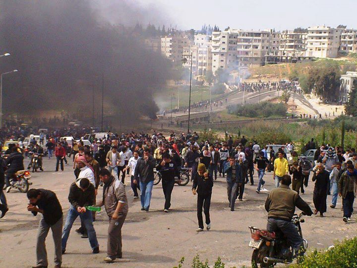
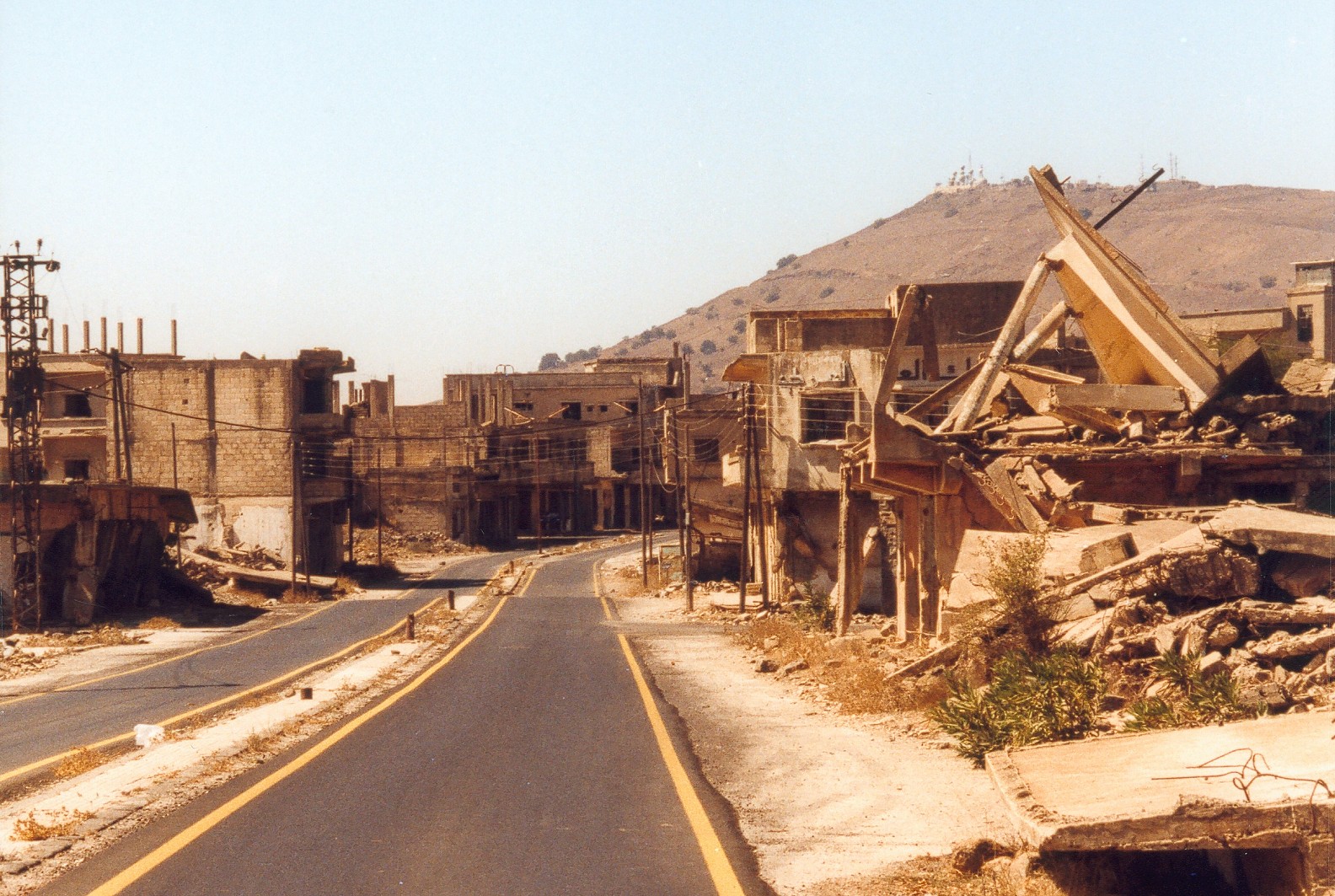
Inkhil (Arabic: أنخل, also spelled Ankhil) is a town in the al-Sanamayn District of the Daraa Governorate in southern Syria located north of Daraa and just east of the Golan Heights in the Hauran plain. In the 2004 census by the Syria Central Bureau..
Inkhil Wikipedia Page

About Our Data
The data on this page is estimated using a number of publicly available tools and resources. It is provided without warranty, and could contain inaccuracies. Use at your own risk.