Qatma Facts
| Local Time | |
| Timezone | GMT+03:00 |
| Lat & Lng | 36.59244, 36.96123 |
Map of Qatma
Interactive Map
Recent Nearby Earthquakes
Magnitude 3.0 and greater
| Date▼ | Time↕ | Magnitude↕ | Distance↕ | Depth↕ | Location↕ | Link |
|---|---|---|---|---|---|---|
| 4/15/19 | 8:10 PM | 3 | 96 km | 10,000 m | 11km NW of Toygarli, Turkey | usgs.gov |
| 8/19/18 | 3:22 PM | 5.1 | 93.9 km | 10,000 m | 9km WNW of Haruniye, Turkey | usgs.gov |
| 7/31/18 | 2:36 PM | 4.3 | 90.9 km | 6,480 m | 9km SW of Toprakkale, Turkey | usgs.gov |
| 2/25/17 | 9:06 PM | 4.6 | 94.8 km | 2,310 m | 6km W of Toprakkale, Turkey | usgs.gov |
| 8/26/15 | 11:01 PM | 4.2 | 79 km | 6,500 m | 14km SE of Turkoglu, Turkey | usgs.gov |
| 1/8/15 | 6:44 PM | 4.2 | 56.7 km | 8,800 m | 12km SE of Nurdagi, Turkey | usgs.gov |
| 6/9/14 | 3:38 AM | 4.6 | 83.2 km | 17,600 m | 19km NW of Denizciler, Turkey | usgs.gov |
| 2/14/14 | 12:33 AM | 4.7 | 80.5 km | 10,000 m | 16km NW of Denizciler, Turkey | usgs.gov |
| 5/6/13 | 6:33 PM | 4 | 80.9 km | 7,400 m | central Turkey | usgs.gov |
| 4/25/13 | 10:54 PM | 4.3 | 80.8 km | 5,300 m | central Turkey | usgs.gov |
Source: U.S. Geological Survey (USGS)
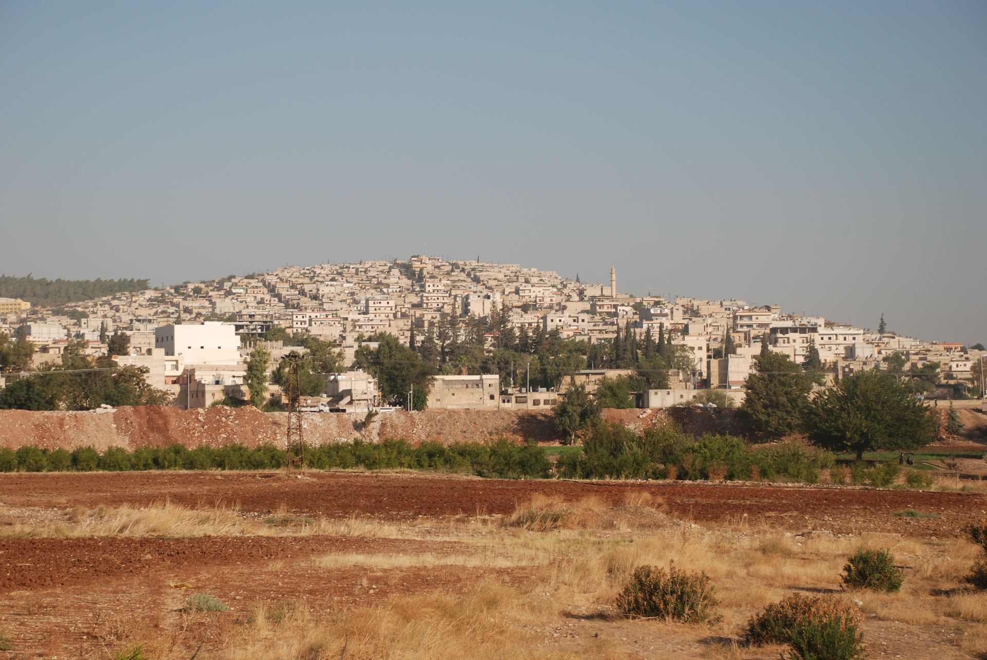
Qatma
Qaṭma, (Arabic: قطمة) or Qatmet Efrin is a village in northwestern Syria, within Afrin Canton, "de facto" autonomous since January 2014, but formerly part of Afrin District. It lies northeast of Afrin and west of Azaz. According to the Syria Central..
Qatma Wikipedia Page

About Our Data
The data on this page is estimated using a number of publicly available tools and resources. It is provided without warranty, and could contain inaccuracies. Use at your own risk.