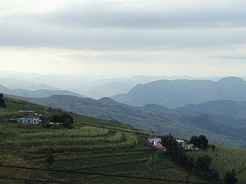
Map of Sandlane
Interactive Map
Recent Nearby Earthquakes
Magnitude 3.0 and greater
| Date▼ | Time↕ | Magnitude↕ | Distance↕ | Depth↕ | Location↕ | Link |
|---|---|---|---|---|---|---|
| 7/1/19 | 8:28 AM | 3.7 | 19.9 km | 5,000 m | 36km W of Mhlambanyatsi, Swaziland | usgs.gov |
| 7/19/18 | 1:34 AM | 4.3 | 83.9 km | 5,000 m | 32km NNE of Breyten, South Africa | usgs.gov |
| 5/27/12 | 6:56 PM | 4.4 | 63.5 km | 5,000 m | South Africa | usgs.gov |
| 2/7/00 | 7:34 PM | 4.5 | 32.6 km | 5,000 m | South Africa | usgs.gov |
| 8/4/87 | 7:53 PM | 4.4 | 79 km | 10,000 m | Swaziland | usgs.gov |
| 2/17/80 | 12:58 AM | 4.7 | 68.8 km | 33,000 m | South Africa | usgs.gov |
Source: U.S. Geological Survey (USGS)
Sandlane
Sandlane is the westernmost town in Swaziland. It is located close to the border with South Africa, 40 kilometres southwest of the capital, Mbabane.
Sandlane Wikipedia Page


About Our Data
The data on this page is estimated using a number of publicly available tools and resources. It is provided without warranty, and could contain inaccuracies. Use at your own risk.