Ko Phi Phi Don Facts
| Neighborhoods | Tambon Ao Nang, Ao Nang, Ko Phi Phi, Rawai, Tambon Karon |
| Local Time | |
| Timezone | Indochina Time |
| Lat & Lng | 7.74044, 98.77200 |
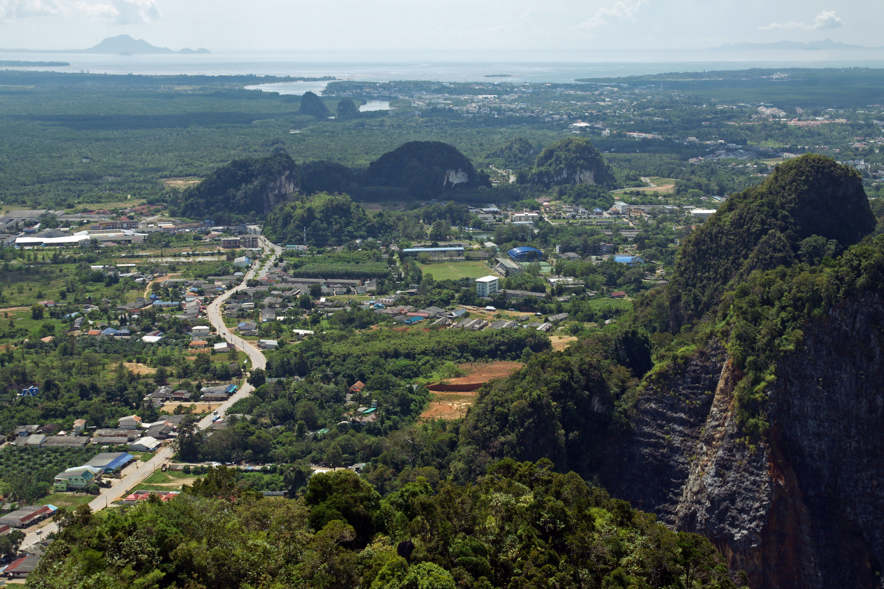
Map of Ko Phi Phi Don
Interactive Map
Neighborhoods in Ko Phi Phi Don
Percentage of businesses by neighborhood in Ko Phi Phi Don
Price Distribution
Business distribution by price for Ko Phi Phi Don
Recent Nearby Earthquakes
Magnitude 3.0 and greater
| Date▼ | Time↕ | Magnitude↕ | Distance↕ | Depth↕ | Location↕ | Link |
|---|---|---|---|---|---|---|
| 5/6/15 | 5:30 PM | 3.8 | 29.4 km | 14,500 m | 1km ENE of Ban Phlu Nai (1), Thailand | usgs.gov |
| 5/5/15 | 9:18 PM | 4.2 | 12.9 km | 10,000 m | 18km ESE of Ban Phlu Nai (1), Thailand | usgs.gov |
| 3/24/15 | 10:32 PM | 3.4 | 3.8 km | 10,000 m | 26km SE of Ban Phlu Nai (1), Thailand | usgs.gov |
| 4/16/12 | 9:44 AM | 3.9 | 50.8 km | 10,000 m | Malay Peninsula, Thailand | usgs.gov |
Source: U.S. Geological Survey (USGS)
Ko Phi Phi Don
Ko Phi Phi Don (Thai: เกาะพีพีดอน, pronounced [kɔ̀ʔ pʰīː pʰīː dɔ̄ːn]) is the largest of the islands in the Ko Phi Phi archipelago, in Thailand. The islands are administratively part of Krabi Province. It is the only island in the group with permanent..
Ko Phi Phi Don Wikipedia Page


About Our Data
The data on this page is estimated using a number of publicly available tools and resources. It is provided without warranty, and could contain inaccuracies. Use at your own risk.