Categories in Bizerte
Industries
Business Distribution by Industry in Bizerte
| Industry Description | Number of Establishments |
|---|---|
| Cafes | 201 |
| Restaurants | 165 |
| Shopping | 121 |
| Education | 107 |
| Corporate management | 68 |
| Apartments | 59 |
| Bakeries | 56 |
| Health and medical | 54 |
| Electronics stores | 54 |
| Beauty salons | 52 |
| Public administration | 51 |
| Pharmacies and drug stores | 50 |
| Grocery stores and supermarkets | 50 |
Bizerte Facts
| Area | 468.4 km² |
| Population | 151,992 |
| Male Population | 76,762 (50.5%) |
| Female Population | 75,230 (49.5%) |
| Population change (1975 to 2020) | +197.0% |
| Population change (2000 to 2020) | +34.5% |
| Median Age | 31.6 years (Male: 31.1, Female: 32.1) |
| Area Codes | 72 |
| Neighborhoods | Ra's al Jabal, houmet paris, Zarzouna, Sidi Salem, Cité Ennakhla |
| Local Time | |
| Timezone | Central European Standard Time |
| Lat & Lng | 37.27442, 9.87391 |
| Postal Codes | 7000, 7002, 7003, 7053, 7071 |
Map of Bizerte
Interactive Map
Bizerte Population
Years 1975 to 2020
| Data | 1975 | 1990 | 2000 | 2015 | 2020 |
|---|---|---|---|---|---|
| Population | 51,176 | 87,546 | 113,011 | 146,109 | 151,992 |
| Population Density | 109.3 / km² | 186.9 / km² | 241.3 / km² | 311.9 / km² | 324.5 / km² |
Bizerte Population change from 2000 to 2015
Increase of 29.3% from year 2000 to 2015
| Location | Change since 1975 | Change since 1990 | Change since 2000 |
|---|---|---|---|
| Bizerte | +185.5% | +66.9% | +29.3% |
| Bizerte Governorate | +86.6% | +30.8% | +12.8% |
| Tunisia | +99.1% | +36.8% | +16% |
Bizerte Median Age
Median Age: 31.6 years
| Location | Median Age | Median Age (Female) | Median Age (Male) |
|---|---|---|---|
| Bizerte | 31.6 yrs | 32.1 yrs | 31.1 yrs |
| Bizerte Governorate | 31.6 yrs | 32.1 yrs | 31.1 yrs |
| Tunisia | 30.5 yrs | 30.9 yrs | 30.1 yrs |
Bizerte Population Density
Population Density: 325 / km²
| Location | Population | Area | Density |
|---|---|---|---|
| Bizerte | 151,992 | 468.4 km² | 325 / km² |
| Bizerte Governorate | 581,259 | 3,678.6 km² | 158 / km² |
| Tunisia | 11.2 million | 155,342.3 km² | 71.9 / km² |
Bizerte Historical and Projected Population
Estimated Population from 0 to 2100
- JRC (European Commission's Joint Research Centre) work on the GHS built-up grid
- CIESIN (Center for International Earth Science Information Network)
- [Link] Klein Goldewijk, K., Beusen, A., Doelman, J., and Stehfest, E.: Anthropogenic land use estimates for the Holocene – HYDE 3.2, Earth Syst. Sci. Data, 9, 927–953, https://doi.org/10.5194/essd-9-927-2017, 2017.
Neighborhoods in Bizerte
Percentage of businesses by neighborhood in Bizerte
Area Codes
Percentage Area Codes used by businesses in Bizerte
Postal Codes
Percentage of businesses by Postal Codes in Bizerte
Price Distribution
Business distribution by price for Bizerte
Human Development Index (HDI)
Statistic composite index of life expectancy, education, and per capita income.
Bizerte CO2 Emissions
Carbon Dioxide (CO2) Emissions Per Capita in Tonnes Per Year
| Location | CO2 Emissions | CO2 Emissions Per Capita | CO2 Emissions Intensity |
|---|---|---|---|
| Bizerte | 404,279 tn | 2.66 tn | 863.2 tons/km² |
| Bizerte Governorate | 1,603,900 tn | 2.76 tn | 436 tons/km² |
| Tunisia | 28,300,683 tn | 2.54 tn | 182.2 tons/km² |
| 2013 CO2 emissions (tonnes/year) | 404,279 tn |
| 2013 CO2 emissions (tonnes/year) per capita | 2.66 tn |
| 2013 CO2 emissions intensity (tonnes/km²/year) | 863.2 tons/km² |
Natural Hazards Risk
Relative risk out of 10
| Hazard | Risk Level |
|---|---|
| Drought | Low (2) |
| Earthquake | Medium (4.1) |
* Risk, particularly concerning flood or landslide, may not be for the entire area.
- Dilley, M., R.S. Chen, U. Deichmann, A.L. Lerner-Lam, M. Arnold, J. Agwe, P. Buys, O. Kjekstad, B. Lyon, and G. Yetman. 2005. Natural Disaster Hotspots: A Global Risk Analysis. Washington, D.C.: World Bank. https://doi.org/10.1596/0-8213-5930-4.
- Center for Hazards and Risk Research - CHRR - Columbia University, Center for International Earth Science Information Network - CIESIN - Columbia University, and International Research Institute for Climate and Society - IRI - Columbia University. 2005. Global Drought Hazard Frequency and Distribution. Palisades, NY: NASA Socioeconomic Data and Applications Center (SEDAC). https://doi.org/10.7927/H4VX0DFT.
- Center for Hazards and Risk Research - CHRR - Columbia University, Center for International Earth Science Information Network - CIESIN - Columbia University. 2005. Global Earthquake Hazard Distribution - Peak Ground Acceleration. Palisades, NY: NASA Socioeconomic Data and Applications Center (SEDAC). https://doi.org/10.7927/H4BZ63ZS.
Recent Nearby Earthquakes
Magnitude 3.0 and greater
| Date▼ | Time↕ | Magnitude↕ | Distance↕ | Depth↕ | Location↕ | Link |
|---|---|---|---|---|---|---|
| 3/8/18 | 4:42 PM | 4.7 | 41.5 km | 11,420 m | 11km E of Ghar al Milh, Tunisia | usgs.gov |
| 5/13/07 | 10:42 PM | 4.5 | 59.4 km | 0 m | Tunisia | usgs.gov |
| 12/9/05 | 5:10 AM | 3.2 | 84.9 km | 10,000 m | Tunisia | usgs.gov |
| 5/30/05 | 10:19 PM | 3.5 | 88.8 km | 10,000 m | Tunisia | usgs.gov |
| 2/23/05 | 4:43 AM | 3.3 | 12.1 km | 10,000 m | Tunisia | usgs.gov |
| 1/26/95 | 2:51 PM | 4.3 | 27.3 km | 10,000 m | Tunisia | usgs.gov |
| 4/4/90 | 6:20 AM | 3.7 | 42.9 km | 10,000 m | Tunisia | usgs.gov |
| 7/3/87 | 5:54 AM | 3.6 | 54.6 km | 10,000 m | Tunisia | usgs.gov |
| 4/9/79 | 10:27 AM | 4.3 | 28.4 km | 34,000 m | Tunisia | usgs.gov |
| 4/9/79 | 8:13 AM | 4.9 | 23.2 km | 24,000 m | Tunisia | usgs.gov |
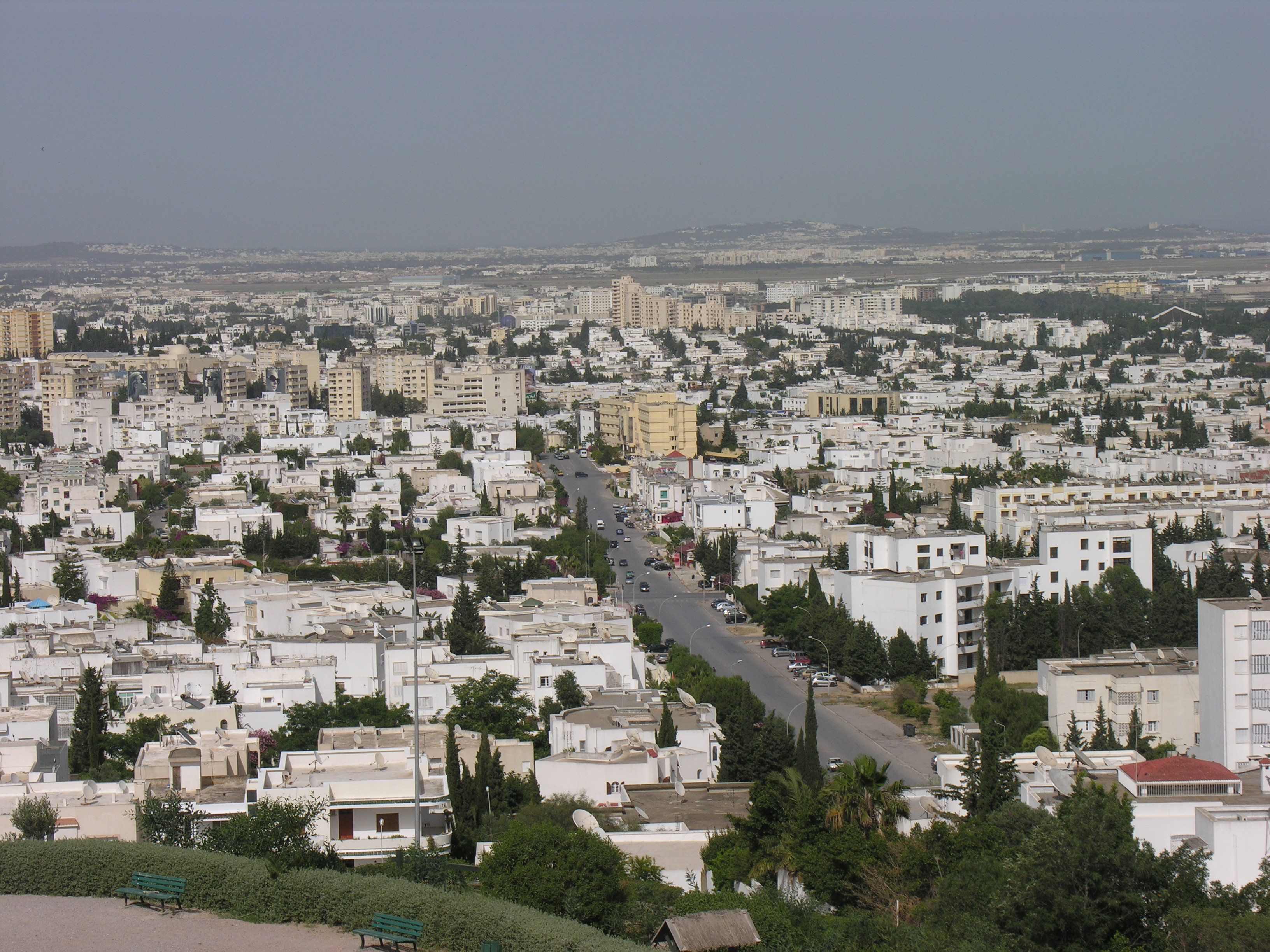
Bizerte
Bizerte (Tunisian Arabic: بنزرت Benzart); historically: Phoenician: 𐤄𐤉𐤁𐤅 𐤀𐤊𐤓𐤀 Hippo Acra, Latin: Hippo Diarrhytus and Hippo Zarytus), also known in English as Bizerta, is the capital city of Bizerte Governorate in Tunisia and the northernm..
Bizerte Wikipedia Page

About Our Data
The data on this page is estimated using a number of publicly available tools and resources. It is provided without warranty, and could contain inaccuracies. Use at your own risk.