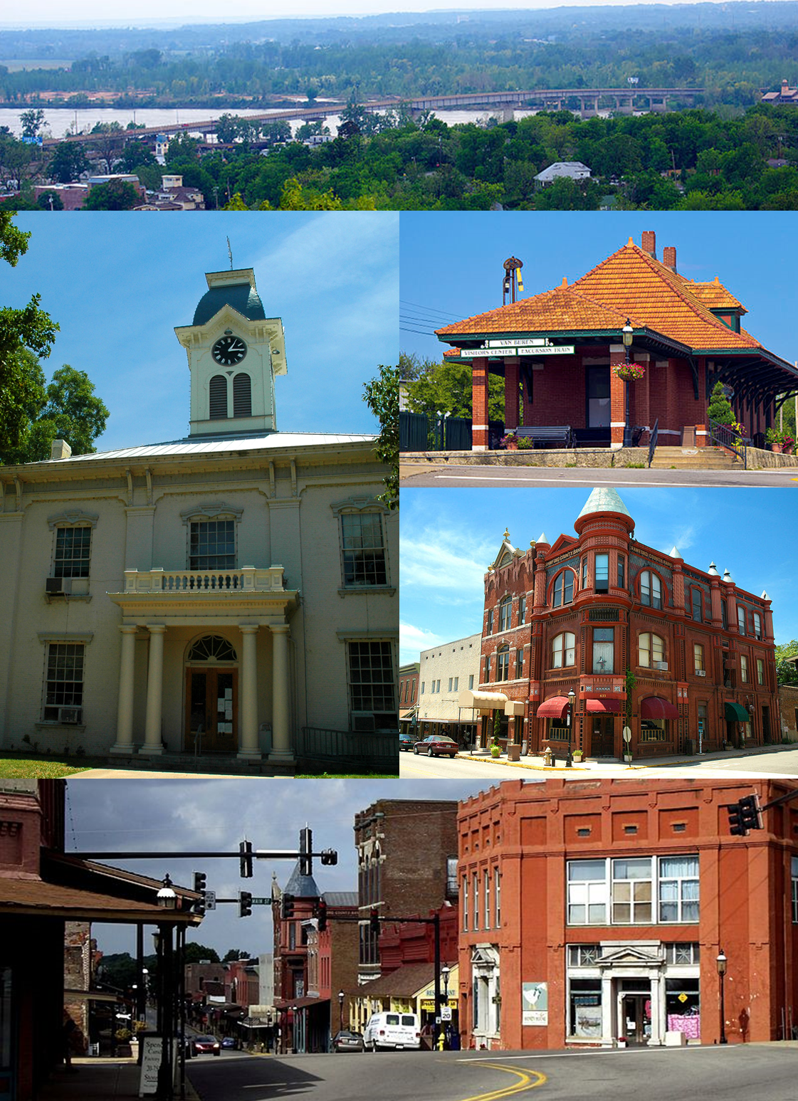
Categories in Barling
Car Detailing ServiceCar Repair and MaintenanceGas StationUsed car dealersMetalworkingRadio BroadcasterBaptist ChurchChurchesCounselorCourts of lawMilitary BaseReligionReligious OrganizationSocial Services OrganizationSocial WorkerBuilding Construction ContractorConstruction of buildingsConstruction of housesHousing DevelopmentHVAC ContractorRoofing contractorSiding ContractorEntertainment ProviderGraphic DesignerRestaurantsLawn Care ServiceTrailer Rental ServiceAtm'sGeneral Accounting & BookkeepingInsurance AgencyLegal ServicesCemeteryFamily Practice PhysicianMedical clinicMedical OfficeNurse practitionerPhysicians and surgeonsPsychiatristBeauty salonsHair SalonTanning salonsBusiness Management ConsultantBusiness to Business ServiceCleaning ServiceHouse Cleaning ServiceJanitorial ServiceServices for IndustryReal Estate AgencyResidential Property RentalsConvenience stores
Showing 1-50 of 56
Industries
Business Distribution by Industry in Barling
| Industry Description | Number of Establishments | Average Age of Business |
|---|---|---|
| Health and medical | 58 | 26 years |
| Physicians and surgeons | 26 | — |
| Shopping | 18 | 38 years |
| Real estate | 18 | 25 years |
| Religion | 17 | 40 years |
| Social work | 16 | — |
| Restaurants | 16 | — |
| Construction of buildings | 16 | 38 years |
| Other construction | 14 | — |
| Corporate management | 11 | — |
| Beauty salons | 11 | — |
| Car repair | 10 | 28 years |
| Hairdressers | 10 | 17 years |
| Public administration | 10 | — |
| Financial services | 10 | — |
Barling Facts
| Area | 10.7 mi² |
| Population | 4,862 |
| Male Population | 2,357 (48.5%) |
| Female Population | 2,505 (51.5%) |
| Population change (1975 to 2020) | +53.6% |
| Population change (2000 to 2020) | +17.5% |
| Median Age | 40.4 years (Male: 37.9, Female: 43.2) |
| Area Codes | 479 |
| Neighborhoods | Fort Smith Northside, Barling, Downtown Fort Smith, Fort Smith Southside, Fort Smith Eastside |
| Local Time | |
| Timezone | Central Daylight Time |
| Lat & Lng | 35.32565, -94.30160 |
| Zip Codes | 72923 |
Map of Barling
Interactive Map
Barling Population
Years 1975 to 2020
| Data | 1975 | 1990 | 2000 | 2015 | 2020 |
|---|---|---|---|---|---|
| Population | 3,165 | 3,720 | 4,139 | 4,653 | 4,862 |
| Population Density | 295.4 / mi² | 347.2 / mi² | 386.3 / mi² | 434.3 / mi² | 453.8 / mi² |
Sources: JRC (European Commission's Joint Research Centre) work on the GHS built-up grid
Barling Population change from 2000 to 2015
Increase of 12.4% from year 2000 to 2015
| Location | Change since 1975 | Change since 1990 | Change since 2000 |
|---|---|---|---|
| Barling | +47% | +25.1% | +12.4% |
| Arkansas | +40.4% | +25% | +12.9% |
| United States | +46.9% | +27.2% | +13.7% |
Sources: JRC (European Commission's Joint Research Centre) work on the GHS built-up grid
Barling Median Age
Median Age: 40.4 years
| Location | Median Age | Median Age (Female) | Median Age (Male) |
|---|---|---|---|
| Barling | 40.4 yrs | 43.2 yrs | 37.9 yrs |
| Arkansas | 37.6 yrs | 38.8 yrs | 36.3 yrs |
| United States | 37.4 yrs | 38.7 yrs | 36.1 yrs |
Sources: CIESIN (Center for International Earth Science Information Network)
Barling Population Density
Population Density: 454 / mi²
| Location | Population | Area | Density |
|---|---|---|---|
| Barling | 4,862 | 10.71 sq mi | 454 / mi² |
| Arkansas | 3 million | 53,178.5 sq mi | 57.1 / mi² |
| United States | 321.6 million | 3,796,740.8 sq mi | 84.7 / mi² |
Sources: JRC (European Commission's Joint Research Centre) work on the GHS built-up grid
Barling Historical and Projected Population
Estimated Population from 1840 to 2100
Sources:
- JRC (European Commission's Joint Research Centre) work on the GHS built-up grid
- CIESIN (Center for International Earth Science Information Network)
- [Link] Klein Goldewijk, K., Beusen, A., Doelman, J., and Stehfest, E.: Anthropogenic land use estimates for the Holocene – HYDE 3.2, Earth Syst. Sci. Data, 9, 927–953, https://doi.org/10.5194/essd-9-927-2017, 2017.
Neighborhoods in Barling
Percentage of businesses by neighborhood in Barling
Price Distribution
Business distribution by price for Barling
Human Development Index (HDI)
Statistic composite index of life expectancy, education, and per capita income.
Source: [Link] Kummu, M., Taka, M. &Guillaume, J. Gridded global datasets for Gross Domestic Product and Human Development Index over 1990–2015. Sci Data 5, 180004 (2018) doi:10.1038/sdata.2018.4
Barling CO2 Emissions
Carbon Dioxide (CO2) Emissions Per Capita in Tonnes Per Year
| Location | CO2 Emissions | CO2 Emissions Per Capita | CO2 Emissions Intensity |
|---|---|---|---|
| Barling | 86,748 tn | 17.84 tn | 8,096.4 tons/mi² |
| Arkansas | 51,735,446 tn | 17.05 tn | 972.9 tons/mi² |
| United States | 5,664,619,810 tn | 17.62 tn | 1,492 tons/mi² |
Sources: [Link] Moran, D., Kanemoto K; Jiborn, M., Wood, R., Többen, J., and Seto, K.C. (2018) Carbon footprints of 13,000 cities. Environmental Research Letters DOI: 10.1088/1748-9326/aac72a
Barling CO2 Emissions
| 2013 CO2 emissions (tonnes/year) | 86,748 tn |
| 2013 CO2 emissions (tonnes/year) per capita | 17.84 tn |
| 2013 CO2 emissions intensity (tonnes/mi²/year) | 8,096.4 tons/mi² |
Natural Hazards Risk
Relative risk out of 10
| Hazard | Risk Level |
|---|---|
| Flood | High (9) |
* Risk, particularly concerning flood or landslide, may not be for the entire area.
Sources:
- Dilley, M., R.S. Chen, U. Deichmann, A.L. Lerner-Lam, M. Arnold, J. Agwe, P. Buys, O. Kjekstad, B. Lyon, and G. Yetman. 2005. Natural Disaster Hotspots: A Global Risk Analysis. Washington, D.C.: World Bank. https://doi.org/10.1596/0-8213-5930-4.
- Center for Hazards and Risk Research - CHRR - Columbia University, Center for International Earth Science Information Network - CIESIN - Columbia University. 2005. Global Flood Hazard Frequency and Distribution. Palisades, NY: NASA Socioeconomic Data and Applications Center (SEDAC). https://doi.org/10.7927/H4668B3D.
Recent Nearby Earthquakes
Magnitude 3.0 and greater
| Date▼ | Time↕ | Magnitude↕ | Distance↕ | Depth↕ | Location↕ | Link |
|---|---|---|---|---|---|---|
| 8/18/19 | 9:07 AM | 3.7 | 98.3 km | 16,079 m | 1km NNE of Quinton, Oklahoma | usgs.gov |
| 8/12/19 | 1:26 AM | 3.19 | 98.3 km | 5,000 m | 1km NE of Quinton, Oklahoma | usgs.gov |
| 6/2/77 | 11:29 PM | 4.3 | 80 km | 10,000 m | Arkansas | usgs.gov |
Source: U.S. Geological Survey (USGS)


About Our Data
The data on this page is estimated using a number of publicly available tools and resources. It is provided without warranty, and could contain inaccuracies. Use at your own risk.