Categories in Deeth, Nevada
Map of Deeth, Nevada
Interactive Map
Recent Nearby Earthquakes
Magnitude 3.0 and greater
| Date▼ | Time↕ | Magnitude↕ | Distance↕ | Depth↕ | Location↕ | Link |
|---|---|---|---|---|---|---|
| 12/16/16 | 8:41 PM | 3.2 | 32.8 km | 0 m | 9km NNE of Wells, Nevada | usgs.gov |
| 2/1/12 | 2:40 PM | 4 | 27.3 km | 0 m | Nevada | usgs.gov |
| 11/7/11 | 5:30 AM | 3.1 | 34.4 km | 0 m | Nevada | usgs.gov |
| 11/30/09 | 5:54 PM | 3 | 31.9 km | 4,500 m | Nevada | usgs.gov |
| 6/6/08 | 3:22 AM | 3.1 | 29.5 km | 10,400 m | Nevada | usgs.gov |
| 5/24/08 | 8:51 AM | 3 | 36.6 km | 11,600 m | Nevada | usgs.gov |
| 3/15/08 | 4:22 PM | 3.6 | 32.2 km | 9,900 m | 5km ENE of Wells, Nevada | usgs.gov |
| 3/14/08 | 7:39 AM | 3.4 | 30.6 km | 7,600 m | 4km NE of Wells, Nevada | usgs.gov |
| 3/13/08 | 8:47 AM | 3.1 | 31.2 km | 9,600 m | Nevada | usgs.gov |
| 3/4/08 | 2:31 AM | 3 | 34.4 km | 2,700 m | Nevada | usgs.gov |
Source: U.S. Geological Survey (USGS)
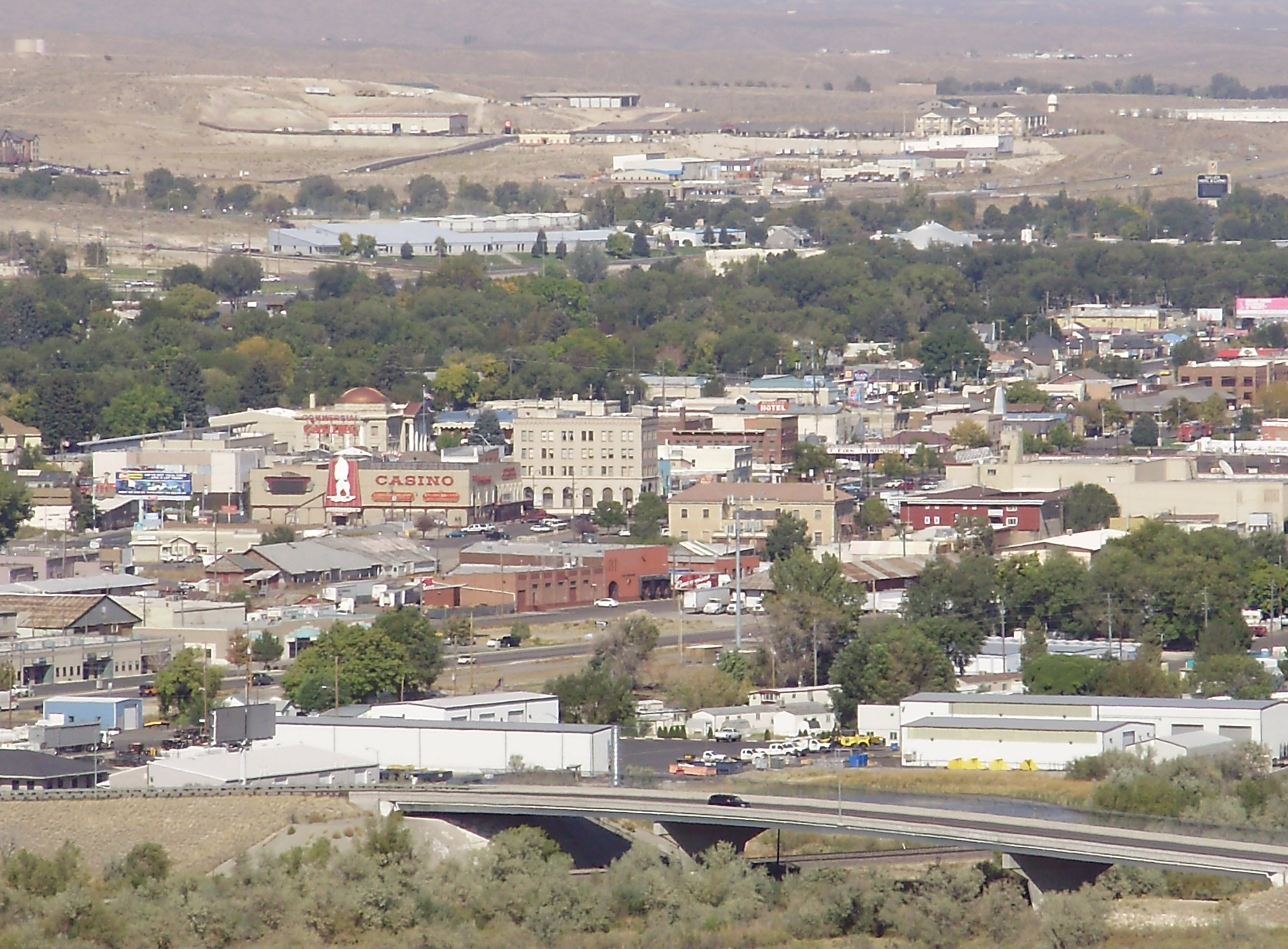
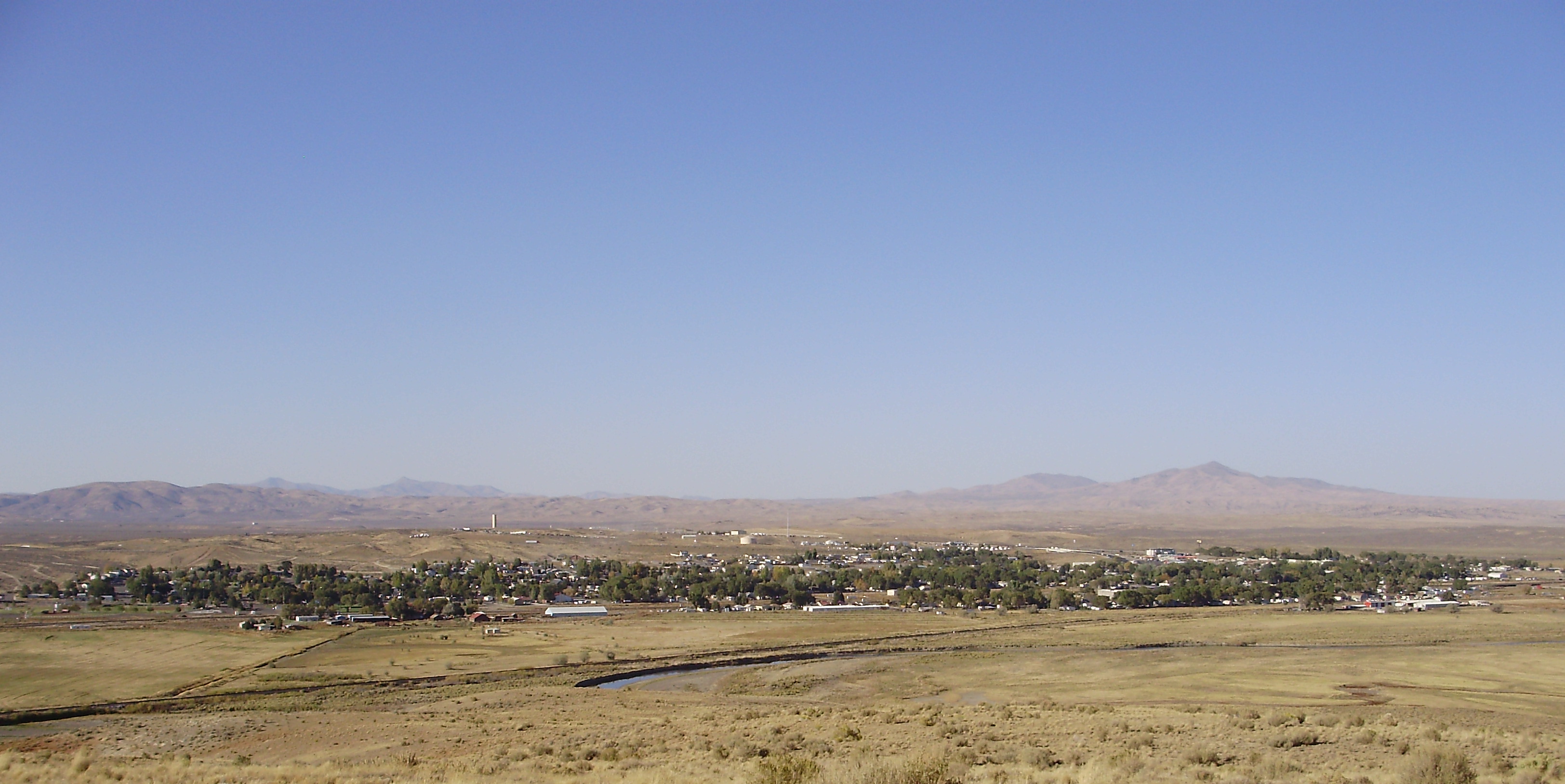
Deeth, Nevada
Deeth is an unincorporated community near the intersection of Interstate 80 and Nevada State Route 230 in Elko County, Nevada, United States. The population is approximately 28. It used to be more populous, with a water tower, a saloon, a hotel, and ..
Deeth, Nevada Wikipedia Page

About Our Data
The data on this page is estimated using a number of publicly available tools and resources. It is provided without warranty, and could contain inaccuracies. Use at your own risk.