Industries
Business Distribution by Industry in Fleming, Ohio
| Industry Description | Number of Establishments | Average Age of Business |
|---|---|---|
| Construction of buildings | 9 | 21 years |
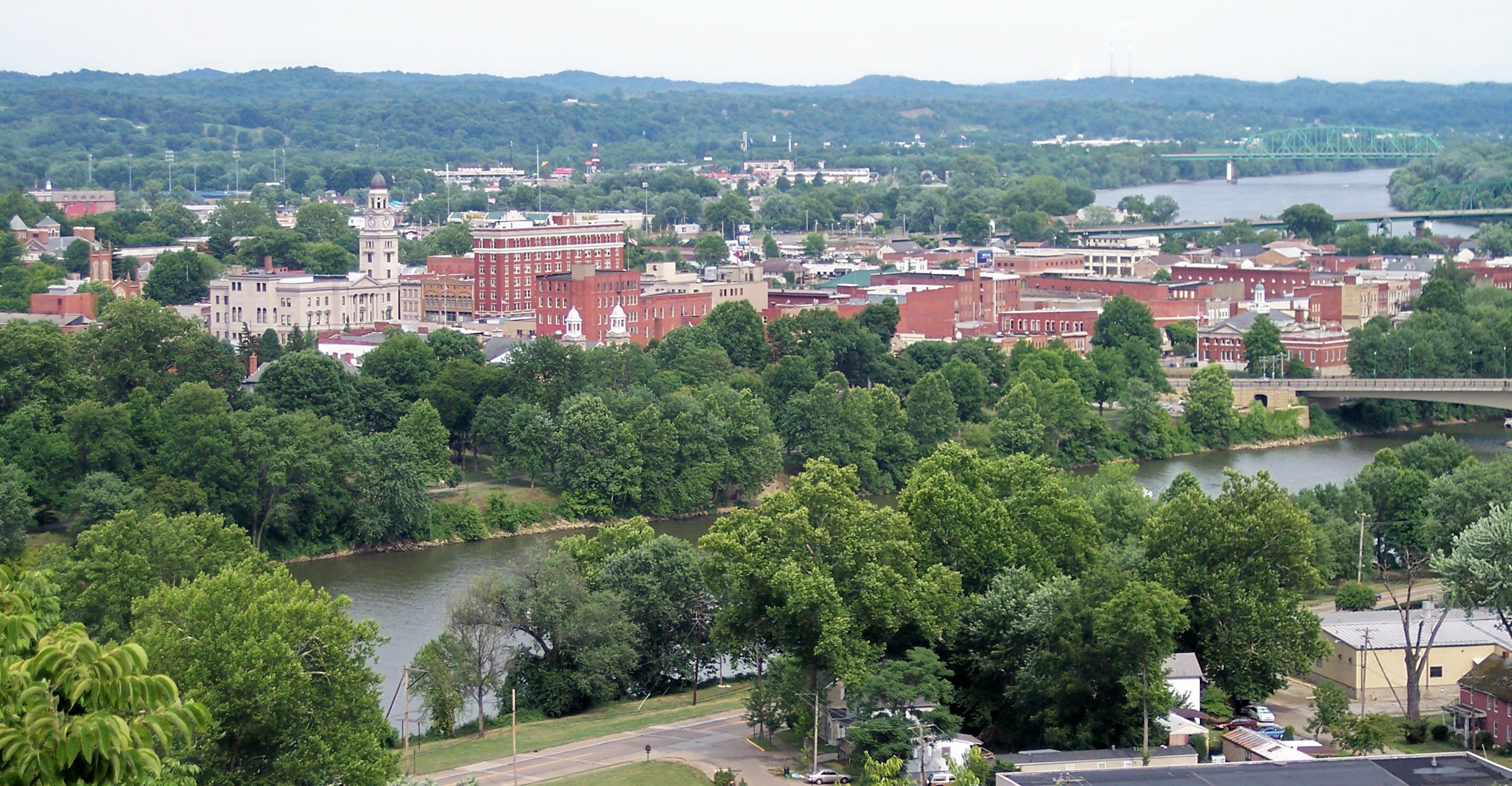
Map of Fleming, Ohio
Interactive Map
Recent Nearby Earthquakes
Magnitude 3.0 and greater
| Date▼ | Time↕ | Magnitude↕ | Distance↕ | Depth↕ | Location↕ | Link |
|---|---|---|---|---|---|---|
| 6/3/17 | 3:08 AM | 3.4 | 64.3 km | 1,730 m | 12km SW of Barnesville, Ohio | usgs.gov |
| 5/24/17 | 4:24 PM | 3.4 | 76.8 km | 10,000 m | 1km S of McArthur, Ohio | usgs.gov |
| 4/2/17 | 11:58 AM | 3 | 43.7 km | 3,930 m | 15km SW of Woodsfield, Ohio | usgs.gov |
| 11/20/13 | 5:59 PM | 3.5 | 51.5 km | 8,000 m | 2km ESE of Nelsonville, Ohio | usgs.gov |
| 8/31/11 | 5:36 PM | 3.1 | 17.9 km | 5,000 m | Ohio | usgs.gov |
| 4/24/09 | 1:42 PM | 3.3 | 86.2 km | 5,000 m | 13km NW of Gallipolis, Ohio | usgs.gov |
| 5/28/88 | 4:18 PM | 3.4 | 40.1 km | 0 m | Ohio | usgs.gov |
| 2/16/75 | 11:21 PM | 3.3 | 79.7 km | 5,000 m | Ohio | usgs.gov |
| 10/20/74 | 3:13 PM | 3.4 | 33 km | 11,000 m | West Virginia | usgs.gov |
| 6/20/52 | 9:38 AM | 4 | 44.9 km | 9,000 m | Ohio | usgs.gov |
Source: U.S. Geological Survey (USGS)
Fleming, Ohio
Fleming is a small unincorporated community in rural eastern Barlow Township, Washington County, Ohio, United States. along State Route 550 between Barlow and Marietta, it is surrounded by farmland dotted with occasional trees. It lies near, but not..
Fleming, Ohio Wikipedia Page

About Our Data
The data on this page is estimated using a number of publicly available tools and resources. It is provided without warranty, and could contain inaccuracies. Use at your own risk.