Map of Kipling, Ohio
Interactive Map
Recent Nearby Earthquakes
Magnitude 3.0 and greater
| Date▼ | Time↕ | Magnitude↕ | Distance↕ | Depth↕ | Location↕ | Link |
|---|---|---|---|---|---|---|
| 6/3/17 | 3:08 AM | 3.4 | 19.8 km | 1,730 m | 12km SW of Barnesville, Ohio | usgs.gov |
| 4/2/17 | 11:58 AM | 3 | 42.9 km | 3,930 m | 15km SW of Woodsfield, Ohio | usgs.gov |
| 11/20/13 | 5:59 PM | 3.5 | 86 km | 8,000 m | 2km ESE of Nelsonville, Ohio | usgs.gov |
| 8/31/11 | 5:36 PM | 3.1 | 54 km | 5,000 m | Ohio | usgs.gov |
| 5/28/88 | 4:18 PM | 3.4 | 28.7 km | 0 m | Ohio | usgs.gov |
| 6/20/52 | 9:38 AM | 4 | 59.7 km | 9,000 m | Ohio | usgs.gov |
Source: U.S. Geological Survey (USGS)
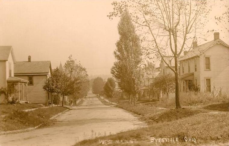
Kipling, Ohio
Kipling is an unincorporated community and coal town in southwestern Center Township, Guernsey County, Ohio, United States. It lies along State Route 265.
Kipling, Ohio Wikipedia Page

About Our Data
The data on this page is estimated using a number of publicly available tools and resources. It is provided without warranty, and could contain inaccuracies. Use at your own risk.