Categories in Loring AFB
Map of Loring AFB
Interactive Map
Recent Nearby Earthquakes
Magnitude 3.0 and greater
| Date▼ | Time↕ | Magnitude↕ | Distance↕ | Depth↕ | Location↕ | Link |
|---|---|---|---|---|---|---|
| 11/4/15 | 3:04 PM | 3.7 | 96.8 km | 5,000 m | 88km W of Miramichi, Canada | usgs.gov |
| 11/2/14 | 1:58 AM | 3.2 | 65.6 km | 5,000 m | New Brunswick, Canada | usgs.gov |
| 8/28/13 | 9:44 AM | 3.2 | 98.2 km | 5,000 m | 86km W of Miramichi, Canada | usgs.gov |
| 7/14/06 | 9:34 AM | 3.86 | 60.7 km | 13,810 m | Maine | usgs.gov |
| 6/1/06 | 9:34 AM | 3.6 | 52.1 km | 5,000 m | New Brunswick, Canada | usgs.gov |
| 10/18/03 | 4:25 PM | 3.5 | 53.6 km | 18,000 m | New Brunswick, Canada | usgs.gov |
| 7/15/98 | 7:08 AM | 4 | 98.1 km | 5,000 m | New Brunswick, Canada | usgs.gov |
| 5/6/95 | 7:51 AM | 3.9 | 98.7 km | 5,000 m | New Brunswick, Canada | usgs.gov |
| 7/14/94 | 12:41 PM | 3.8 | 98.7 km | 5,000 m | New Brunswick, Canada | usgs.gov |
| 4/23/91 | 3:19 AM | 3.3 | 98.7 km | 5,000 m | New Brunswick, Canada | usgs.gov |
Source: U.S. Geological Survey (USGS)
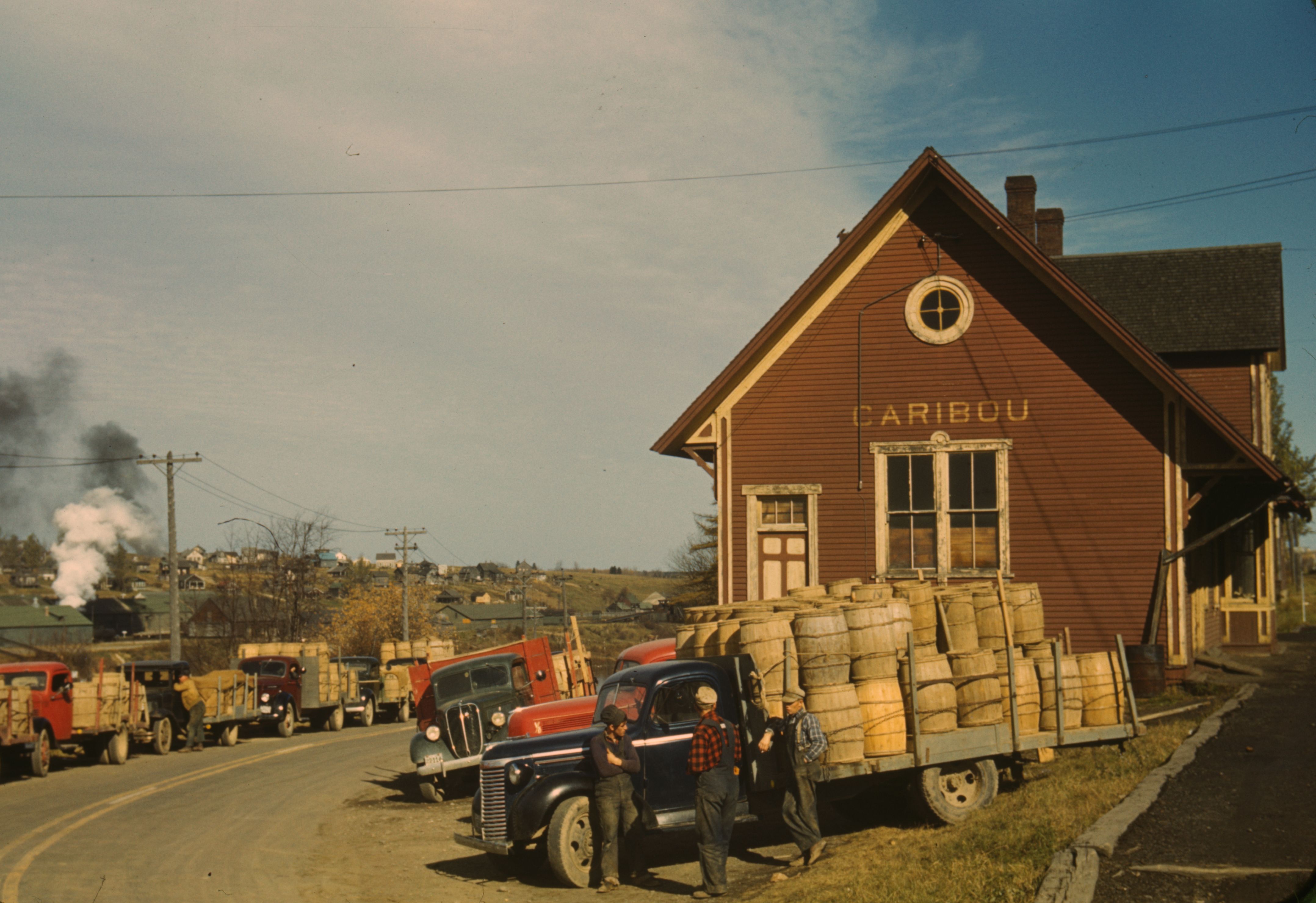
Loring Air Force Base
Loring Air Force Base (IATA: LIZ, ICAO: KLIZ) was a United States Air Force installation in northeastern Maine, near Limestone and Caribou in Aroostook County. It was one of the largest bases of the U.S. Air Force's Strategic Air Command during its e..
Loring Air Force Base Wikipedia Page

About Our Data
The data on this page is estimated using a number of publicly available tools and resources. It is provided without warranty, and could contain inaccuracies. Use at your own risk.