Categories in Tapipa
Tapipa Facts
| Local Time | |
| Timezone | Venezuela Time |
| Lat & Lng | 10.22891, -66.31172 |
| Postal Codes | 1224 |
Map of Tapipa
Interactive Map
Recent Nearby Earthquakes
Magnitude 3.0 and greater
| Date▼ | Time↕ | Magnitude↕ | Distance↕ | Depth↕ | Location↕ | Link |
|---|---|---|---|---|---|---|
| 8/30/17 | 2:01 PM | 4.5 | 52.4 km | 11,030 m | 25km NNE of Guatire, Venezuela | usgs.gov |
| 5/4/09 | 9:27 AM | 4 | 84.2 km | 3,500 m | Miranda, Venezuela | usgs.gov |
| 5/4/09 | 9:10 AM | 5.5 | 76.6 km | 6,100 m | Miranda, Venezuela | usgs.gov |
| 4/5/09 | 8:24 PM | 4.3 | 82.1 km | 10,000 m | offshore Vargas, Venezuela | usgs.gov |
| 12/26/07 | 5:59 AM | 4.6 | 90.9 km | 5,900 m | offshore Miranda, Venezuela | usgs.gov |
| 2/8/01 | 5:57 PM | 3.7 | 99.3 km | 33,000 m | offshore Miranda, Venezuela | usgs.gov |
| 10/25/95 | 12:42 PM | 4.1 | 40.7 km | 10,000 m | Vargas, Venezuela | usgs.gov |
| 8/25/86 | 5:25 PM | 4.9 | 83.6 km | 10,000 m | Miranda, Venezuela | usgs.gov |
| 8/18/86 | 8:55 PM | 4.8 | 78.1 km | 10,300 m | Miranda, Venezuela | usgs.gov |
| 10/29/00 | 9:11 AM | 7.7 | 91.9 km | 0 m | offshore Miranda, Venezuela | usgs.gov |
Source: U.S. Geological Survey (USGS)
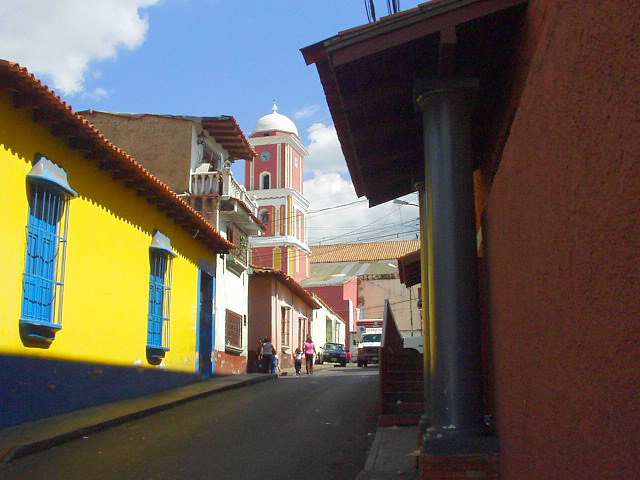
Tapipa
Tapipa is a town in the state of Miranda, Venezuela, in the Venezuelan Coastal Range near the Tuy River. It was founded on 20 January 1784 as a settlement for labourers on surrounding cacao plantations. The population of Tapipa is largely Afro-Venezu..
Tapipa Wikipedia Page

About Our Data
The data on this page is estimated using a number of publicly available tools and resources. It is provided without warranty, and could contain inaccuracies. Use at your own risk.