Ravča Facts
| Local Time | |
| Timezone | Central European Summer Time |
| Lat & Lng | 43.21111, 17.29889 |
Map of Ravča
Interactive Map
Price Distribution
Business distribution by price for Ravča
Recent Nearby Earthquakes
Magnitude 3.0 and greater
| Date▼ | Time↕ | Magnitude↕ | Distance↕ | Depth↕ | Location↕ | Link |
|---|---|---|---|---|---|---|
| 9/7/18 | 8:35 PM | 4.1 | 31.8 km | 10,000 m | 4km NNW of Imotski, Croatia | usgs.gov |
| 6/18/18 | 10:48 PM | 3.4 | 25.3 km | 7,460 m | 8km S of Siroki Brijeg, Bosnia and Herzegovina | usgs.gov |
| 2/14/16 | 2:51 PM | 4.4 | 19.8 km | 10,000 m | 8km WNW of Komin, Croatia | usgs.gov |
| 12/29/13 | 6:54 AM | 4.2 | 13.8 km | 10,000 m | 13km NNE of Orebic, Croatia | usgs.gov |
| 6/21/09 | 11:20 AM | 4.6 | 23.9 km | 10,000 m | Croatia | usgs.gov |
| 11/27/08 | 3:52 AM | 3.5 | 25.7 km | 600 m | Bosnia and Herzegovina | usgs.gov |
| 9/9/08 | 8:50 AM | 3.1 | 27.6 km | 7,900 m | Adriatic Sea | usgs.gov |
| 12/19/07 | 1:18 AM | 3.3 | 27.4 km | 100 m | Bosnia and Herzegovina | usgs.gov |
| 8/25/07 | 3:55 AM | 3.9 | 30.5 km | 0 m | Bosnia and Herzegovina | usgs.gov |
| 5/13/07 | 2:06 AM | 3 | 21.7 km | 10,000 m | Croatia-Bosnia and Herzegovina border region | usgs.gov |
Source: U.S. Geological Survey (USGS)
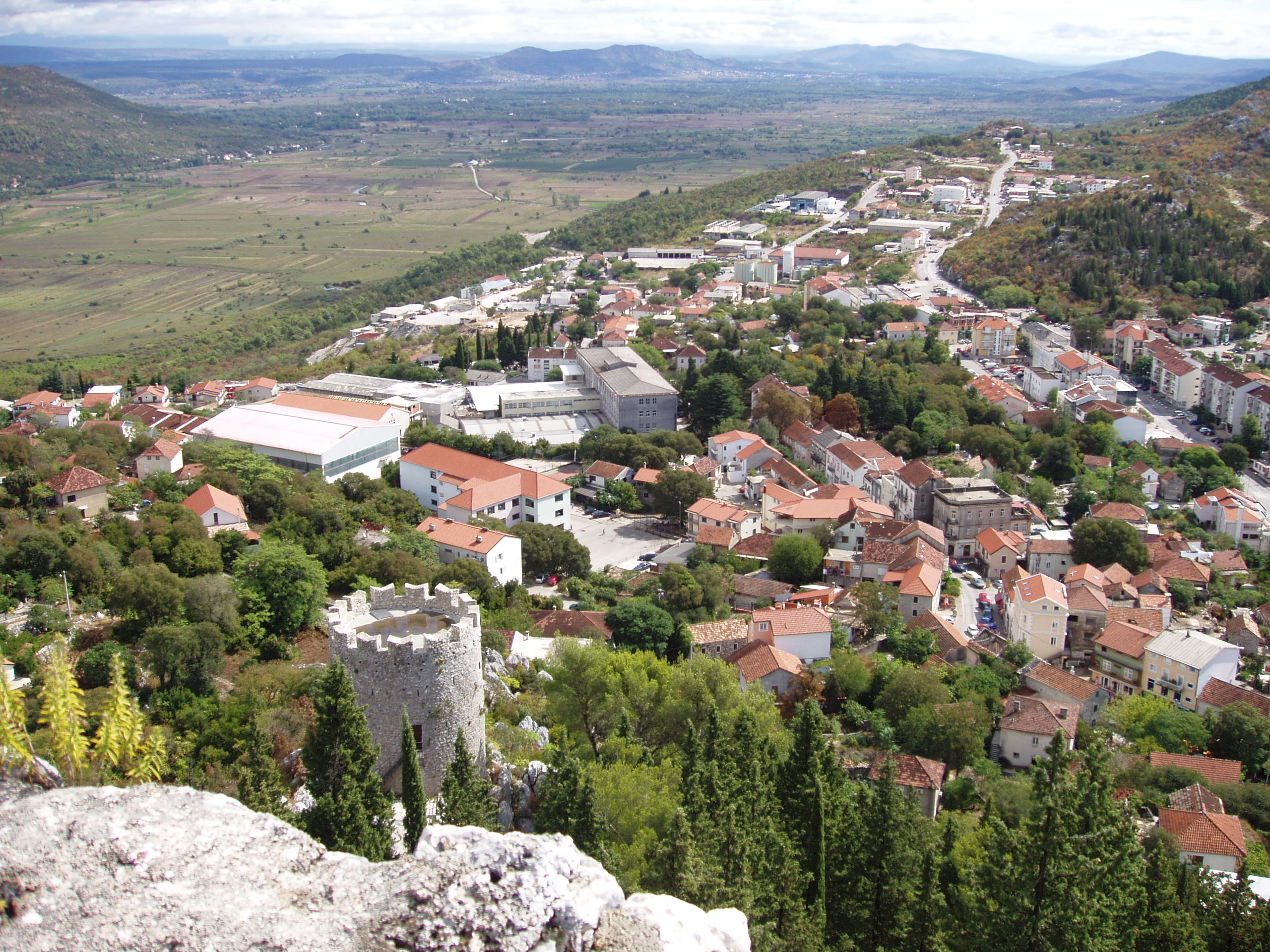
Ravča
Ravča is a village in Croatia. It is connected by the D512 highway. Since December 2008, the A1 motorway has an eponymous exit located west of the village.
Ravča Wikipedia Page

About Our Data
The data on this page is estimated using a number of publicly available tools and resources. It is provided without warranty, and could contain inaccuracies. Use at your own risk.