Varayeneh Facts
| Local Time | |
| Timezone | Iran Standard Time |
| Lat & Lng | 34.07910, 48.40560 |
Map of Varayeneh
Interactive Map
Recent Nearby Earthquakes
Magnitude 3.0 and greater
| Date▼ | Time↕ | Magnitude↕ | Distance↕ | Depth↕ | Location↕ | Link |
|---|---|---|---|---|---|---|
| 10/18/18 | 3:14 PM | 4.4 | 25.3 km | 10,000 m | 17km W of Borujerd, Iran | usgs.gov |
| 9/19/18 | 12:41 PM | 4.3 | 67.6 km | 10,000 m | 9km WSW of Azna, Iran | usgs.gov |
| 7/11/18 | 11:13 AM | 4.3 | 81.2 km | 10,000 m | 17km SSE of Khorramabad, Iran | usgs.gov |
| 12/13/17 | 6:05 AM | 4.1 | 89.6 km | 10,000 m | 6km ENE of Kuhdasht, Iran | usgs.gov |
| 11/23/17 | 10:30 PM | 4.4 | 48.3 km | 10,000 m | 22km SSW of Borujerd, Iran | usgs.gov |
| 11/14/17 | 9:15 AM | 4.1 | 80.9 km | 10,000 m | 25km N of Kuhdasht, Iran | usgs.gov |
| 11/14/17 | 4:48 AM | 4.2 | 70.7 km | 10,000 m | 31km NNE of Kuhdasht, Iran | usgs.gov |
| 11/14/17 | 4:28 AM | 4.5 | 86.4 km | 10,000 m | 22km N of Kuhdasht, Iran | usgs.gov |
| 11/13/17 | 4:49 PM | 4.4 | 75.1 km | 10,000 m | 31km N of Kuhdasht, Iran | usgs.gov |
| 11/13/17 | 3:33 PM | 4.6 | 74.5 km | 10,000 m | 20km NE of Kuhdasht, Iran | usgs.gov |
Source: U.S. Geological Survey (USGS)
Varayeneh
Varayeneh (Persian: وراينه, also Romanized as Varāyeneh, Var Āyneh, Varāyneh, and Varā’īneh; also known as Āyeneh, Varāmīneh, Varavīna, Varvenī, and Waraweni) is a village in Gamasiyab Rural District, in the Central District of Nahavand County, Ham..
Varayeneh Wikipedia Page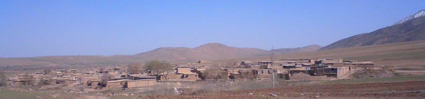
About Our Data
The data on this page is estimated using a number of publicly available tools and resources. It is provided without warranty, and could contain inaccuracies. Use at your own risk.