Industries
Business Distribution by Industry in Oshikango
| Industry Description | Number of Establishments |
|---|---|
| Grocery stores and supermarkets | 9 |
| Clothing stores | 8 |
Oshikango Facts
| Area | 1.2 km² |
| Population | 2,200 |
| Male Population | 994 (45.2%) |
| Female Population | 1,206 (54.8%) |
| Population change (1975 to 2020) | +207.3% |
| Population change (2000 to 2020) | +29.7% |
| Median Age | 18 years (Male: 16.6, Female: 19.2) |
| Area Codes | 65, 6751 |
| Local Time | |
| Timezone | Central Africa Time |
| Lat & Lng | -17.40000, 15.88333 |
Map of Oshikango
Interactive Map
Oshikango Population
Years 1975 to 2020
| Data | 1975 | 1990 | 2000 | 2015 | 2020 |
|---|---|---|---|---|---|
| Population | 716 | 1,231 | 1,696 | 2,041 | 2,200 |
| Population Density | 602.9 / km² | 1,036.6 / km² | 1,428.2 / km² | 1,718.7 / km² | 1,852.6 / km² |
Oshikango Population change from 2000 to 2015
Increase of 20.3% from year 2000 to 2015
| Location | Change since 1975 | Change since 1990 | Change since 2000 |
|---|---|---|---|
| Oshikango | +185.1% | +65.8% | +20.3% |
| Ohangwena Region | +135.2% | +52.4% | +17.5% |
| Namibia | +169.8% | +71.5% | +28.5% |
Oshikango Median Age
Median Age: 18 years
| Location | Median Age | Median Age (Female) | Median Age (Male) |
|---|---|---|---|
| Oshikango | 18 yrs | 19.2 yrs | 16.6 yrs |
| Ohangwena Region | 16.9 yrs | 18.2 yrs | 15.5 yrs |
| Namibia | 21.1 yrs | 21.7 yrs | 20.6 yrs |
Oshikango Population Density
Population Density: 1,853 / km²
| Location | Population | Area | Density |
|---|---|---|---|
| Oshikango | 2,200 | 1.188 km² | 1,853 / km² |
| Ohangwena Region | 284,506 | 10,697.1 km² | 26.6 / km² |
| Namibia | 2.5 million | 824,094.1 km² | 3 / km² |
Oshikango Historical and Projected Population
Estimated Population from 1840 to 2100
- JRC (European Commission's Joint Research Centre) work on the GHS built-up grid
- CIESIN (Center for International Earth Science Information Network)
- [Link] Klein Goldewijk, K., Beusen, A., Doelman, J., and Stehfest, E.: Anthropogenic land use estimates for the Holocene – HYDE 3.2, Earth Syst. Sci. Data, 9, 927–953, https://doi.org/10.5194/essd-9-927-2017, 2017.
Price Distribution
Business distribution by price for Oshikango
Human Development Index (HDI)
Statistic composite index of life expectancy, education, and per capita income.
Oshikango CO2 Emissions
Carbon Dioxide (CO2) Emissions Per Capita in Tonnes Per Year
| Location | CO2 Emissions | CO2 Emissions Per Capita | CO2 Emissions Intensity |
|---|---|---|---|
| Oshikango | 5,726 tn | 2.6 tn | 4,821.8 tons/km² |
| Ohangwena Region | 644,402 tn | 2.26 tn | 60.2 tons/km² |
| Namibia | 7,056,182 tn | 2.84 tn | 8.6 tons/km² |
| 2013 CO2 emissions (tonnes/year) | 5,726 tn |
| 2013 CO2 emissions (tonnes/year) per capita | 2.6 tn |
| 2013 CO2 emissions intensity (tonnes/km²/year) | 4,821.8 tons/km² |
Natural Hazards Risk
Relative risk out of 10
| Hazard | Risk Level |
|---|---|
| Drought | Medium (7) |
* Risk, particularly concerning flood or landslide, may not be for the entire area.
- Dilley, M., R.S. Chen, U. Deichmann, A.L. Lerner-Lam, M. Arnold, J. Agwe, P. Buys, O. Kjekstad, B. Lyon, and G. Yetman. 2005. Natural Disaster Hotspots: A Global Risk Analysis. Washington, D.C.: World Bank. https://doi.org/10.1596/0-8213-5930-4.
- Center for Hazards and Risk Research - CHRR - Columbia University, Center for International Earth Science Information Network - CIESIN - Columbia University, and International Research Institute for Climate and Society - IRI - Columbia University. 2005. Global Drought Hazard Frequency and Distribution. Palisades, NY: NASA Socioeconomic Data and Applications Center (SEDAC). https://doi.org/10.7927/H4VX0DFT.
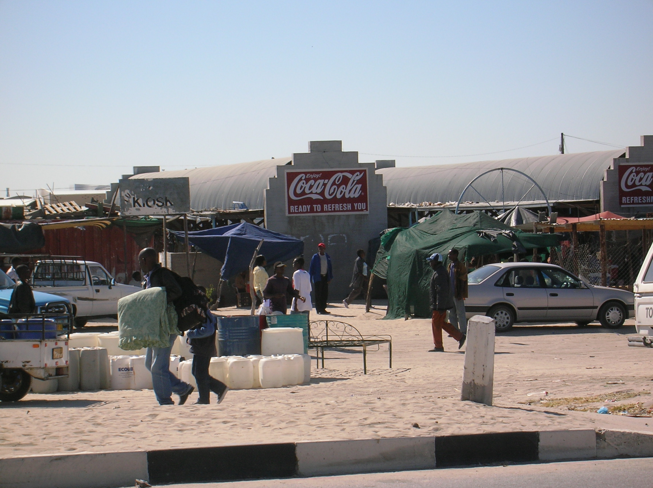
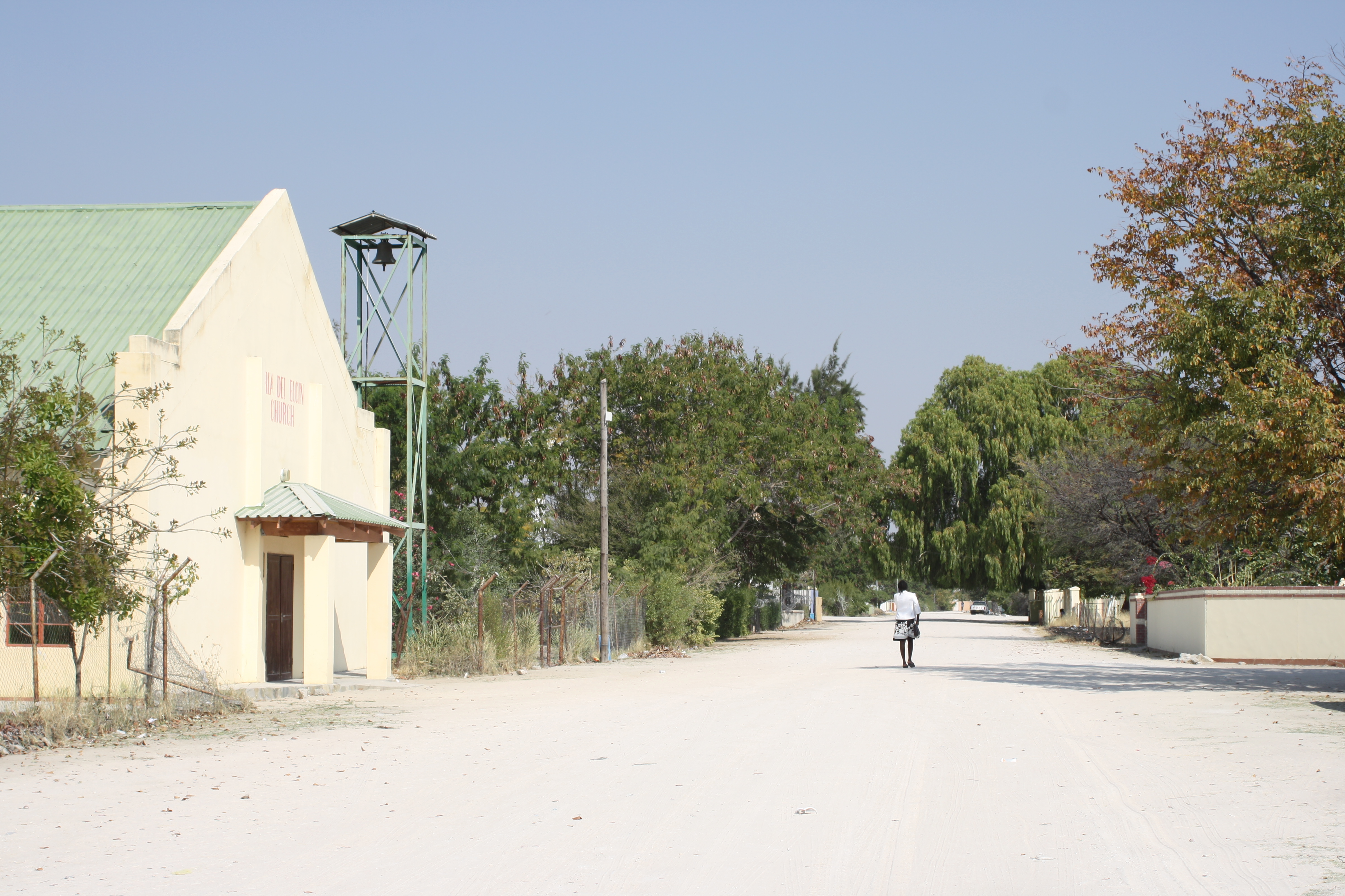
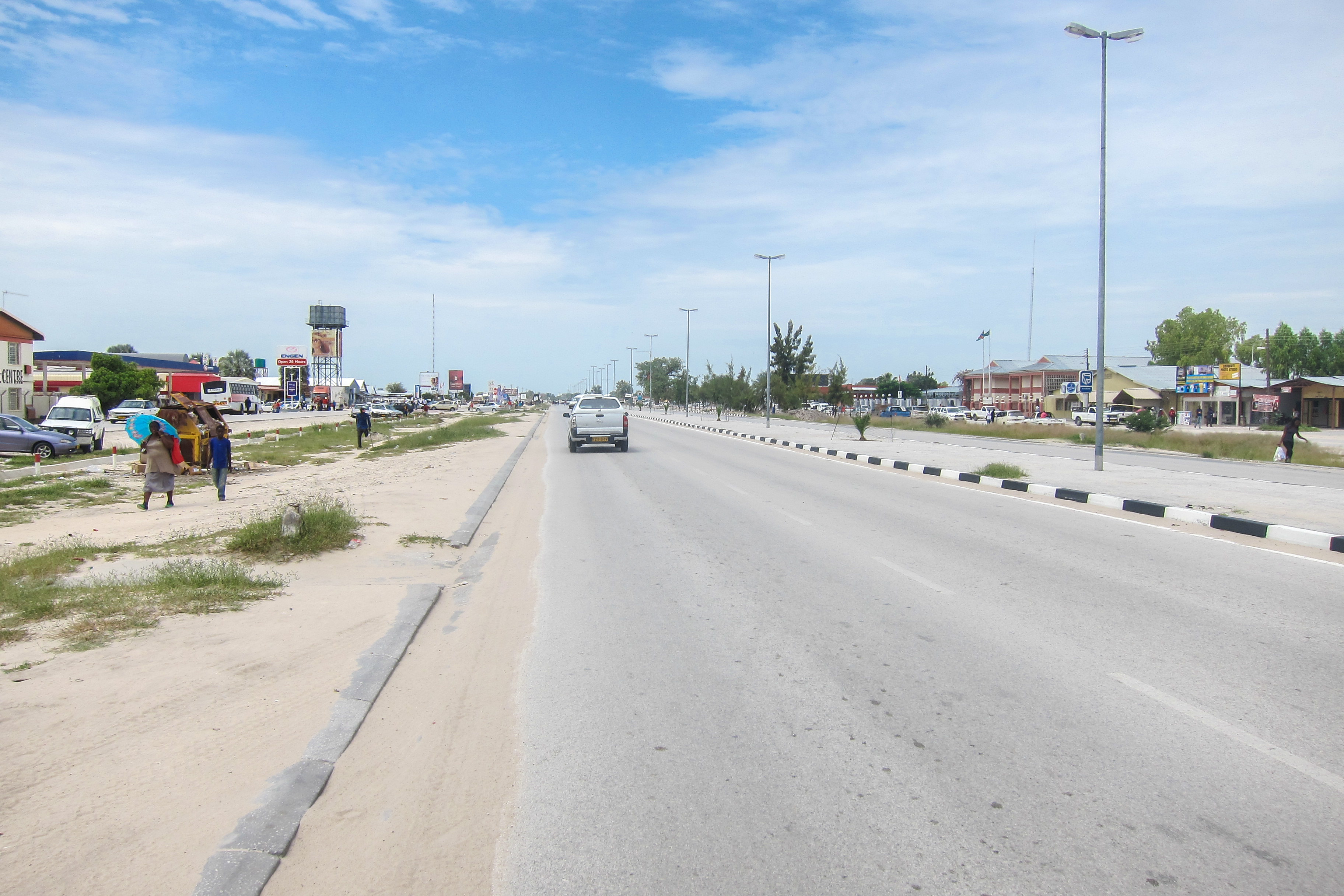
Oshikango
Oshikango is a former village in northern Namibia and since 2004 part of the town of Helao Nafidi, although it still maintained its own village council for a number of years. Oshikango is still the name of the border post with Angola and the electora..
Oshikango Wikipedia Page
About Our Data
The data on this page is estimated using a number of publicly available tools and resources. It is provided without warranty, and could contain inaccuracies. Use at your own risk.