Satpokharee Facts
| Local Time | |
| Timezone | Nepal Time |
| Lat & Lng | 27.75413, 83.67202 |
Map of Satpokharee
Interactive Map
Recent Nearby Earthquakes
Magnitude 3.0 and greater
| Date▼ | Time↕ | Magnitude↕ | Distance↕ | Depth↕ | Location↕ | Link |
|---|---|---|---|---|---|---|
| 6/13/16 | 11:27 PM | 4.1 | 83.2 km | 10,000 m | 28km NNE of Bharatpur, Nepal | usgs.gov |
| 5/11/16 | 8:52 AM | 4.5 | 93.9 km | 15,990 m | 26km SE of Lamjung, Nepal | usgs.gov |
| 5/16/15 | 12:46 AM | 4.1 | 88 km | 10,000 m | 27km SE of Lamjung, Nepal | usgs.gov |
| 5/12/15 | 9:25 PM | 5.2 | 95.3 km | 10,000 m | 23km ENE of Bharatpur, Nepal | usgs.gov |
| 5/3/15 | 2:15 AM | 4 | 91.5 km | 10,000 m | 18km ENE of Bharatpur, Nepal | usgs.gov |
| 5/1/15 | 6:47 PM | 4.1 | 94.8 km | 10,000 m | 20km ENE of Bharatpur, Nepal | usgs.gov |
| 4/30/15 | 12:37 AM | 4.3 | 99.4 km | 10,000 m | 33km NE of Bharatpur, Nepal | usgs.gov |
| 4/29/15 | 9:39 AM | 4.2 | 87.9 km | 10,000 m | 14km ENE of Bharatpur, Nepal | usgs.gov |
| 4/27/15 | 1:17 PM | 4.3 | 94.5 km | 19,520 m | 29km SE of Lamjung, Nepal | usgs.gov |
| 4/25/15 | 8:07 PM | 4.4 | 87.8 km | 10,000 m | 30km SSE of Lamjung, Nepal | usgs.gov |
Source: U.S. Geological Survey (USGS)
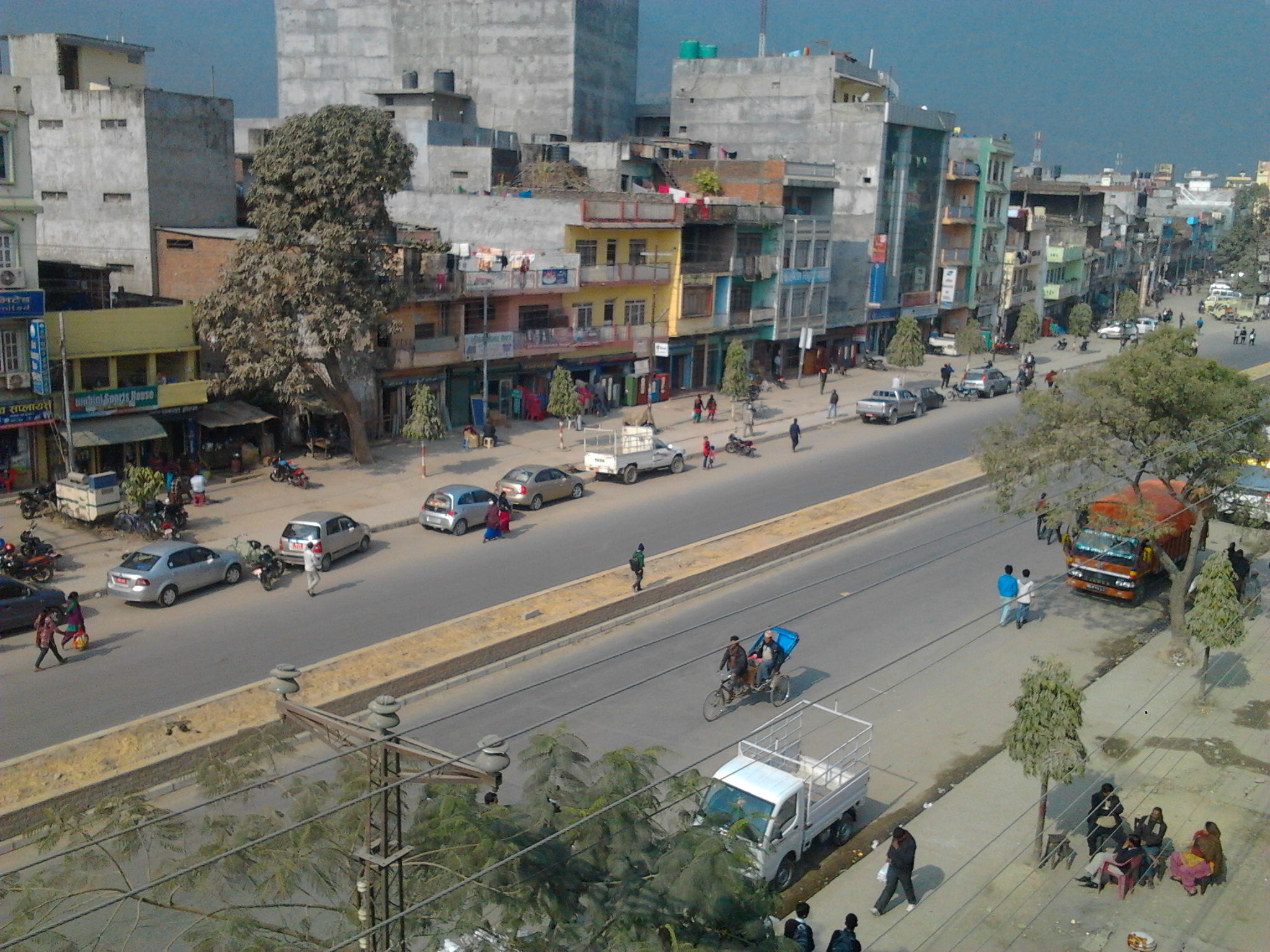
Satpokharee
Satpokharee is a valley in the V.D.C.Gothadi ward no. 2 Palpa District in the Lumbini Zone of southern Nepal. Population of 260 people living in 52 individual households.
Satpokharee Wikipedia Page

About Our Data
The data on this page is estimated using a number of publicly available tools and resources. It is provided without warranty, and could contain inaccuracies. Use at your own risk.