Categories in Gulmit
Industries
Business Distribution by Industry in Gulmit
| Industry Description | Number of Establishments |
|---|---|
| Restaurants | 10 |
Gulmit Facts
| Neighborhoods | Gulmit |
| Local Time | |
| Timezone | Pakistan Standard Time |
| Lat & Lng | 36.38764, 74.86448 |
Map of Gulmit
Interactive Map
Recent Nearby Earthquakes
Magnitude 3.0 and greater
| Date▼ | Time↕ | Magnitude↕ | Distance↕ | Depth↕ | Location↕ | Link |
|---|---|---|---|---|---|---|
| 10/7/18 | 2:39 AM | 3.9 | 59.3 km | 79,370 m | 61km N of Barishal, Pakistan | usgs.gov |
| 7/7/18 | 1:34 AM | 4.3 | 86 km | 83,270 m | 28km SSE of Gilgit, Pakistan | usgs.gov |
| 5/6/17 | 5:57 PM | 4.2 | 89.7 km | 77,300 m | 68km NNE of Gakuch, Pakistan | usgs.gov |
| 12/24/14 | 5:38 AM | 4.1 | 84.7 km | 74,090 m | 100km E of Barishal, Pakistan | usgs.gov |
| 12/19/14 | 11:30 PM | 4.2 | 96.3 km | 66,270 m | 20km NNE of Idgah, Pakistan | usgs.gov |
| 7/8/14 | 3:35 PM | 4.8 | 87 km | 74,720 m | 15km ENE of Gakuch, Pakistan | usgs.gov |
| 7/7/14 | 9:49 PM | 4.4 | 92.8 km | 51,140 m | 29km NE of Idgah, Pakistan | usgs.gov |
| 7/3/14 | 8:40 PM | 4.9 | 94.8 km | 35,000 m | 31km NE of Idgah, Pakistan | usgs.gov |
| 11/3/13 | 8:18 AM | 4.3 | 43.8 km | 88,780 m | 19km WSW of Aliabad, Pakistan | usgs.gov |
| 12/27/08 | 1:38 PM | 3.9 | 94.5 km | 11,900 m | Hindu Kush region, Afghanistan | usgs.gov |
Source: U.S. Geological Survey (USGS)
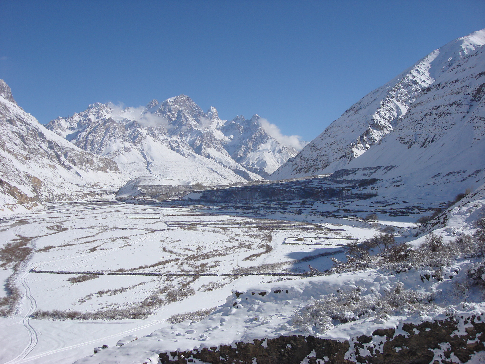
Gulmit
Gulmit is the headquarters of the Gojal Tehsil, in the upper Hunza region of the Gilgit territory in the Gilgit Baltistan region of Pakistan. Gulmit is a centuries-old historic town, with mountains, peaks and glaciers. It is a tourist spot and has ma..
Gulmit Wikipedia Page


About Our Data
The data on this page is estimated using a number of publicly available tools and resources. It is provided without warranty, and could contain inaccuracies. Use at your own risk.