Passu Facts
| Neighborhoods | Passu |
| Local Time | |
| Timezone | Pakistan Standard Time |
| Lat & Lng | 36.46632, 74.89415 |
Map of Passu
Interactive Map
Recent Nearby Earthquakes
Magnitude 3.0 and greater
| Date▼ | Time↕ | Magnitude↕ | Distance↕ | Depth↕ | Location↕ | Link |
|---|---|---|---|---|---|---|
| 10/7/18 | 2:39 AM | 3.9 | 53.1 km | 79,370 m | 61km N of Barishal, Pakistan | usgs.gov |
| 7/7/18 | 1:34 AM | 4.3 | 95 km | 83,270 m | 28km SSE of Gilgit, Pakistan | usgs.gov |
| 10/25/17 | 9:02 PM | 4.5 | 94.7 km | 41,080 m | 118km NNE of Barishal, Pakistan | usgs.gov |
| 5/6/17 | 5:57 PM | 4.2 | 88.4 km | 77,300 m | 68km NNE of Gakuch, Pakistan | usgs.gov |
| 12/24/14 | 5:38 AM | 4.1 | 84.3 km | 74,090 m | 100km E of Barishal, Pakistan | usgs.gov |
| 7/8/14 | 3:35 PM | 4.8 | 91.6 km | 74,720 m | 15km ENE of Gakuch, Pakistan | usgs.gov |
| 11/3/13 | 8:18 AM | 4.3 | 50.3 km | 88,780 m | 19km WSW of Aliabad, Pakistan | usgs.gov |
| 12/27/08 | 1:38 PM | 3.9 | 87.6 km | 11,900 m | Hindu Kush region, Afghanistan | usgs.gov |
| 3/30/08 | 7:57 AM | 3.9 | 81.4 km | 10,000 m | northwestern Kashmir | usgs.gov |
| 2/12/08 | 5:52 PM | 4 | 87.1 km | 10,000 m | Kashmir-Xinjiang border region | usgs.gov |
Source: U.S. Geological Survey (USGS)
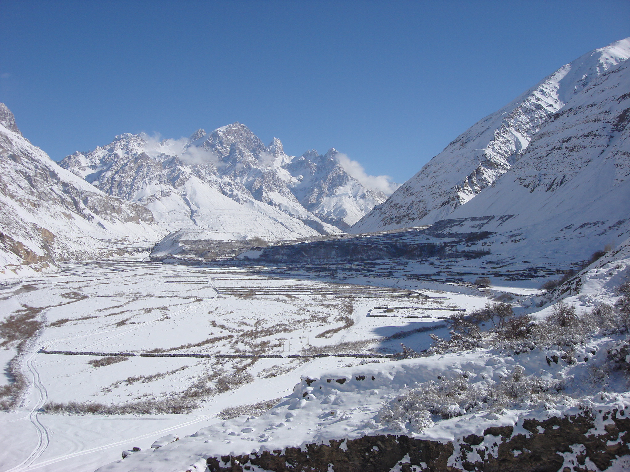
Passu
is a small village on the Karakoram Highway, beside the Hunza River, some 15 kilometers from Gulmit, the Tehsil headquarters of Gojal in the Gilgit-Baltistan region of Pakistan, and about 150 km upriver from Gilgit. It lies very near the tongue of ..
Passu Wikipedia Page


About Our Data
The data on this page is estimated using a number of publicly available tools and resources. It is provided without warranty, and could contain inaccuracies. Use at your own risk.