Categories in Railay Beach
Railay Beach Facts
| Local Time | |
| Timezone | Indochina Time |
| Lat & Lng | 8.01100, 98.83876 |
Map of Railay Beach
Interactive Map
Recent Nearby Earthquakes
Magnitude 3.0 and greater
| Date▼ | Time↕ | Magnitude↕ | Distance↕ | Depth↕ | Location↕ | Link |
|---|---|---|---|---|---|---|
| 5/6/15 | 5:30 PM | 3.8 | 28.3 km | 14,500 m | 1km ENE of Ban Phlu Nai (1), Thailand | usgs.gov |
| 5/5/15 | 9:18 PM | 4.2 | 21.6 km | 10,000 m | 18km ESE of Ban Phlu Nai (1), Thailand | usgs.gov |
| 3/24/15 | 10:32 PM | 3.4 | 31.5 km | 10,000 m | 26km SE of Ban Phlu Nai (1), Thailand | usgs.gov |
| 4/16/12 | 9:44 AM | 3.9 | 40.6 km | 10,000 m | Malay Peninsula, Thailand | usgs.gov |
Source: U.S. Geological Survey (USGS)
Railay Beach
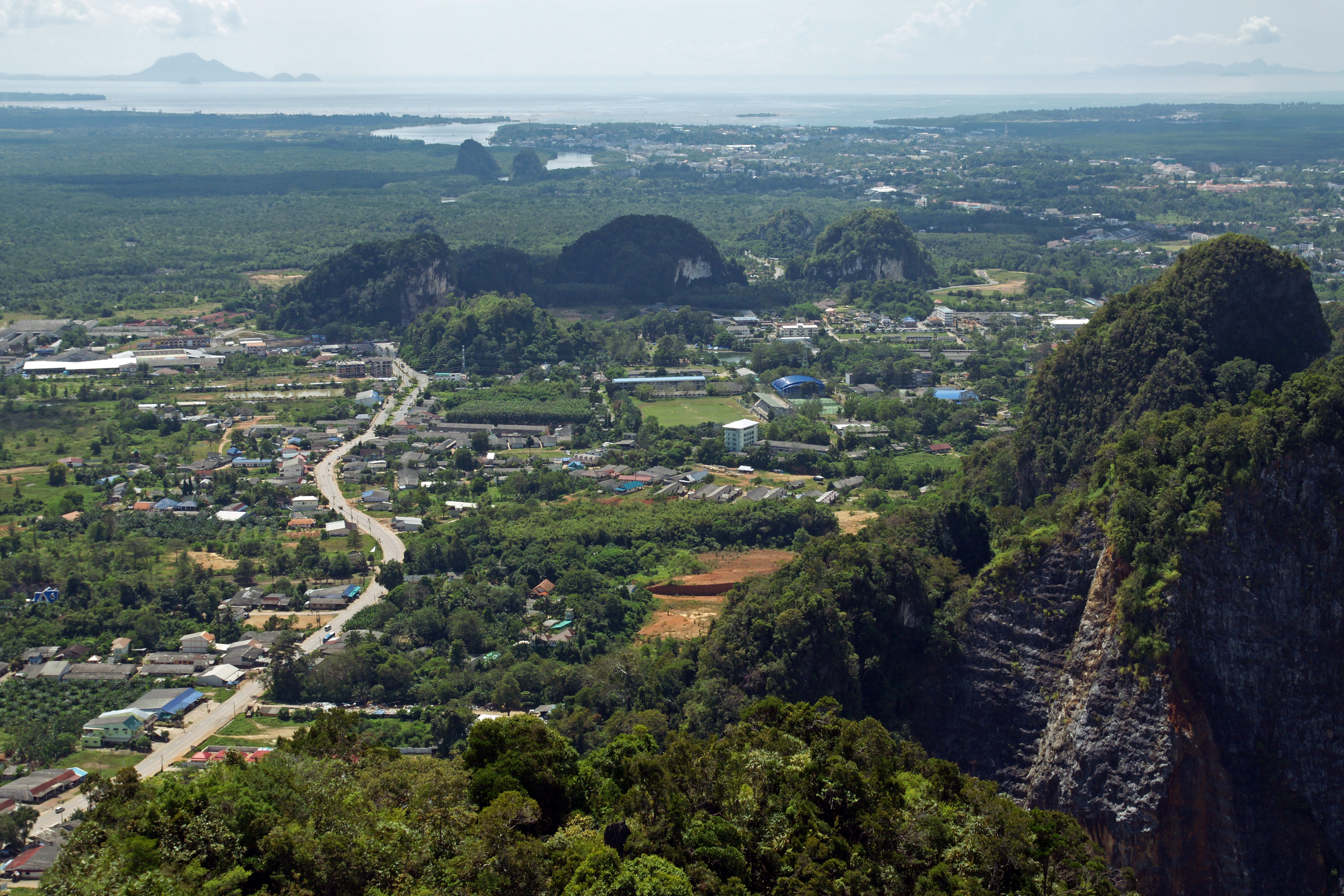
Railay (Thai: อ่าวไร่เลย์), also known as Rai Leh, is a small peninsula between the city of Krabi and Ao Nang in Thailand. It is accessible only by boat due to high limestone cliffs cutting off mainland access. These cliffs attract rock climbers from..
Railay Beach Wikipedia Page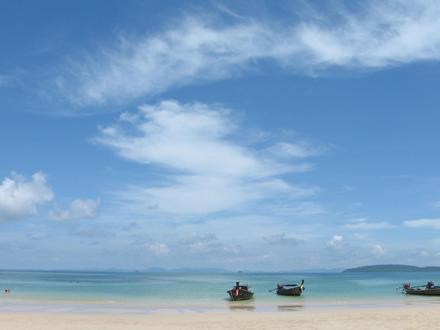


About Our Data
The data on this page is estimated using a number of publicly available tools and resources. It is provided without warranty, and could contain inaccuracies. Use at your own risk.