Msasani Facts
| Local Time | |
| Timezone | East Africa Time |
| Lat & Lng | -6.76570, 39.26505 |
Map of Msasani
Interactive Map
Recent Nearby Earthquakes
Magnitude 3.0 and greater
| Date▼ | Time↕ | Magnitude↕ | Distance↕ | Depth↕ | Location↕ | Link |
|---|---|---|---|---|---|---|
| 9/8/15 | 11:43 PM | 4.8 | 73.8 km | 10,000 m | 59km ESE of Vikindu, Tanzania | usgs.gov |
| 5/24/13 | 5:02 AM | 4.1 | 89.2 km | 14,600 m | 46km N of Kilindoni, Tanzania | usgs.gov |
| 6/10/11 | 8:28 AM | 4.8 | 53.7 km | 10,000 m | Tanzania | usgs.gov |
| 1/15/05 | 5:13 AM | 5 | 85.8 km | 10,000 m | Tanzania | usgs.gov |
| 6/9/97 | 2:38 AM | 4.4 | 43.4 km | 10,000 m | Tanzania | usgs.gov |
| 2/25/92 | 8:10 PM | 4.5 | 74.6 km | 10,000 m | Tanzania | usgs.gov |
Source: U.S. Geological Survey (USGS)
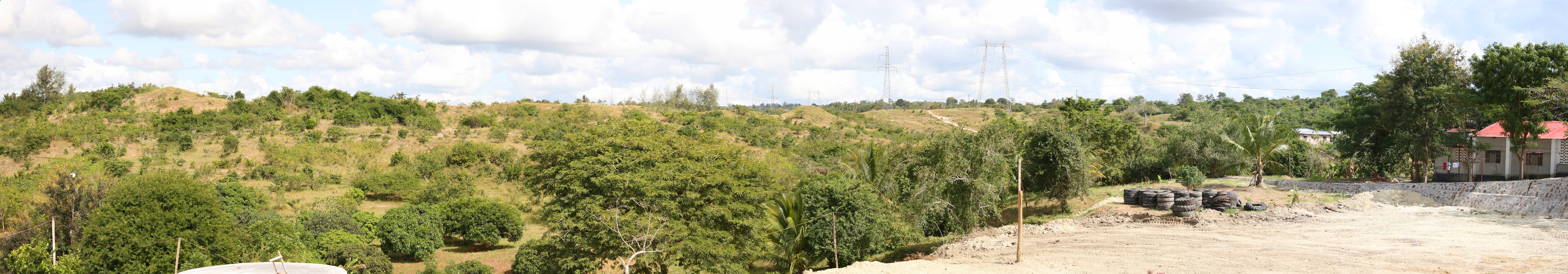
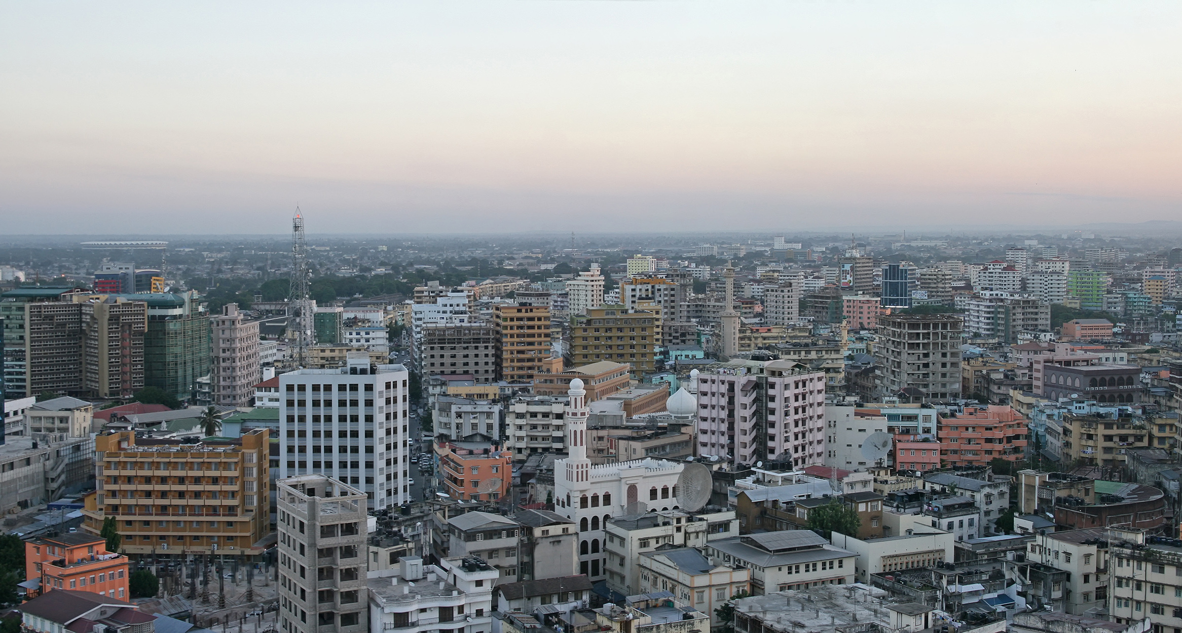
Msasani
Msasani is an administrative ward in the Kinondoni district of the Dar es Salaam Region of Tanzania. According to the 2002 census, the ward has a total population of 43,457. ward is geographically a peninsula; both the ward and the peninsula are nam..
Msasani Wikipedia Page

About Our Data
The data on this page is estimated using a number of publicly available tools and resources. It is provided without warranty, and could contain inaccuracies. Use at your own risk.