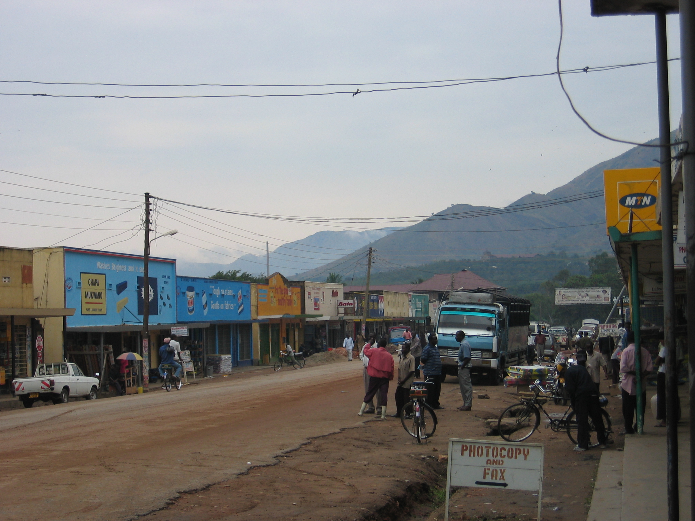
Industries
Business Distribution by Industry in Bwera
| Industry Description | Number of Establishments |
|---|---|
| Education | 17 |
| Churches | 9 |
| Primary and elementary schools | 7 |
| Religion | 7 |
| Hotels and motels | 6 |
| Shopping | 6 |
| Other accommodation | 5 |
| Electronics stores | 5 |
Bwera Facts
| Local Time | |
| Timezone | East Africa Time |
| Lat & Lng | 0.06611, 29.77750 |
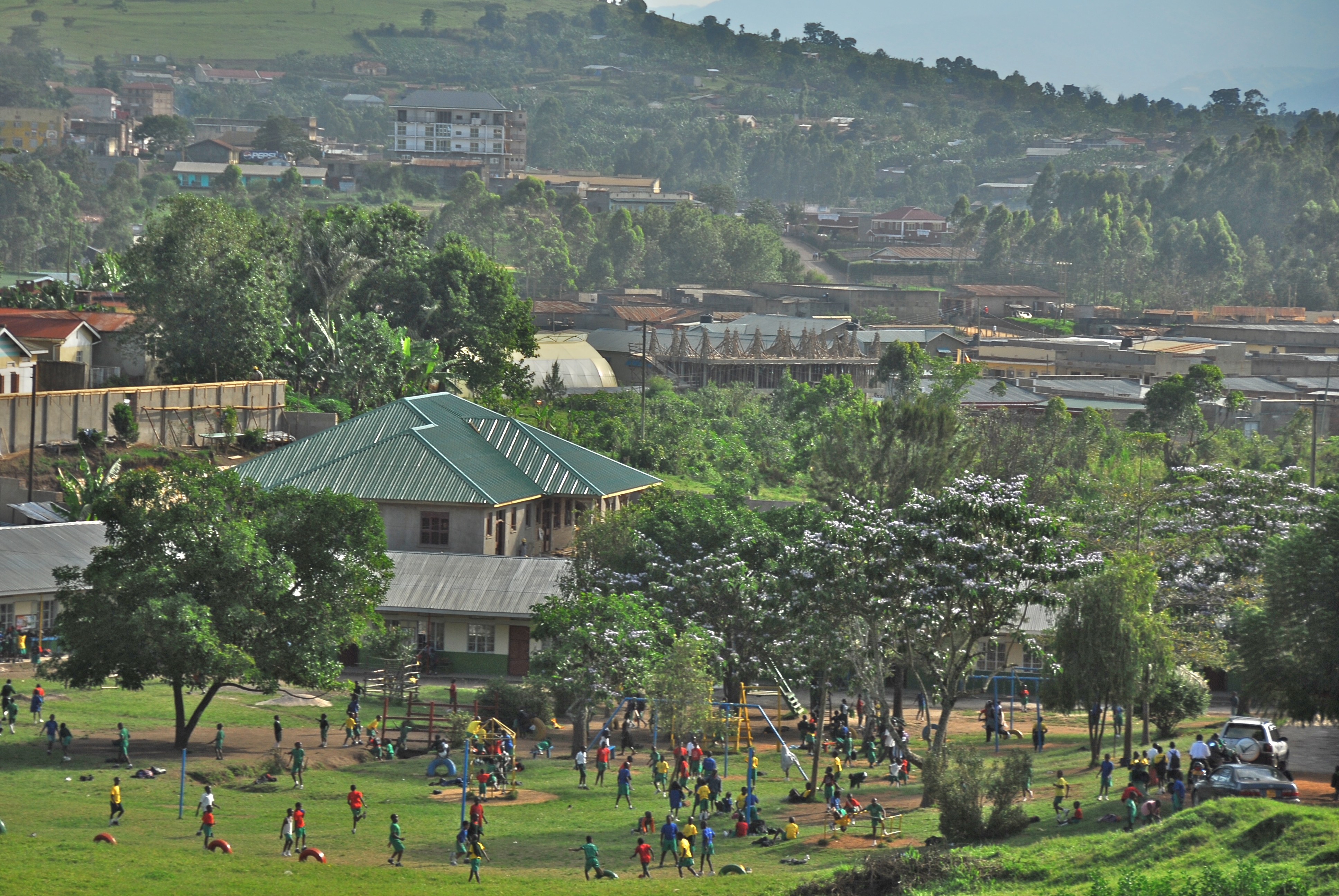
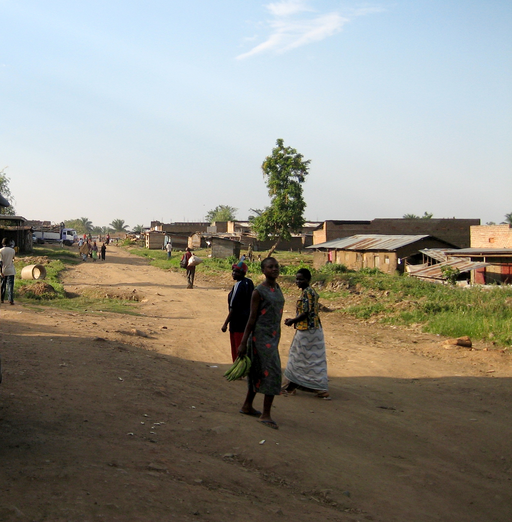
Map of Bwera
Interactive Map
Recent Nearby Earthquakes
Magnitude 3.0 and greater
| Date▼ | Time↕ | Magnitude↕ | Distance↕ | Depth↕ | Location↕ | Link |
|---|---|---|---|---|---|---|
| 8/6/19 | 4:58 PM | 4.6 | 38.3 km | 10,000 m | 16km SSE of Kasese, Uganda | usgs.gov |
| 2/12/19 | 5:38 PM | 3.9 | 11.3 km | 10,000 m | 39km SW of Kilembe, Uganda | usgs.gov |
| 12/1/18 | 6:36 PM | 4.3 | 35.9 km | 12,750 m | 27km SE of Butembo, Democratic Republic of the Congo | usgs.gov |
| 9/13/18 | 11:52 PM | 4.5 | 64.3 km | 10,000 m | 17km SW of Bundibugyo, Uganda | usgs.gov |
| 9/2/18 | 5:52 AM | 3.8 | 74.2 km | 10,000 m | 41km NNW of Ntungamo, Uganda | usgs.gov |
| 7/30/17 | 7:02 AM | 5.3 | 31.6 km | 10,000 m | 40km WNW of Rubirizi, Uganda | usgs.gov |
| 4/10/17 | 8:17 AM | 4.5 | 26.1 km | 15,080 m | 35km WNW of Rubirizi, Uganda | usgs.gov |
| 6/11/16 | 1:05 AM | 4 | 82.1 km | 10,000 m | 39km NW of Ntungamo, Uganda | usgs.gov |
| 11/25/15 | 9:38 AM | 4.7 | 26 km | 10,000 m | 47km WNW of Rubirizi, Uganda | usgs.gov |
| 9/12/15 | 12:32 PM | 4.5 | 38.7 km | 18,360 m | 24km ESE of Beni, Democratic Republic of the Congo | usgs.gov |
Source: U.S. Geological Survey (USGS)
About Our Data
The data on this page is estimated using a number of publicly available tools and resources. It is provided without warranty, and could contain inaccuracies. Use at your own risk.